Agung Volcano Volcanic Ash Advisory: VONA REPORT ERUPTION TO FL140.
Fri, 22 Feb 2019, 09:15 | BY: VN
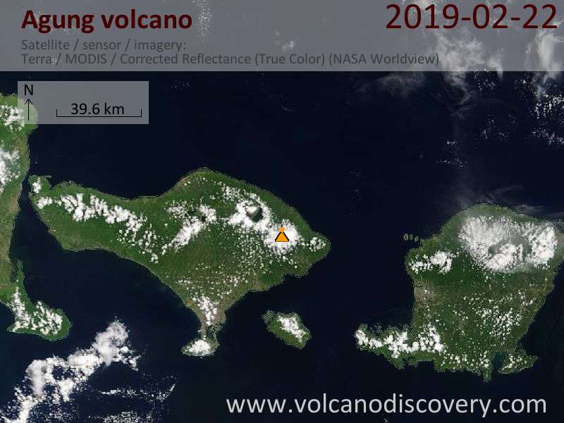
Satellite image of Agung volcano on 22 Feb 2019
FVAU02 at 09:06 UTC, 22/02/19 from ADRM
VA ADVISORY
DTG: 20190222/0907Z
VAAC: DARWIN
VOLCANO: AGUNG 264020
PSN: S0821 E11530
AREA: INDONESIA
SUMMIT ELEV: 3142M
ADVISORY NR: 2019/12
INFO SOURCE: CVGHM, WEBCAM
AVIATION COLOUR CODE: ORANGE
ERUPTION DETAILS: VONA REPORT ERUPTION TO FL140.
OBS VA DTG: 22/0907Z
OBS VA CLD: VA NOT IDENTIFIABLE FM SATELLITE DATA
FCST VA CLD +6 HR: 22/1507Z NOT PROVIDED
FCST VA CLD +12 HR: 22/2107Z NOT PROVIDED
FCST VA CLD +18 HR: 23/0307Z NOT PROVIDED
RMK: A MORE DETAILED ADVISORY WILL FOLLOW AS SOON AS
POSSIBLE.
NXT ADVISORY: NO LATER THAN 20190222/0927Z
- All news about: Agung volcano
- Information about: Agung volcano
Previous news
Wed, 20 Feb 2019, 06:00
Agung volcano (Bali, Indonesia) - Smithsonian / USGS Weekly Volcanic Activity Report for 20 February-26 February 2019 (Continuing Activity)
PVMBG reported that at 1631 on 22 February an event at Agung generated an ash plume that rose 700 m and drifted E. The Alert Level remained at 3 (on a scale of 1-4) with the exclusion zone set at a 4-km radius. ... Read all
Wed, 13 Feb 2019, 06:00
Agung volcano (Bali, Indonesia) - Smithsonian / USGS Weekly Volcanic Activity Report for 13 February-19 February 2019 (Continuing Activity)
PVMBG reported that an explosive event at Agung was recorded at 0434 on 14 February, causing ashfall in Bugbug village, 20 km SE. Crater incandescence was recorded at night by webcams in Karangasem City (16 km SE). The Alert Level remained at 3 (on a scale of 1-4) with the exclusion zone set at a 4-km radius. ... Read all
Show more