Contact | RSS | EN | DE | EL | ES | FR | IT | RU

Biliran Volcano

Updated: Apr 16, 2024 16:40 GMT -
compound volcano 1301 m / 4,268 ft
Central Philippines (Philippines), 11.52°N / 124.54°E
Current status: normal or dormant (1 out of 5)

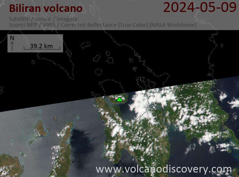
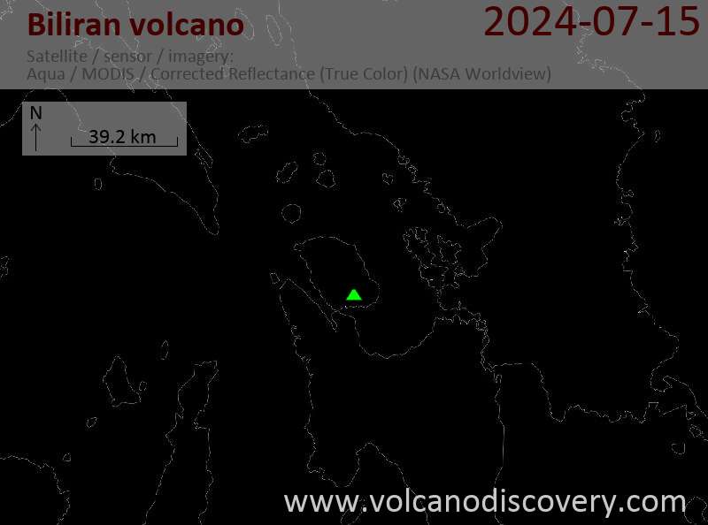
Biliran volcano comprises the whole 20x35 km Island of Biliran which is formed by a group of lava domes. It is located across the narrow Biliran Strait from the northern tip of Leyte Island.
Biliran volcano is at the northern end of a 170 km long volcanic chain extending SSE to Panaon Island.
The only known historic activity took place on 26 September 1939 and consisted of a phreatic explosion accompanied possibly by a debris avalanche. Ash fell in Caibiran town 12 km to the E.
There are many fumarole fields, hot springs, mud pools and thermal areas on Biliran.

[smaller] [larger]
Typical eruption style: explosive
Biliran volcano eruptions: 1939

Latest nearby earthquakes

TimeMag. / DepthDistance / Location
Apr 13, 02:12 am (Manila)
2.8

1 km
22 km (14 mi) to the S 012 km S 70° E of Leyte (Leyte)
Info

Latest satellite images

Biliran satellite image sat1Biliran satellite image sat2

No news in this list.

On this page:

Try our free app!
Volcanoes & Earthquakes - new app for Android
Android | iOS version

More on VolcanoDiscovery

Why is there advertising on this site?

Support us - Help us upgrade our services!

We truly love working to bring you the latest volcano and earthquake data from around the world. Maintaining our website and our free apps does require, however, considerable time and resources.
We need financing to increase hard- and software capacity as well as support our editor team. We're aiming to achieve uninterrupted service wherever an earthquake or volcano eruption unfolds, and your donations can make it happen! Every donation will be highly appreciated. If you find the information useful and would like to support our team in integrating further features, write great content, and in upgrading our soft- and hardware, please make a donation (PayPal or Online credit card payment).

Planned features:Thanks to your past donations, these features have been added recently:
Download and Upgrade the Volcanoes & Earthquakes app to get one of the fastest seismic and volcano alerts online:
Android | IOS
Thank you!
Sources: VolcanoDiscovery / VolcanoAdventures and other sources as noted.
Use of material: Most text and images on our websites are owned by us. Re-use is generally not permitted without authorization. Contact us for licensing rights.
Volcanoes & Earthquakes
VolcanoDiscovery Home
Volcanoes | Earthquakes | Photos | Volcano News | App
Adventure & Study Travel
Tours to Volcanoes and Volcanic Areas: walking tours, photo tours, study tours
Tours & Dates | FAQ | About us
Get our newsletter!
Company info
Contact | Legal info | Terms & conditions
Follow us
Follow us on facebook Follow us on Instagram Follow us on Twitter Visit our Youtube channel
EN | DE | EL | ES | FR | IT | RU
VolcanoDiscovery GmbH, Germany, Reg. nr.: HRB 103744, EU Tax Id: DE 297 465 123 owned and created by
Dr. Tom Pfeiffer, volcanologist, volcano photographer, tour organizer member of
IAVCEI
IAVCEI
Vulkanologische Gesellschaft
Volcanological Society
Ecotourism Greece
Ecotourism Greece
RUV insurance
Insured by R+V
VolcanoDiscovery © 2004- All Rights Reserved | Privacy - Cookie Settings