Contact | RSS | EN | DE | EL | ES | FR | IT | RU

Datong Volcano

Updated: Apr 20, 2024 13:40 GMT -
cinder cones 1882 m / 6,175 ft
Shanxi Province, Northern China, 40°N / 113.28°E
Current status: normal or dormant (1 out of 5)

The Datong volcanoes (Datong-Fengzen volcanic field) are located 3 km northeast of Datong City at Xigelaoshan in North China west of Beijing.
The volcanic field contains approx. 80 cinder cones and small lava domes. The most notable cones are Heishan (1,422 meters above sea level), Jinshan (1,368 meters above sea level), Langwoshan (1,028 meters above sea level) and Gelaoshan (1,276 meters above sea level). The well-preserved Jinshan cone is a major tourist attraction of the area.
There are unconfirmed records of historic eruptions around 450 AD.

[smaller] [larger]
Typical eruption style: strombolian
Datong volcano eruptions: 450 AD (?), 60,000 years ago, 340,000 years ago

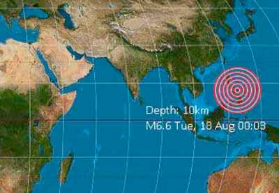
Latest nearby earthquakes

No recent earthquakes
TimeMag. / DepthDistance / Location

Background

The Datong-Fengzhen volcano group, also known as Ta-T'ung or Fanjiatun, is located at the intersection of two regional fault zones. The volcanic field contains about 80 volcanic vents, including 30 cinder cones and small lava domes.
The central Datong group contains 12 cones. An historical eruption reported during the 5th century (Chen 1986) has been shown to have originated from spontaneous combustion of a Jurassic coal seam (Zhang 1989, pers. comm.). The 13 youngest cones of the volcanic field have been Potassium-Argon dated at 0.34-0.37 million years.

- Datong Volcanoes (www.chinaculture.org)
- Wei et al (2003) "Three active volcanoes in China and their hazards", Journal of Asian Earth Sciences, v. 21 (5), pp. 515–526

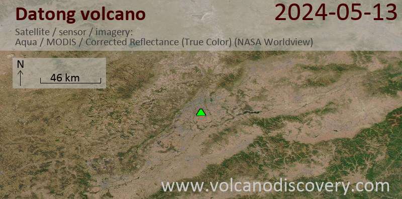
Latest satellite images

Datong satellite image sat1Datong satellite image sat2

No news in this list.

On this page:

Try our free app!
Volcanoes & Earthquakes - new app for Android
Android | iOS version

More on VolcanoDiscovery

Why is there advertising on this site?

Support us - Help us upgrade our services!

We truly love working to bring you the latest volcano and earthquake data from around the world. Maintaining our website and our free apps does require, however, considerable time and resources.
We need financing to increase hard- and software capacity as well as support our editor team. We're aiming to achieve uninterrupted service wherever an earthquake or volcano eruption unfolds, and your donations can make it happen! Every donation will be highly appreciated. If you find the information useful and would like to support our team in integrating further features, write great content, and in upgrading our soft- and hardware, please make a donation (PayPal or Online credit card payment).

Planned features:Thanks to your past donations, these features have been added recently:
Download and Upgrade the Volcanoes & Earthquakes app to get one of the fastest seismic and volcano alerts online:
Android | IOS
Thank you!
Sources: VolcanoDiscovery / VolcanoAdventures and other sources as noted.
Use of material: Most text and images on our websites are owned by us. Re-use is generally not permitted without authorization. Contact us for licensing rights.
Volcanoes & Earthquakes
VolcanoDiscovery Home
Volcanoes | Earthquakes | Photos | Volcano News | App
Adventure & Study Travel
Tours to Volcanoes and Volcanic Areas: walking tours, photo tours, study tours
Tours & Dates | FAQ | About us
Get our newsletter!
Company info
Contact | Legal info | Terms & conditions
Follow us
Follow us on facebook Follow us on Instagram Follow us on Twitter Visit our Youtube channel
EN | DE | EL | ES | FR | IT | RU
VolcanoDiscovery GmbH, Germany, Reg. nr.: HRB 103744, EU Tax Id: DE 297 465 123 owned and created by
Dr. Tom Pfeiffer, volcanologist, volcano photographer, tour organizer member of
IAVCEI
IAVCEI
Vulkanologische Gesellschaft
Volcanological Society
Ecotourism Greece
Ecotourism Greece
RUV insurance
Insured by R+V
VolcanoDiscovery © 2004- All Rights Reserved | Privacy - Cookie Settings