Cabalian Volcano
Updated: 25. Apr. 2024 16:34 GMT -
stratovolcano 945 m / 3,100 feet
Zentral-Philippinen (Philippinen), 10.29°N / 125.22°E
Aktueller Status: normal / ruhend (1 von 5)
Zentral-Philippinen (Philippinen), 10.29°N / 125.22°E
Aktueller Status: normal / ruhend (1 von 5)
Mount Cabalían volcano is located on the SE tip of Leyte Island, Philippines. It is is an andesitic stratovolcano with steep radial erosion valleys and ridges that are moderately to thickly vegetated.
It contains a summit crater filled by a lake. The crater rim is irregular and forms 2 peaks on the S side. A recent pyroclastic flow deposit was radiocarbon dated to be only about 150 years old. Hot springs with temperatures of up to 64 deg C are found on the east and west flanks of Cabalían.
[smaller] [larger]
Ausbrüche des Cabalian: 1820 AD ± 30 years (radiocarbon dated)
Letzte Erdbeben in der Nähe
| Uhrzeit | Mag. / Tiefe | Entfernung / Ort | |||
| 14. Apr. 05:39 (Manila) | 1.9 32 km | 26 km südlich | Info | ||
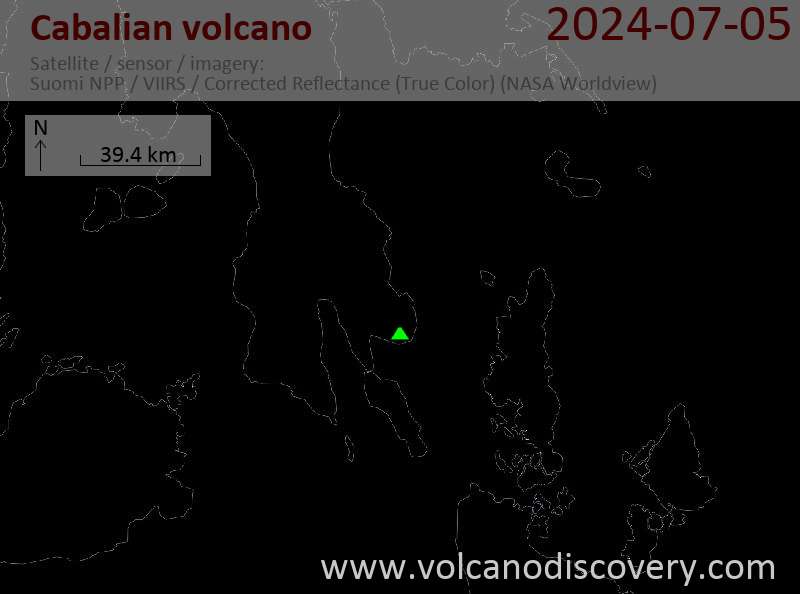
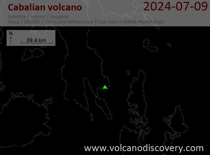
Latest satellite images