What are aftershocks?
Larger earthquakes (above magnitude 5 or so) such as this one are usually followed by smaller ones known as
aftershocks that occur in the same area during the days, weeks, months or even years after the main shock.
[More info]
Aftershocks are typically at least one order of magnitude smaller than the main shock. Their size and frequency decreases with time.
What about this quake?
Based on its magnitude, the fault that was active during the quake likely
ruptured beneath a surface of approx. 126 km2 (=49 sqare miles) as a first-order estimate. The length of the rupture zone thus was probably around 19 km (12 mi).
[More info]
Aftershocks for this quake can be expected to occur during the weeks and months following the quake at or near the same fault, at distances of up to approx. two times the length of the rupture zone, or in this case 39 km (24 mi). The often broadly linear arrangement of aftershock epicenters encompasses the rupture zone of the main shock (
see map below).
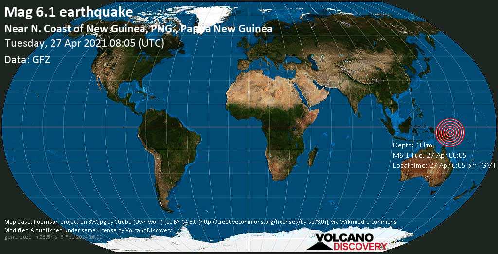
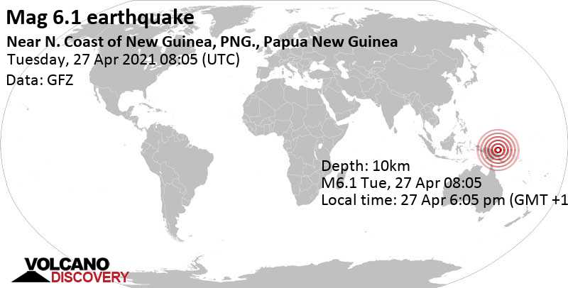
 Papua New Guinea > M6.1 Bismarck Sea, 195 km N of Madang - Apr 27, 2021 08:05 GMT


 28.8°C (84 F), humidity: 69%, wind: 3 m/s (6 kts) from N


