Hibok-Hibok Volcano
Updated: Apr 19, 2024 13:00 GMT -
stratovolcano 1552 m / 5,092 ft
Mindanao (Philippines), 9.2°N / 124.67°E
Current status: normal or dormant (1 out of 5)
Mindanao (Philippines), 9.2°N / 124.67°E
Current status: normal or dormant (1 out of 5)
Hibok-Hibok volcano (also known as Catarman volcano) is the youngest and the only historically active volcano on Camiguin Island, which is located 9 km off the north coast of Mindanao Island, Philippines.
Camiguin island itself is a 292 sq km oblate, 20 km long island composed of 4 overlapping stratovolcanoes and some flank cones.
Eruptions of Hibok-Hibok volcano are often Pelean-type, i.e. dome building and the generation of nuées ardentes (= hot pyroclastic flows generated by partial dome collapse).
Prior to the 1948 eruption, sulfur was mined at the crater of Hibok-Hibok.
Note: A volcanic Island called Camiguin de Babuyanes is located north of Luzon Island.
[smaller] [larger]
Hibok-Hibok volcano eruptions: 1948-53, 1871-75, 1862, 1827
Latest nearby earthquakes
| Time | Mag. / Depth | Distance / Location | |||
Background
Geologic history of Camiguin Island and its volcanoesThe Camiguin volcanoes formed on an NW-SE trend, roughly parallel to the Central Mindanao Arc, with the active vents migrating from SE to NW over time. The earliest eruption center was from Camiguin Tanda volcano, now buried on the floor of the Bohol Sea. Later volcanic activity formed the now eroded Mt Butay and Ginsiliba stratovolcanoes on the SE tip of Camiguin Island, as well as the Binone cinder cone on the SE coast.
Mt. Mambajao volcano in the center forms the highest peak of Camiguin Island. Its fresh-looking shape including a summit and flank lava domes suggests a relatively age, but there are no known historic eruptions. One of its flank domes partially fills a crater breached to the NW.
Young Hibok-Hibok lies in the NW of the island about 6 km NW of Mt. Mambajao. It is andesitic-to-rhyolitic in composition and contains several lava domes, including Mt. Vulcan on its NW flank. Major eruptions during 1871-75 and 1948-53 formed flank lava domes and produced pyroclastic flows that devastated villages at the coast.
Eruptions of Hibok-Hibok volcano
1948-1953 eruption of Hibok-Hibok volcano
A significant eruption started on 1 September 1948. A large explosion from the summit crater of Hibok-Hibok volcano, preceded by a week of intense earthquakes. The explosion created a cauliflower-shaped eruption plume and produced devastating pyroclastic flows and lahars down the NE side of the volcano. 8 suare km land were invaded and destroyed. In May 1949, a new lava dome started to grow in the crater.
The new lava dome continued to grow during the next 2 years dome and had become a prominent feature by late 1951. On 4 December 1951 pyroclastic flows went down the NE flank of the mountain and reached the outskirts of Mambajao town where 500 people were killed.
Large amounts of pumice and ash were found in the deposits, indicating that these pyroclastic flows were generated primarily by the explosion of fresh magma rather than dome collapse.
---
Source: Gordon A. Macdonald and Arturo Alcaraz (1956) "Nuées ardentes of the 1948–1953 eruption of Hibok-Hibok", Bull. Volc, v.18(1), pp 169-178
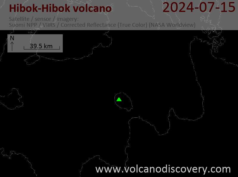
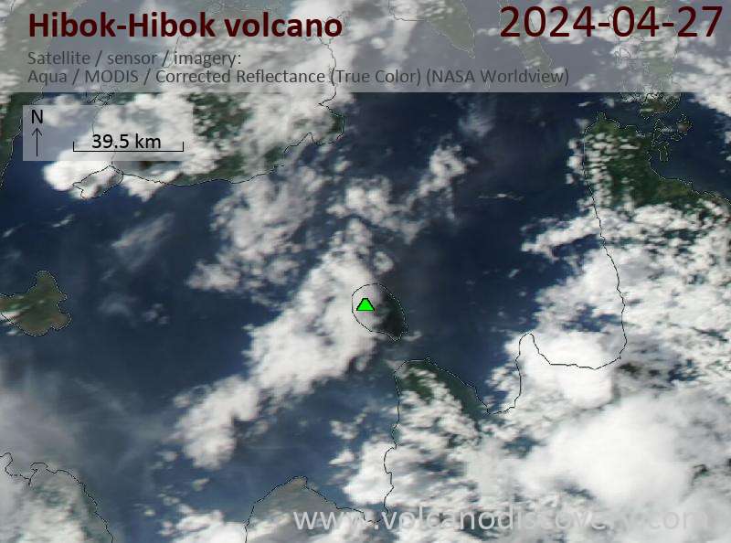
Latest satellite images