Lamington Volcano
Updated: Apr 16, 2024 23:48 GMT -
stratovolcano 1680 m / 5,512 ft
New Guinea (Papua New Guinea), -8.95°S / 148.15°E
Current status: normal or dormant (1 out of 5)
New Guinea (Papua New Guinea), -8.95°S / 148.15°E
Current status: normal or dormant (1 out of 5)
Last update: 9 Dec 2021 (uncertain reports about ash emissions on 25 March)
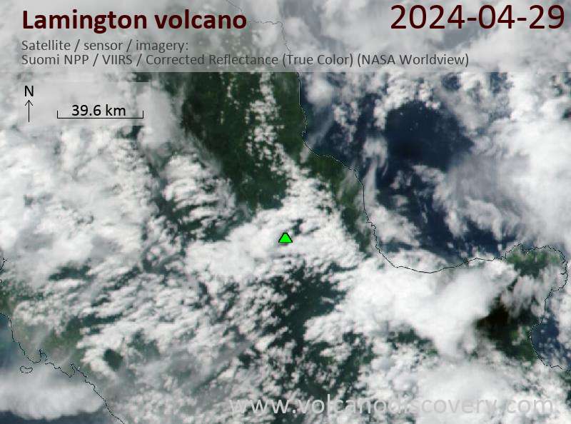
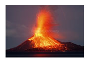
Mt Lamington volcano is a large andesitic stratovolcano within sight of the provincial capital Popondetta north of the Owen Stanley Range. It rises 1680 m above the coastal plain.
The forested Mount Lamington had not been known as a volcano, before it erupted violently in 1951 and caused one of the 20th century's worst volcanic desasters, killing more than 3000 people.
Mount Lamington is one of 4 large Quaternary stratovolcanoes on the north coast of southeastern New Guinea. The other 3 volcanoes are Hydrographers Range, Mount Trafalgar, and Mount Victory volcanoes.
[smaller] [larger]
Lamington volcano eruptions: 1951-1956
Latest nearby earthquakes
| Time | Mag. / Depth | Distance / Location | |||
Background
Lamington volcano contains a 1.3-km-wide breached summit crater with a lava dome complex. Its cone is dissected by radial valleys. A prominent broad valley extending from the breached crater to the north is known as "avalanche valley".2 early Holocene eruptions at Lamington have been identified from ash layers. The catastrophic 1951 eruption seems to have followed a long quiescent interval. Even the local Orakaiva people had no memory about in form of stories of any previous volcanic activity.
Lamington is one of 4 major andesite volcanoes (the others being Mount Victory, Mount Trafalgar and Hydrographers Range) located on a NE-dipping 60 million years old ophiolite (a fragment of ancient oceanic crust), known as the Papuan Ultramafic Belt (PUB). At present, there is no Benioff-Wadati subduction zone beneath the ophiolite sheet.
Magmas erupted from Lamington have unusually high levels of Nickel and Chromium.
Sources:
- Smithsonian / GVP volcano information
- G.A.M. Taylor (1954) "Vulcanological observations mount Lamington 29th May, 1952" Bulletin of Volcanology, Volume 15, Number 1, pp. 81-89
- G.A.M. Taylor (1958 / 2nd ed., 1983) "The 1951 eruption of Mount Lamington, Papua", BMR (Australia) Bulletin 38, Australian Government publishing service, Canberra (ISBN 0 644 01969 7; ISSN 0084-7089).
- Arculus et al (1983) "Ophiolite-contaminated andesites, trachybasalts, and cognate inclusions of Mount Lamington, Papua New Guinea: anhydrite-amphibole-bearing lavas and the 1951 cumulodome", Journal of Volcanology and Geothermal Research, Volume 18, Issues 1-4, Pages 215-247
- Belousov (2011) "Deposits and dynamics of the 1951 pyroclastic density current of Mount Lamington, Papua New Guinea", Geophysical Research Abstracts Vol. 13, EGU2011-9651
Eruptions of Lamington volcano
1951 catastrophic eruption on 21 January
The eruption of Mt Lamington on Sunday 21 January 1951 was the greatest natural disaster on Australian-administered territory of Papua New Guinea. The eruption destroyed the northern half of the mountain and generated a massive pyroclastic surge, which killed more than 3500 people and destroyed dozens of villages. Survivors said "the smoke was seven miles high and the explosion was like an atom bomb or 1,000 block busters going off together" (Sydney Morning Herald, "N.G. DISASTER - DETAILS" 25 Jan 1958).
The administration was heavily accused of having ignored warnings and not reacted fast enough to prevent the scale of the disaster. The Melbourne Argus newspaper writes on its front page on 25 January 1951 "'.. they warned us too late'SAY WOMEN SURVIVORS" and reports some telephone interviews with survivors who felt that they had not been warned and informed in time. Similarly the Sydney Morning Herald's headline read "Delay in official warning criticised".
The strong demand for a public investigation of the tragedy was never granted by the administration. The District Commissioner, Mr. C. F. Cowley (who was killed during the eruption on Sunday) was quoted to have said a few days before the main explosion, "There is no loss of life nor is there any immediate danger." (Sydney Morning Herald, "N.G. DISASTER - DETAILS" 25 Jan 1958). ...more info


