Langila Volcano Volcanic Ash Advisory: VA TO FL080 OBS AT 11/1520Z OBS VA DTG: 11/1520Z to 8000 ft (2400 m)
Sat, 11 Sep 2021, 15:45 | BY: VN
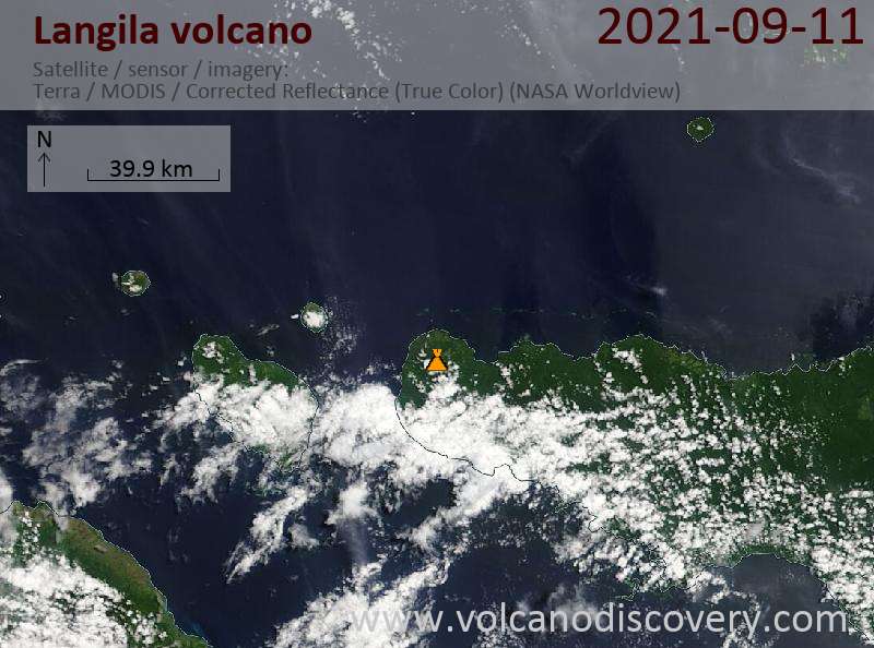
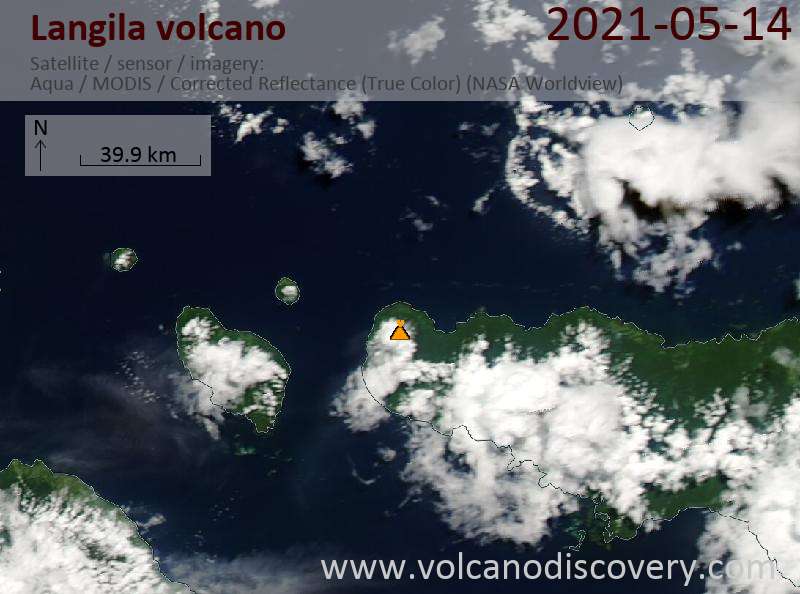
Satellite image of Langila volcano on 11 Sep 2021
The full report is as follows:
FVAU03 at 15:39 UTC, 11/09/21 from ADRM
VA ADVISORY
DTG: 20210911/1540Z
VAAC: DARWIN
VOLCANO: LANGILA 252010
PSN: S0532 E14825
AREA: PAPUA NEW GUINEA
SUMMIT ELEV: 1330M
ADVISORY NR: 2021/25
INFO SOURCE: VOLCAT, HIMAWARI-8
AVIATION COLOUR CODE: ORANGE
ERUPTION DETAILS: VA TO FL080 OBS AT 11/1520Z
OBS VA DTG: 11/1520Z
OBS VA CLD: SFC/FL080 S0529 E14814 - S0530 E14813 - S0530
E14811 - S0528 E14810 - S0526 E14812 - S0527 E14814 MOV NW
15KT
FCST VA CLD +6 HR: 11/2120Z NO VA EXP
FCST VA CLD +12 HR: 12/0320Z NO VA EXP
FCST VA CLD +18 HR: 12/0920Z NO VA EXP
RMK: DISCRETE MINOR VA EMISSION DISCERNIBLE EXT NW AT
11/1520Z. HEIGHT BASED ON OBS MOTION AND MODEL GUIDANCE.
PLUME HEIGHT ESTIMATION BASED ON RECENT BEHAVIOUR. THERMAL
ANOMALY IDENTIFIABLE ON LATEST SATELLITE IMAGERY. VA
EXPECTED TO DISSIPATE WITHIN 6 HOURS.
NXT ADVISORY: NO LATER THAN 20210911/2040Z=
- All news about: Langila volcano
- Information about: Langila volcano
Previous news
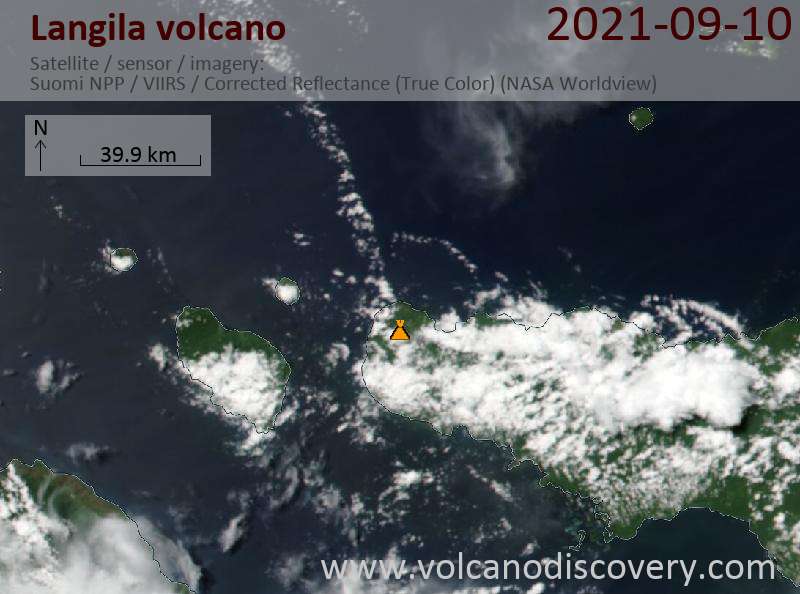
Fri, 10 Sep 2021, 21:00
Langila Volcano Volcanic Ash Advisory: VA TO FL080 OBS AT 10/2030Z OBS VA DTG: 10/2030Z to 8000 ft (2400 m)
Wed, 8 Sep 2021, 06:00
Langila volcano (New Britain, Papua New Guinea) - Smithsonian / USGS Weekly Volcanic Activity Report for 8 September-14 September 2021 (Continuing Activity)
Based on analyses of satellite imagery and wind model data, the Darwin VAAC reported that during 11-12 September ash plumes from Langila rose to 2.1-2.4 km (7,000-8,000 ft) a.s.l. and drifted W. A thermal anomaly at the summit was identified in satellite data. ... Read all
Show more