Langila volcano Volcanic Ash Advisory: VA OBS TO FL100 MOV ESE AT 11/1250Z.
Sun, 11 Nov 2018, 13:30 |
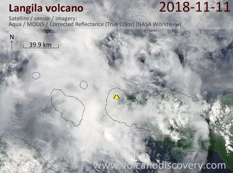
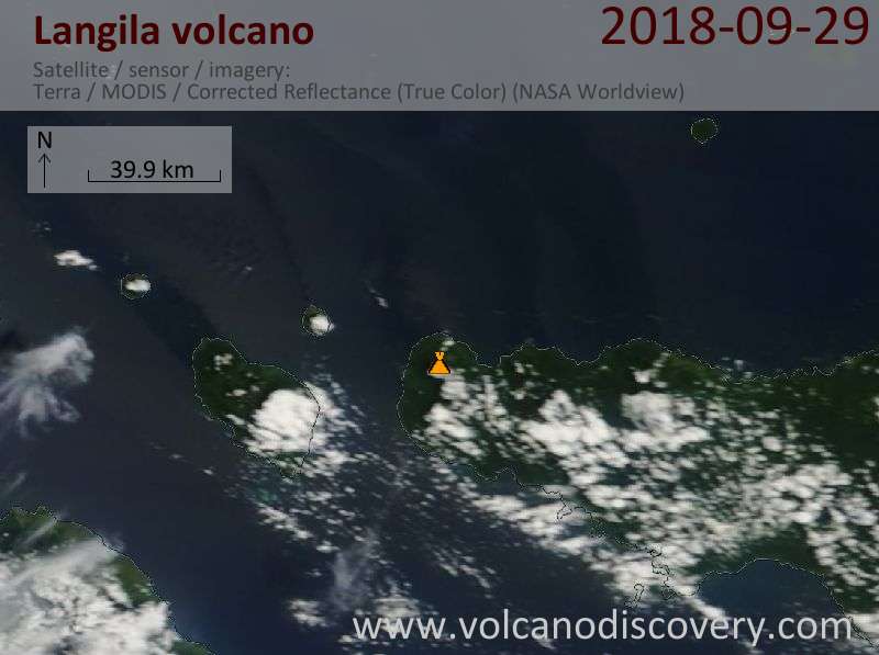
Satellite image of Langila volcano on 11 Nov 2018
FVAU03 at 13:20 UTC, 11/11/18 from ADRM
VA ADVISORY
DTG: 20181111/1320Z
VAAC: DARWIN
VOLCANO: LANGILA 252010
PSN: S0532 E14825
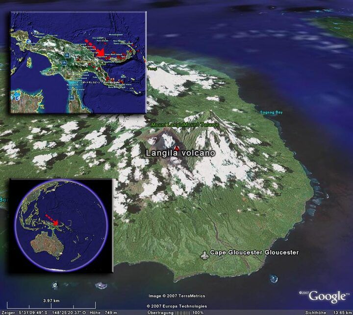
AREA: PAPUA NEW GUINEA
SUMMIT ELEV: 1330M
ADVISORY NR: 2018/45
INFO SOURCE: HIMAWARI-8
AVIATION COLOUR CODE: ORANGE
ERUPTION DETAILS: VA OBS TO FL100 MOV ESE AT 11/1250Z.
OBS VA DTG: 11/1320Z
OBS VA CLD: SFC/FL100 S0532 E14823 - S0530 E14826 - S0528
E14830 - S0533 E14845 - S0540 E14840 - S0537 E14829 MOV SE
10KT
FCST VA CLD +6 HR: 11/1920Z SFC/FL100 S0551 E14907 - S0527
E14912 - S0517 E14956 - S0601 E14954
FCST VA CLD +12 HR: 12/0120Z NO VA EXP
FCST VA CLD +18 HR: 12/0720Z NO VA EXP
RMK: DISCRETE ERUPTION OBSERVED ON RGB SATELLITE IMAGERY;
CURRENTLY PARTLY OBSCURED BY MET CLOUD. HEIGHT AND FORECAST
BASED ON OBS PLUME MOVEMENT AND MODEL GUIDANCE. ERUPTION
APPEARS TO BE DISCRETE. VA EXPECTED TO MOV TO E AND
DISSIPATE WITHIN 6-12 HOURS.
NXT ADVISORY: NO LATER THAN 20181111/1920Z
- All news about: Langila volcano
- Information about: Langila volcano
Previous news
Mon, 29 Oct 2018, 23:00
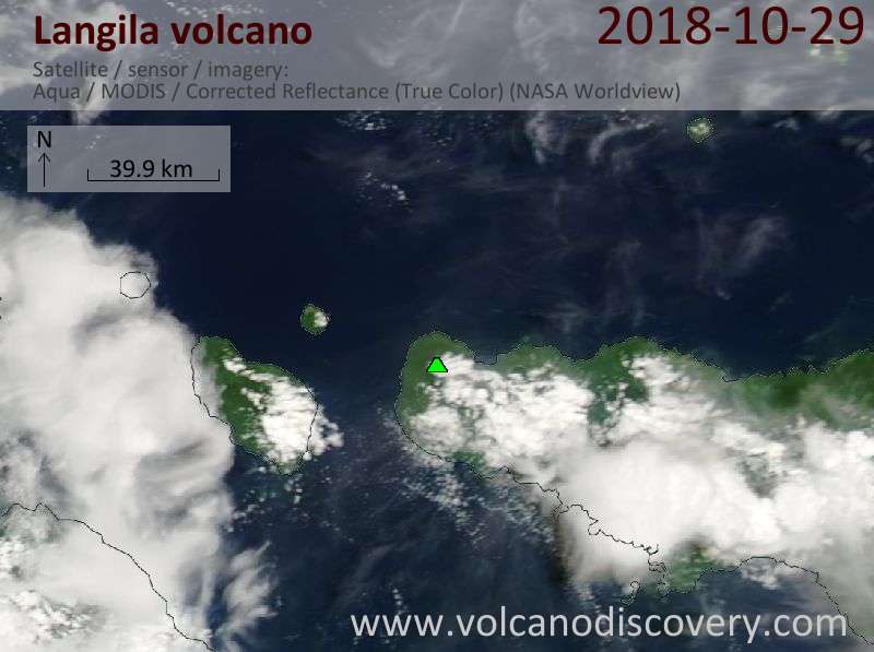
Langila volcano Volcanic Ash Advisory: VA OBS TO FL090 MOV TO SE AT 29/2220Z.
Wed, 24 Oct 2018, 06:00
Langila volcano (New Britain, Papua New Guinea) - Smithsonian / USGS Weekly Volcanic Activity Report for 24 October-30 October 2018 (New Activity / Unrest)
Based on analyses of satellite imagery and wind-model data, the Darwin VAAC reported that on 30 October an ash plume from Langila rose to an altitude of 2.7 km (9,000 ft) a.s.l. and drifted SE. ... Read all
Show more