Maca Volcano
Updated: Apr 18, 2024 21:44 GMT -
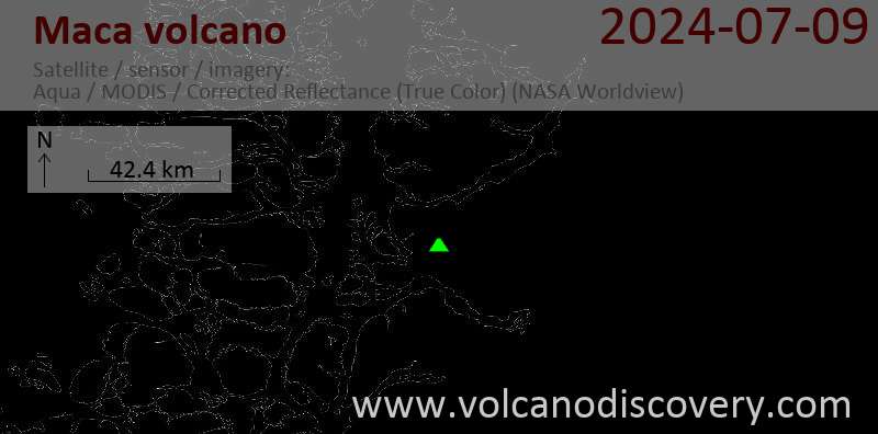
stratovolcano 2960 m / 9,711 ft
Southern Chile and Argentina (South America), -45.1°S / -73.17°W
Current status: normal or dormant (1 out of 5)
Southern Chile and Argentina (South America), -45.1°S / -73.17°W
Current status: normal or dormant (1 out of 5)
Volcán Macá is a large glaciated active stratovolcano in the southernmost part of the South Andean Volcanic Zone, Chile, NW of Puerto Aisén. It is the highest volcano between Lanín and Lautaro volcanoes.
Along with Cay and Hudson volcanoes, Maca is one of the central volcanoes on the axis of the Andean volcanic arc. Maca volcano is located 230 km east of the Chile trench where the oceanic Nazca Plate starts to be subducted into the mantle underneath the South America Plate.
There are no historic eruptions, but young tephra layers have been found that indicate that the volcano is only dormant.
[smaller] [larger]
Maca volcano eruptions: 410 AD ± 50 years
Latest nearby earthquakes
| Time | Mag. / Depth | Distance / Location | |||
Background
Macá is basaltic-to-dacitic in composition and built inside an older caldera. It contains a summit lava dome, 5 flank cinder cones and several lava domes along a NE-trending fissure that extends 15 km down from the summit. The volcano's summit has a steep-sided crater open toward the SSE, which probably was caused by a flank failure. The southernmost cones were formed underwater, and contain hyaloclastite.The volcano lies on the regional Liquiñe-Ofqui fault zone and located at the NW end of a NW–SE-trending 10 km long and 3 km wide volcanic ridge, forming a topographic high of 1500–1700 m.
---
Sources:
- GVP volcano information
- D'Orazio et al (2003) "The Quaternary calc-alkaline volcanism of the Patagonian Andes close to the Chile triple junction: geochemistry and petrogenesis of volcanic rocks from the Cay and Maca volcanoes (~45.8°S, Chile)", Journal of South American Earth Sciences, Volume 16, Issue 4, Pages 219-242
Eruptions of Maca volcano
2007 earthquakes
A series of earthquakes occurred below the Aisén Fjord 20 km south of the volcano, with 7000 earthquakes recorded between 22 January and early May 2007. The largest earthquake was magnitude 6.2 on 23 April 2007 along the major Liquiñe-Ofqui Fault. It has been suggested that the earthquake swarm was triggered the eruption of Chaiten volcano 250 km further north in May 2008, in a similar way as it might have triggered the 1960 eruption of Cordón Caulle soon after the Great Chilean Earthquake on 22 May 1960.
---
Source:
Lange et al (2008) "First seismic record for intra-arc strike-slip tectonics along the Liquiñe-Ofqui fault zone at the obliquely convergent plate margin of the southern Andes", Tectonophysics, v. 455 (1-4): 14
Latest satellite images