May-ya-moto Volcano
Updated: Apr 24, 2024 23:06 GMT -
Fumarole field 950 m / 3,117 ft
DR Congo, -0.93°S / 29.33°E
Current status: normal or dormant (1 out of 5)
DR Congo, -0.93°S / 29.33°E
Current status: normal or dormant (1 out of 5)
[smaller] [larger]
May-ya-moto volcano eruptions: unknown, no recent eruptions
Latest nearby earthquakes
| Time | Mag. / Depth | Distance / Location | |||
Background
May-ya-moto, also known as Maji ja moto, is an isolated hydrothermal field in the Albert National Park south of Lake Edward. The thermal area is located at an altitude of 950 m in the eastern part of the Democratic Republic of Congo NW of the Virunga Mountains about 38 km north of the town of Rutschuru. The May-ya-moto thermal area contains fumaroles and hot springs with temperatures of less than 100 degrees Centigrade. Although the age of volcanic activity was not stated, May-ya-moto was included in the Catalog of Active Volcanoes of the World (Richard and Neumann van Padang, 1957) based on its thermal activity.---
Smithsonian / GVP volcano information
May-ya-moto Volcano Photos
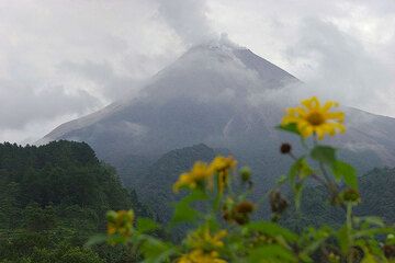
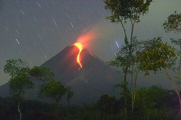
Merapi seen from the SE side on May 21. (Photo: Tom Pfeiffer)
The eruption of Merapi seen from Tunggularum (24 May 2006).
(Photo: Tom Pfeiffer)
(Photo: Tom Pfeiffer)
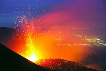
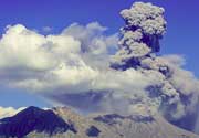
Powerful strombolian eruption from the active vent (May 23, 2008). (Photo: Tom Pfeiffer)
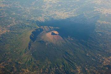
Vesuvius volcano near Naples, Italy, seen from the air. The rim of the remnant of the older Somma volcano which collapsed in the 79 AD Plinian eruption is clearly visible...
Latest satellite images