Nantai Volcano
Updated: Apr 20, 2024 05:22 GMT -
stratovolcano 2486 m / 8,156 ft
Honshu (Japan), 36.76°N / 139.49°E
Current status: normal or dormant (1 out of 5)
Honshu (Japan), 36.76°N / 139.49°E
Current status: normal or dormant (1 out of 5)
Nantai (or Nantaisan) stratovolcano is located north of Lake Chuzenji in Nikko National Park, Honshu, and close to the famous temple complex at Nikko.
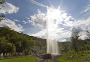
Lake Chuzenji was formed by eruptions of Nantai volcano which produced lava flows that blocked the Daiya River. The dramatic Kegon waterfall plunges over this natural barrier.
Recently, it has been discovered, that the youngest activity of Nantai volcano was only about 7000 years ago, when a phreatomagmatic eruption occurred in the summit crater. The new date was made by C14 dating of charred wood found in the corresponding explosion deposit.
This means that Nantai volcano needs to be classified as active, and is a potential hazard to the many tourist areas nearby.
[smaller] [larger]
Nantai volcano eruptions: around 7,000 years ago (Yudonoyama Tephra)
12-13,000 years ago (Bentengawara pyroclastic-flow deposit)
Latest nearby earthquakes
| Time | Mag. / Depth | Distance / Location | |||
Background
Nantai volcano has an asymmetrical profile when viewed from the west. This is the result of late-stage collapse of the north side of the volcano. 2 major late-stage eruptions ejected large amounts of scoriae, followed by the emission of pyroclastic flows.The latest effusive activity of Nantai produced the Osawa lava flow, a thick, viscous dacitic flow that traveled from the breached crater down the north flank.
Until recently (and still as such in the GVP database), the Bentengawara pyroclastic-flow deposit has been thought to represent the latest known eruptive activity was radiocarbon dated at about 10,000 years BP, following a quiescent period of about 3000 years.
Recently, it has been discovered that there was activity about 7000 years ago as well:
After the 15-14 cal ka BP eruption, the summit crater was filled by a lake in which a water-chilled volcanic and tuff breccias and the overlying lacustrine deposit were emplaced. The 14C age of ∼ 8 cal ka BP obtained from a wood fragment ... defines the initiation of the deposition of NLD1 in the crater lake. The crater lake dried up before 7 cal ka BP, following which a phreatomagmatic eruption occurred in the summit cater, forming Nantai-Yudonoyama Tephra (NYT). NYT is the latest recognized eruption product of Nantai volcano, and it underlies the second lacustrine deposit (Nantai Lacustrine Deposit 2) formed in the renewed crater lake. The young age of 7 cal ka BP obtained from the two charred wood stumps in NYT highlights that Nantai is an active volcano.
Source:
Yasuo ISHIZAKI, Teruki OIKAWA and Yuko OKAMURA: “AMS 14C dating of lacustrine and pyroclastic deposits in summit crater of Nantai volcano, NE Japan: Evidence of Holocene eruption”. Journal of Mineralogical and Petrological Sciences, Vol. 105, 215-227 (2010)
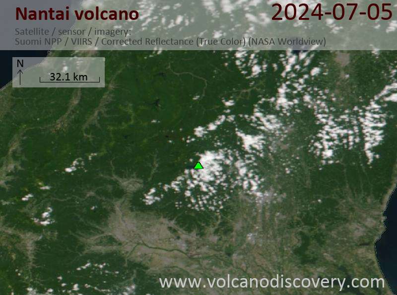
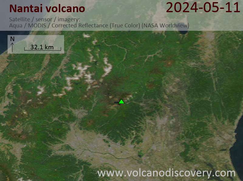
Latest satellite images