Contact | RSS | EN | DE | EL | ES | FR | IT | RU

Oshima-Oshima Volcano

Updated: Apr 23, 2024 11:56 GMT -
stratovolcano 737 m / 2,418 ft
Hokkaido (Japan), 41.51°N / 139.37°E
Current status: normal or dormant (1 out of 5)

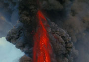
Oshima-Oshima volcano (渡島大島 in Japanese) forms a small uninhabited 4 km wide island in the Japan Sea island 55 km west of the SW tip of Hokkaido in northern Japan. Oshima-Oshima's eruption in 1741 caused a tsunami that killed almost 1500 people.

[smaller] [larger]
Typical eruption style: Explosive
Oshima-Oshima volcano eruptions: 1790, 1786(?), 1759, 1741-42

Latest nearby earthquakes

No recent earthquakes
TimeMag. / DepthDistance / Location

Background

Oshima-Oshima is the small emergent summit of two overlapping basaltic-to-andesitic stratovolcanoes: Higashi-yama at the east end of the island is cut by a 2-km-wide caldera covered on its west side by Nishi-yama volcano.
The western cone partially collapsed during an eruption in 1741, creating a large horseshoe-shaped caldera breached to the north and extending from the summit down to the sea floor at the base of the volcano. This event produced a mostly submarine debris avalanche that traveled 16 km distance, and triggered a large tsunami. The tsunami devastated the coasts of Hokkaido, western Honshu, and as far as Korea, causing nearly 1500 fatalities.
The 1741 eruption was the largest in historical time at Oshima-Oshima and ended with the construction of a basaltic cinder cone at the head of the breached caldera. No eruptions have occurred since the last eruption in 1790, but seismic unrest under the volcano occurred in 1996.

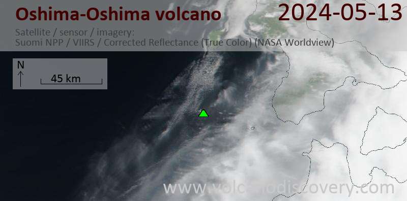
Latest satellite images

OshimaOshima satellite image sat1OshimaOshima satellite image sat2

On this page:

Try our free app!
Volcanoes & Earthquakes - new app for Android
Android | iOS version

More on VolcanoDiscovery

Why is there advertising on this site?

Support us - Help us upgrade our services!

We truly love working to bring you the latest volcano and earthquake data from around the world. Maintaining our website and our free apps does require, however, considerable time and resources.
We need financing to increase hard- and software capacity as well as support our editor team. We're aiming to achieve uninterrupted service wherever an earthquake or volcano eruption unfolds, and your donations can make it happen! Every donation will be highly appreciated. If you find the information useful and would like to support our team in integrating further features, write great content, and in upgrading our soft- and hardware, please make a donation (PayPal or Online credit card payment).

Planned features:Thanks to your past donations, these features have been added recently:
Download and Upgrade the Volcanoes & Earthquakes app to get one of the fastest seismic and volcano alerts online:
Android | IOS
Thank you!
Sources: VolcanoDiscovery / VolcanoAdventures and other sources as noted.
Use of material: Most text and images on our websites are owned by us. Re-use is generally not permitted without authorization. Contact us for licensing rights.
Volcanoes & Earthquakes
VolcanoDiscovery Home
Volcanoes | Earthquakes | Photos | Volcano News | App
Adventure & Study Travel
Tours to Volcanoes and Volcanic Areas: walking tours, photo tours, study tours
Tours & Dates | FAQ | About us
Get our newsletter!
Company info
Contact | Legal info | Terms & conditions
Follow us
Follow us on facebook Follow us on Instagram Follow us on Twitter Visit our Youtube channel
EN | DE | EL | ES | FR | IT | RU
VolcanoDiscovery GmbH, Germany, Reg. nr.: HRB 103744, EU Tax Id: DE 297 465 123 owned and created by
Dr. Tom Pfeiffer, volcanologist, volcano photographer, tour organizer member of
IAVCEI
IAVCEI
Vulkanologische Gesellschaft
Volcanological Society
Ecotourism Greece
Ecotourism Greece
RUV insurance
Insured by R+V
VolcanoDiscovery © 2004- All Rights Reserved | Privacy - Cookie Settings