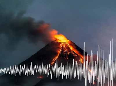
Latest quakes in or near Maluku Sea, Indonesia - list, stats and map
| Latest See all | Mag. 4.2 earthquake Maluku Sea - North Maluku, Indonesia - |
| Strongest since 2024 | Mag. 6.5 Maluku Sea - 122 km south of Pulau Kaburuang Island, Indonesia - Apr 9, 2024 - |
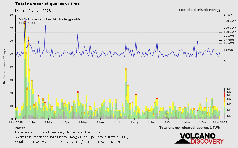
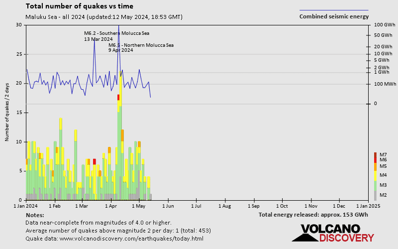
- 2 quakes above magnitude 6
- 9 quakes between magnitude 5 and 6
- 115 quakes between magnitude 4 and 5
- 274 quakes between magnitude 3 and 4
- 49 quakes between magnitude 2 and 3
Date and Time | Mag Depth | Nearest Volcano | Location | Details | Map |
|---|---|---|---|---|---|
| May 11, 12:16 am (GMT +9) | 4.2 3 km | Info | |||
| Tuesday, May 7, 2024 GMT (1 quake) | |||||
| May 8, 08:38 am (GMT +9) | 4.1 13 km | Info | |||
| Monday, May 6, 2024 GMT (3 quakes) | |||||
| May 7, 05:38 am (GMT +8) | 2.4 1 km | Info | |||
| May 7, 06:02 am (Jayapura) | 3.1 8 km | Info | |||
| May 6, 11:02 am (Jayapura) | 3.9 214 km | Info | |||
| Sunday, May 5, 2024 GMT (1 quake) | |||||
| May 6, 02:05 am (Makassar) | 3.5 229 km | Info | |||
| Saturday, May 4, 2024 GMT (6 quakes) | |||||
| May 5, 05:05 am (GMT +8) | 3.3 10 km | Info | |||
| May 5, 02:48 am (GMT +8) | 4.1 33 km | Info | |||
| May 5, 02:22 am (GMT +8) | 3.0 14 km | Info | |||
| May 4, 11:16 pm (Makassar) | 3.2 76 km | Info | |||
| May 4, 06:14 pm (Makassar) | 3.7 198 km | Info | |||
Maluku Sea Quake-O-Meter
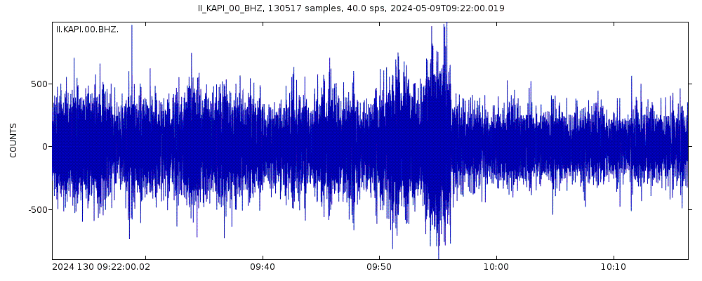
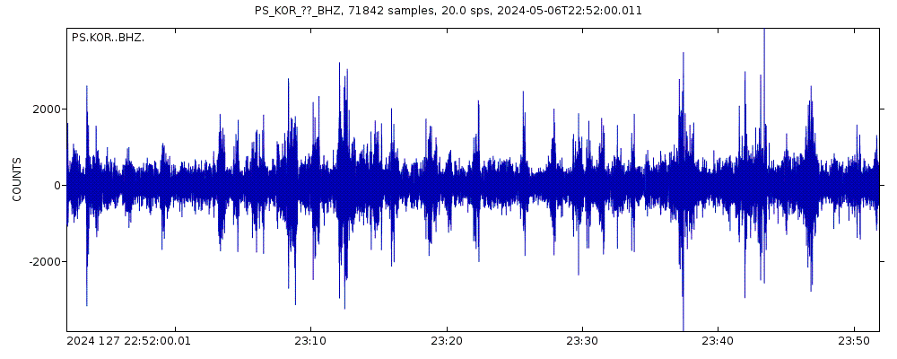
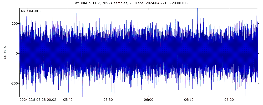
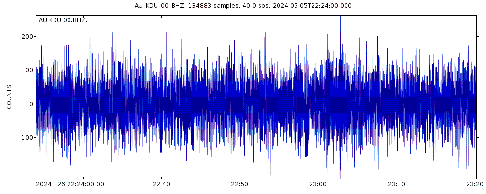
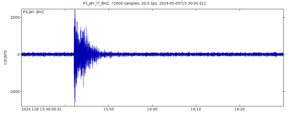
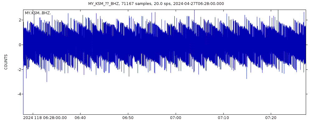
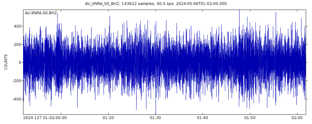
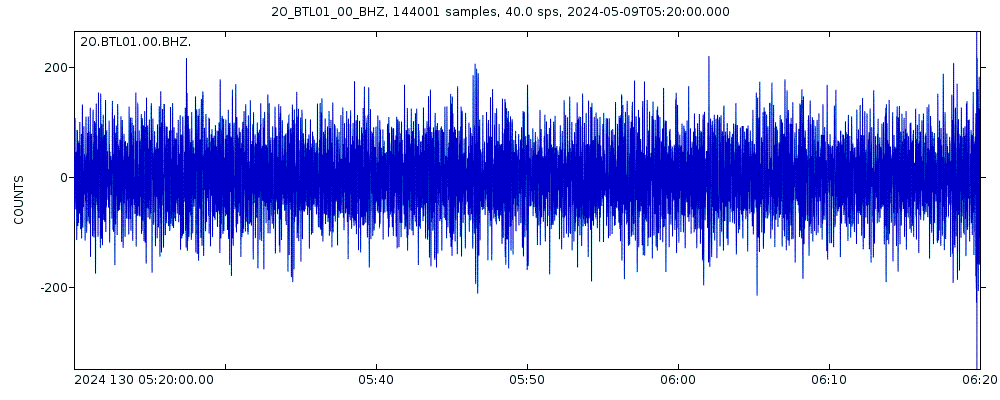
Latest seismic signals


Earthquake Catalog - Look up past earthquakes
| or | ||
Look up quakes! | ||
Earthquake statistics
Average number of earthquakes
- Mag. 7 or higher: 0.23 quakes per year (or 1 quake every 4.3 years)
- Mag. 6 or higher: 2.4 quakes per year
- Mag. 5 or higher: 45 quakes per year (or 3.8 quakes per month)
- Mag. 4 or higher: 515 quakes per year (or 43 quakes per month)
- Mag. 3 or higher: 1,300 quakes per year (or 3.6 quakes per day)
- Mag. 2 or higher: 1,500 quakes per year (or 4 quakes per day)
Number of earthquakes over time
Maluku Sea Earthquake FAQ
+How frequent are earthquakes in or near Maluku Sea, Indonesia?
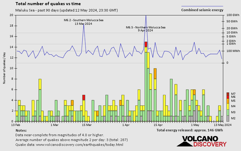
Maluku Sea has a very high level of seismic activity. Based on data from the past 14 years and our earthquake archive back to 1900, there are about 1,500 quakes on average per year in or near Maluku Sea, Indonesia. Maluku Sea has had at least 28 quakes above magnitude 7 since 1900, which suggests that larger earthquakes of this size occur infrequently, probably on average approximately every 1 to 5 years.
+How many earthquakes occur every year in or near Maluku Sea, Indonesia?
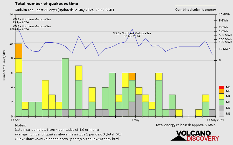
On average, Maluku Sea has about 1,300 quakes of magnitude 3 or higher per year (Mag 4+: 515 quakes per year, Mag 5+: 45 quakes per year, Mag 6+: 2.4 quakes per year).
+When was the latest earthquake in Maluku Sea?
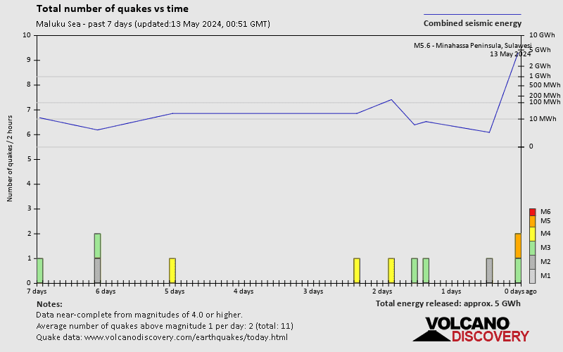
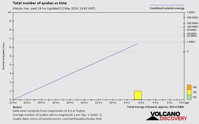
The last earthquake in Maluku Sea occurred 11 hours ago and had a magnitude of 4.2:
A moderate magnitude 4.2 earthquake occurred in the Maluku Sea near the coast of ![]() Indonesia shortly after midnight, on Saturday, May 11, 2024 at 12.16 am local time (GMT +9). The quake had a very shallow depth of 3 km (1.9 mi) and was reported felt by some people near the epicenter.
Indonesia shortly after midnight, on Saturday, May 11, 2024 at 12.16 am local time (GMT +9). The quake had a very shallow depth of 3 km (1.9 mi) and was reported felt by some people near the epicenter.
+How many quakes were there in Maluku Sea since 2024?
Since 2024, Maluku Sea has been shaken by 2 quakes of magnitude 6.0 or above, 9 quakes between 5.0 and 6.0, 115 quakes between 4.0 and 5.0, 274 quakes between 3.0 and 4.0, and 49 quakes between 2.0 and 3.0.
+What was the strongest quake in Maluku Sea since 2024?
The strongest earthquake in Maluku Sea since 2024 had a magnitude of 6.5 and occurred 5 weeks ago:
A very strong magnitude 6.5 earthquake occurred in the Maluku Sea near the coast of North Maluku, ![]() Indonesia, in the late afternoon of Tuesday, Apr 9, 2024 at 6.48 pm local time (GMT +9). The quake had a very shallow depth of 10 km (6 mi) and was felt by many near the epicenter.
Indonesia, in the late afternoon of Tuesday, Apr 9, 2024 at 6.48 pm local time (GMT +9). The quake had a very shallow depth of 10 km (6 mi) and was felt by many near the epicenter.
Embed or share standalone map
You can use the standalone version of our interactive earthquake map or embed it on your website:Largest Quakes in or near Maluku Sea, Indonesia
Date and Time | Mag Depth | ###DIST_LABEL### | Location | Details | Map |
|---|