


Latest quakes in or near Mazatlan, Sinaloa, Mexico - list, stats and map
| Latest See all | Mag. 3.2 earthquake 18 km north of San Miguel de Cruces - Durango, Mexico - Mar 20, 2024 - |
| Strongest since 1970 | Mag. 5.3 North Pacific Ocean - Sinaloa, Mexico - Dec 8, 1982 - |
- 0 quakes above magnitude 5
- 2 quakes between magnitude 4 and 5
- 5 quakes between magnitude 3 and 4
Date and Time | Mag Depth | Nearest Volcano | Location | Details | Map |
|---|---|---|---|---|---|
| Mar 20, 12:47 am (Monterrey) | 3.2 10 km | 80 km (50 mi) to the N | Info | ||
| Tuesday, July 25, 2023 GMT (1 quake) | |||||
| Jul 25, 2023 03:21 am (Monterrey) | 3.8 15 km | 87 km (54 mi) to the N | Info | ||
| Sunday, February 19, 2023 GMT (1 quake) | |||||
| Feb 19, 2023 06:39 am (GMT -7) | 4.1 17 km | 82 km (51 mi) to the S | Info | ||
| Friday, March 11, 2022 GMT (1 quake) | |||||
| Mar 10, 2022 11:54 pm (Mazatlan) | 3.7 5 km | 97 km (60 mi) to the NW | Info | ||
| Saturday, January 9, 2021 GMT (2 quakes) | |||||
| Jan 9, 2021 04:20 pm (Mazatlan) | 3.8 10 km | 27 km (17 mi) to the SE | Info | ||
| Jan 9, 2021 03:25 pm (GMT -7) | 4.0 10 km | 46 km (29 mi) to the S | Info | ||
| Thursday, March 26, 2020 GMT (1 quake) | |||||
| Mar 26, 2020 01:03 am (Monterrey) | 4.2 5 km | 45 km (28 mi) to the N | Info | ||
| Friday, July 5, 2019 GMT (1 quake) | |||||
| Jul 4, 2019 09:08 pm (Mazatlan) | 3.8 5 km | Info | |||
| Saturday, November 3, 2018 GMT (1 quake) | |||||
| Nov 3, 2018 03:31 am (Mazatlan) | 3.8 5 km | 53 km (33 mi) to the N | Info | ||
| Thursday, April 19, 2018 GMT (1 quake) | |||||
| Apr 19, 2018 12:33 am (Mazatlan) | 3.9 5 km | 11 km (6.8 mi) to the S | Info | ||
| Sunday, December 4, 2016 GMT (1 quake) | |||||
| Dec 4, 2016 12:43 am (Mazatlan) | 3.8 10 km | 100 km (62 mi) to the N | Info | ||
Mazatlan Quake-O-Meter
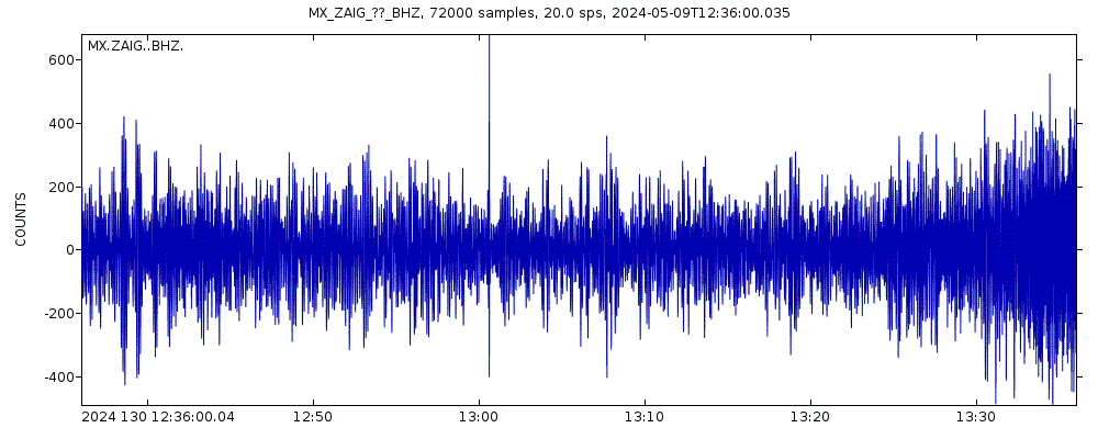
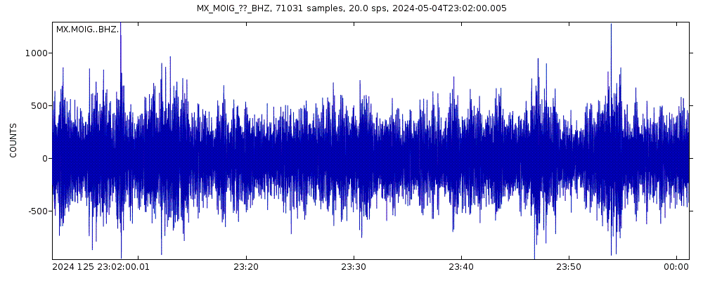
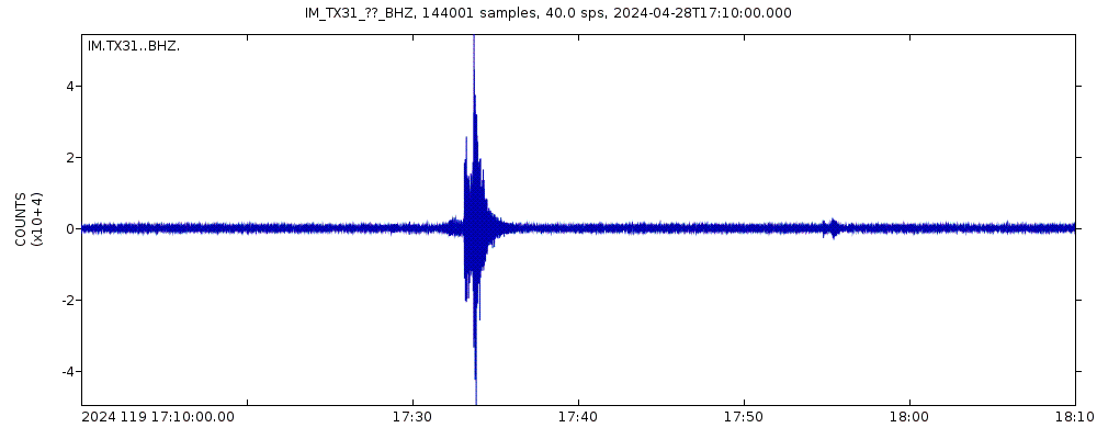
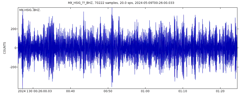
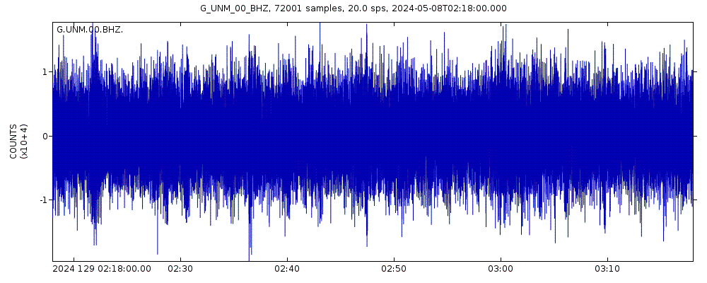
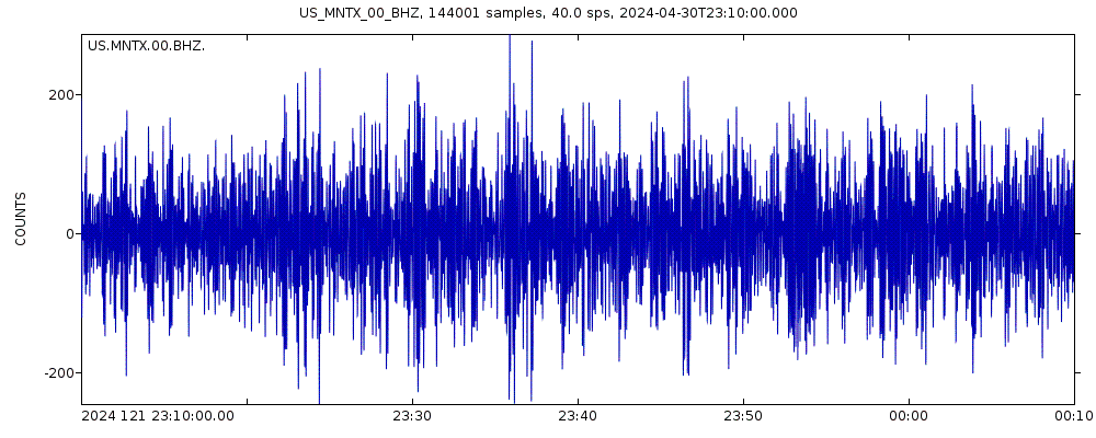
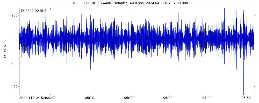
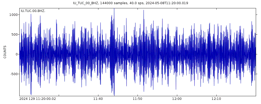
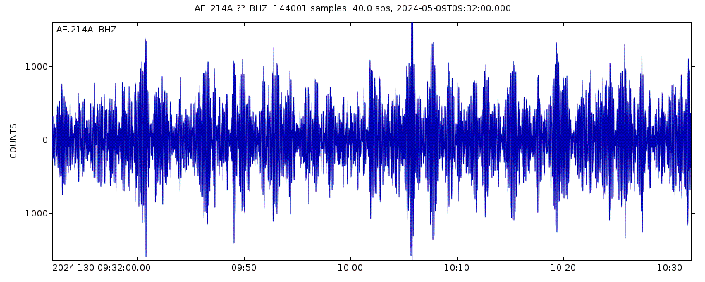
Latest seismic signals

Earthquake Catalog - Look up past earthquakes
| or | ||
Look up quakes! | ||
Earthquake statistics
Average number of earthquakes
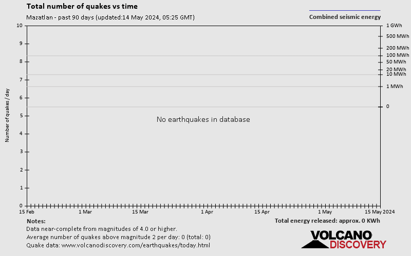
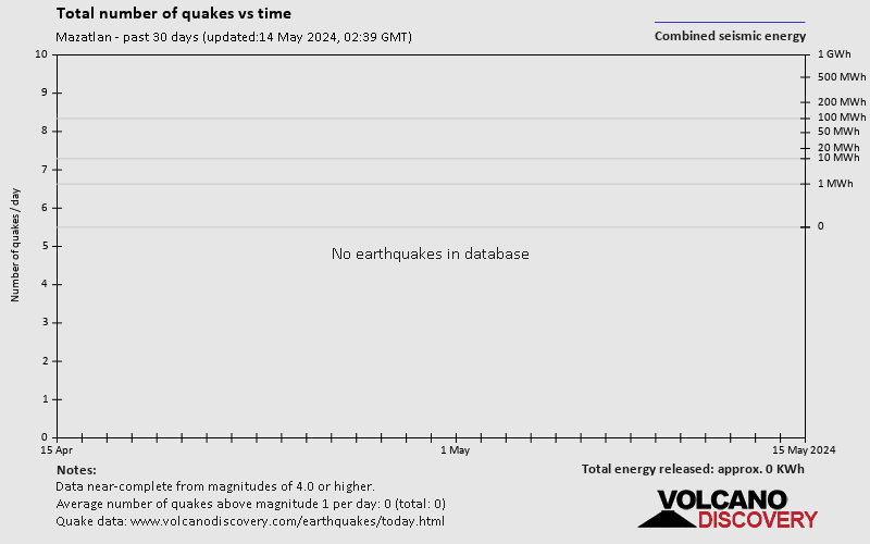
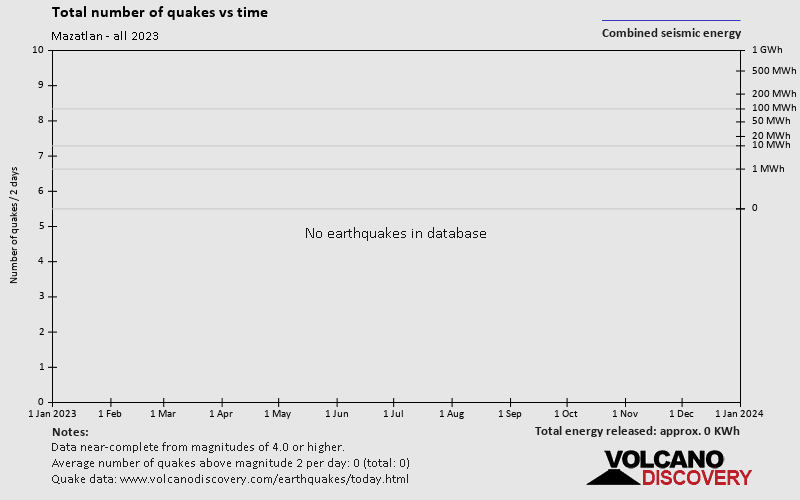
Number of earthquakes over time


Mazatlan Earthquake FAQ
+When was the latest earthquake in Mazatlan?
The last earthquake in Mazatlan occurred 5 weeks ago and had a magnitude of 3.2:
A light magnitude 3.2 earthquake hit 17.6 km (11 mi) away from San Miguel de Cruces, Durango, ![]() Mexico, in the early morning of Wednesday, Mar 20, 2024 at 12.47 am local time (America/Monterrey GMT -6). The quake had a very shallow depth of 10 km (6 mi) and was not felt (or at least not reported so).
Mexico, in the early morning of Wednesday, Mar 20, 2024 at 12.47 am local time (America/Monterrey GMT -6). The quake had a very shallow depth of 10 km (6 mi) and was not felt (or at least not reported so).
+How many quakes were there in Mazatlan since 1970?
Since 1970, Mazatlan has had 0 quakes of magnitude 5.0 or above, 2 quakes between 4.0 and 5.0, and 5 quakes between 3.0 and 4.0.
+What was the strongest quake in Mazatlan since 1970?
The strongest earthquake in Mazatlan since 1970 had a magnitude of 5.3 and occurred 41 years ago:
A strong magnitude 5.3 earthquake occurred in the North Pacific Ocean near the coast of ![]() Mexico in the early morning of Wednesday, Dec 8, 1982 at 6.02 am local time (GMT -7). The quake had a very shallow depth of 10 km (6 mi) .
Mexico in the early morning of Wednesday, Dec 8, 1982 at 6.02 am local time (GMT -7). The quake had a very shallow depth of 10 km (6 mi) .
Embed or share standalone map
You can use the standalone version of our interactive earthquake map or embed it on your website:Largest Quakes in or near Mazatlan, Sinaloa, Mexico
Date and Time | Mag Depth | ###DIST_LABEL### | Location | Details | Map |
|---|


