


Latest quakes in or near Yamanashi, Japan - list, stats and map
| Latest See all | Mag. 3.0 earthquake 31 km north of Hamakita - Shizuoka, Japan - |
| Latest felt | Mag. 3.2 earthquake 3.6 km northeast of Ushiku - Ibaraki, Japan - |
| Strongest past 30 days | Mag. 5.1 North Pacific Ocean - Ibaraki, Japan - Apr 24, 2024 - |
- 0 quakes above magnitude 5
- 1 quake between magnitude 4 and 5
- 6 quakes between magnitude 3 and 4
- 5 quakes between magnitude 2 and 3
Date and Time | Mag Depth | Nearest Volcano | Location | Details | Map |
|---|---|---|---|---|---|
| May 3, 06:51 am (GMT +9) | 3.0 24 km | 45 km (28 mi) to the SW | Info | ||
| May 2, 05:53 pm (GMT +9) | 3.2 62 km | 100 km (62 mi) to the E | Info | ||
| May 2, 12:45 pm (GMT +9) | 2.5 69 km | 97 km (60 mi) to the NE | Info | ||
| Wednesday, May 1, 2024 GMT (1 quake) | |||||
| May 2, 02:27 am (GMT +9) | 2.5 9.4 km | 64 km (40 mi) to the NW | Info | ||
| Tuesday, April 30, 2024 GMT (2 quakes) | |||||
| Apr 30, 08:40 pm (GMT +9) | 3.1 9.3 km | 64 km (40 mi) to the NW | Info | ||
| Apr 30, 07:38 pm (GMT +9) | 3.0 99 km | 50 km (31 mi) to the NE | Info | ||
| Monday, April 29, 2024 GMT (3 quakes) | |||||
| Apr 30, 01:15 am (GMT +9) | 3.0 13 km | 4 km (2.5 mi) to the S | Info | ||
| Apr 30, 01:14 am (GMT +9) | 3.7 9 km | 64 km (40 mi) to the NW | Info | ||
| Apr 29, 04:15 pm (GMT +9) | 2.5 51 km | 83 km (52 mi) to the NE | Info | ||
| Sunday, April 28, 2024 GMT (2 quakes) | |||||
| Apr 28, 08:53 pm (GMT +9) | 3.5 119 km | 60 km (37 mi) to the E | Info | ||
| Apr 28, 07:29 pm (GMT +9) | 3.0 89 km | 43 km (27 mi) to the NE | Info | ||
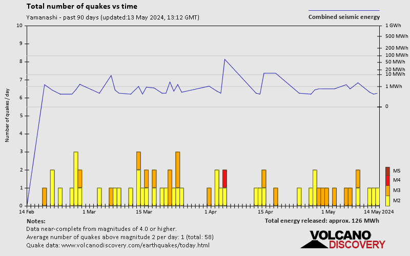
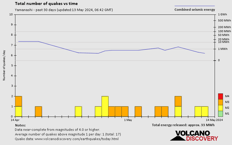
Yamanashi Quake-O-Meter
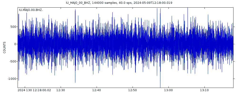
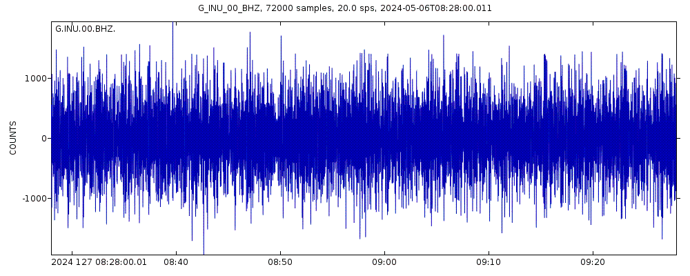
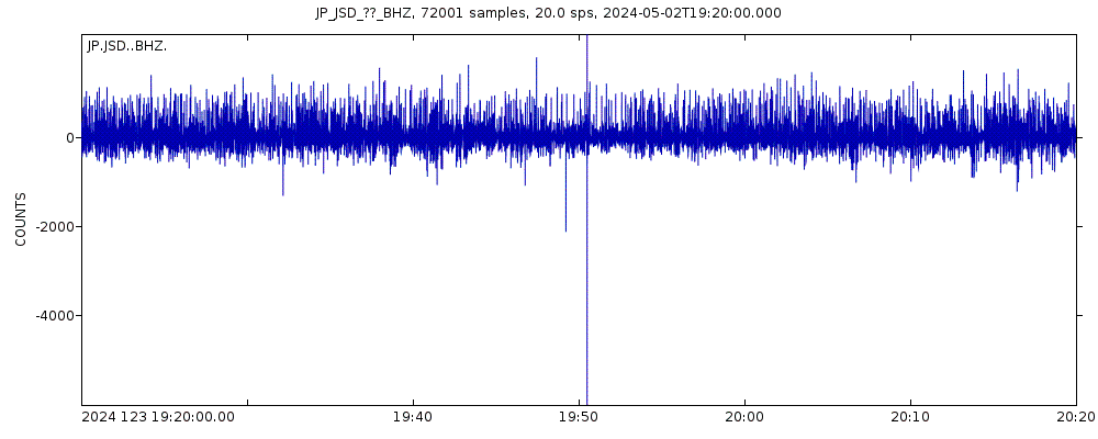
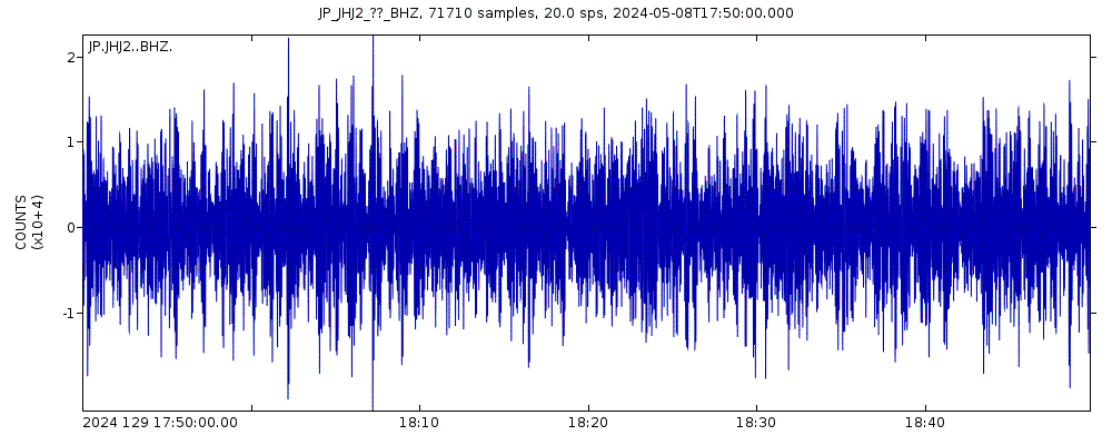
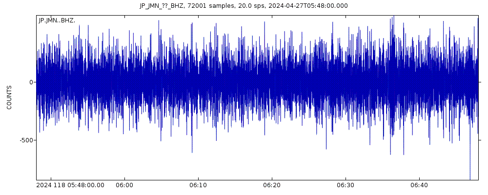
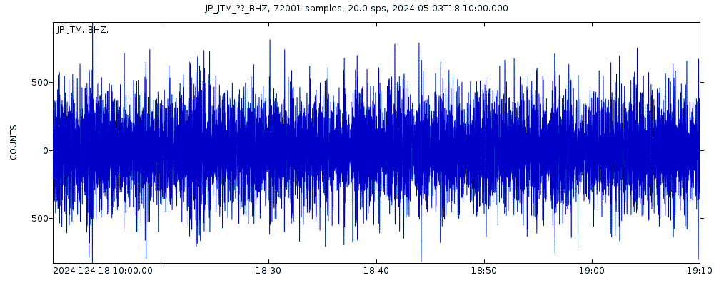
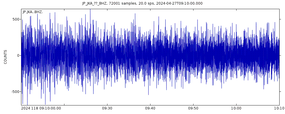
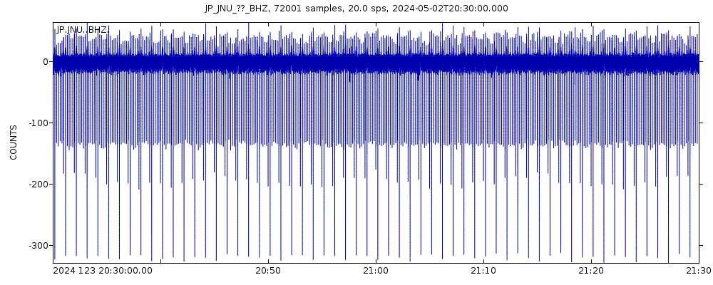
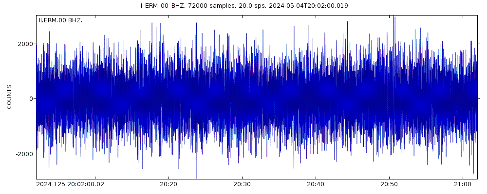
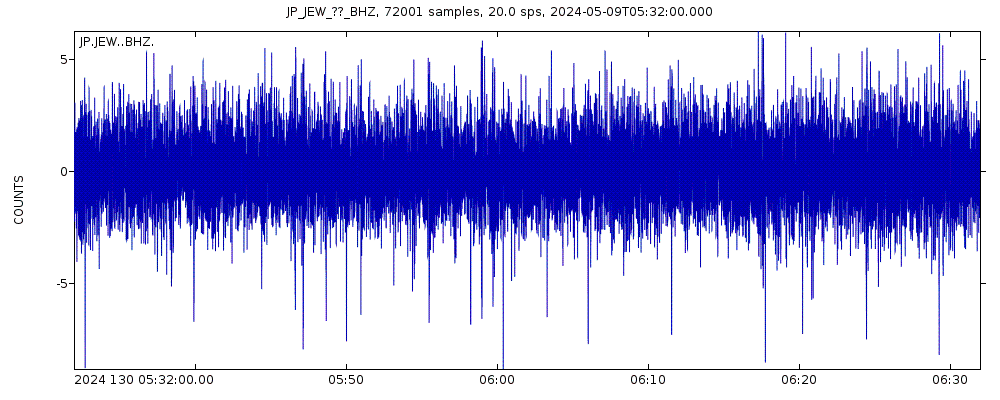
Latest seismic signals
Earthquake Catalog - Look up past earthquakes
| or | ||
Look up quakes! | ||
Earthquake statistics
Average number of earthquakes
- Mag. 7 or higher: 0.03 quakes per year (or 1 quake every 31.3 years)
- Mag. 6 or higher: 0.25 quakes per year (or 1 quake every 4 years)
- Mag. 5 or higher: 1.61 quakes per year
- Mag. 4 or higher: 7 quakes per year
- Mag. 3 or higher: 33.6 quakes per year (or 2.8 quakes per month)
- Mag. 2 or higher: 69 quakes per year (or 5.7 quakes per month)
- Mag. 1 or higher: 128 quakes per year (or 10.7 quakes per month)
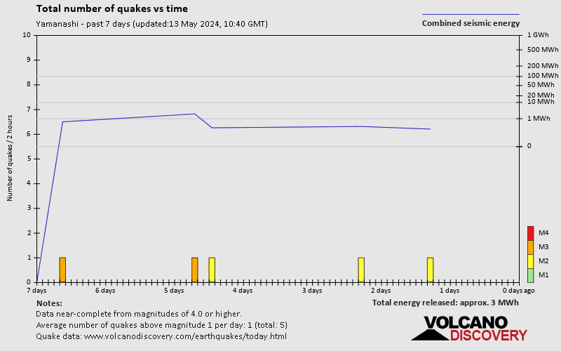
Number of earthquakes over time
Yamanashi Earthquake FAQ
+How frequent are earthquakes in or near Yamanashi, Japan?
Yamanashi has a very high level of seismic activity. Based on data from the past 54 years and our earthquake archive back to 1900, there are about 69 quakes on average per year in or near Yamanashi, Japan. Yamanashi has had at least 4 quakes above magnitude 7 since 1900, which suggests that larger earthquakes of this size occur infrequently, probably on average approximately every 30 to 35 years.
+How many earthquakes occur every year in or near Yamanashi, Japan?
On average, Yamanashi has about 33.6 quakes of magnitude 3 or higher per year.
+When was the latest earthquake in Yamanashi?
The last earthquake in Yamanashi occurred 7 hours ago and had a magnitude of 3.0:
A light magnitude 3.0 earthquake hit 31 km (19 mi) away from Hamakita, Shizuoka, ![]() Japan, in the early morning of Friday, May 3, 2024 at 6.51 am local time (GMT +9). The quake had a very shallow depth of 24 km (15 mi) and was not felt (or at least not reported so).
Japan, in the early morning of Friday, May 3, 2024 at 6.51 am local time (GMT +9). The quake had a very shallow depth of 24 km (15 mi) and was not felt (or at least not reported so).
+How many quakes were there in Yamanashi in the past 30 days?
In the past 30 days, Yamanashi has been shaken by 0 quakes of magnitude 5.0 or above, 1 quake of magnitude 4.4, 6 quakes between 3.0 and 4.0, and 5 quakes between 2.0 and 3.0.
+What was the strongest quake in Yamanashi in the past 30 days?
The strongest earthquake in Yamanashi in the past 30 days had a magnitude of 5.1 and occurred 9 days ago:
A strong magnitude 5.1 earthquake occurred in the North Pacific Ocean near the coast of Ibaraki, ![]() Japan, in the evening of Wednesday, Apr 24, 2024 at 8.40 pm local time (GMT +9). The quake had a shallow depth of 55 km (34 mi) and was felt over a large region.
Japan, in the evening of Wednesday, Apr 24, 2024 at 8.40 pm local time (GMT +9). The quake had a shallow depth of 55 km (34 mi) and was felt over a large region.
Embed or share standalone map
You can use the standalone version of our interactive earthquake map or embed it on your website:Largest Quakes in or near Yamanashi, Japan
Date and Time | Mag Depth | ###DIST_LABEL### | Location | Details | Map |
|---|


