


Latest quakes in or near North Kalimantan, Indonesia - list, stats and map
| Latest See all | Mag. 3.8 earthquake Sabah-kalimantan Border Region - Apr 3, 2024 - |
| Strongest since 1970 | Mag. 6.2 Sabah - Malaysia - Jul 26, 1976 - |
- 4 quakes above magnitude 6
- 4 quakes between magnitude 5 and 6
- 25 quakes between magnitude 4 and 5
- 5 quakes between magnitude 3 and 4
- 4 quakes between magnitude 2 and 3
Date and Time | Mag Depth | Nearest Volcano | Location | Details | Map |
|---|---|---|---|---|---|
| Apr 3, 10:10 pm (Kuching) | 3.8 320 km | 21 km (13 mi) to the NE | Info | ||
| Friday, February 23, 2024 GMT (1 quake) | |||||
| Feb 23, 09:16 pm (Makassar) | 2.8 8 km | 40 km (25 mi) to the SE | Info | ||
| Thursday, November 9, 2023 GMT (1 quake) | |||||
| Nov 9, 2023 06:16 pm (Kuching) | 2.4 35 km | 36 km (22 mi) to the NE | Info | ||
| Wednesday, November 8, 2023 GMT (1 quake) | |||||
| Nov 9, 2023 05:37 am (Kuching) | 2.7 13 km | 89 km (55 mi) to the NE | Info | ||
| Friday, October 6, 2023 GMT (1 quake) | |||||
| Oct 6, 2023 10:08 am (Kuching) | 2.4 10 km | 8 km (5 mi) to the NE | Info | ||
| Sunday, September 17, 2023 GMT (1 quake) | |||||
| Sep 17, 2023 10:37 am (Kuching) | 2.2 141 km | 25 km (16 mi) to the N | Info | ||
| Saturday, August 26, 2023 GMT (1 quake) | |||||
| Aug 26, 2023 11:54 am (Makassar) | 3.9 10 km | 60 km (37 mi) to the SE | Info | ||
| Saturday, August 12, 2023 GMT (1 quake) | |||||
| Aug 12, 2023 07:05 pm (Makassar) | 2.9 10 km | Info | |||
| Monday, June 26, 2023 GMT (1 quake) | |||||
| Jun 27, 2023 03:44 am (Makassar) | 4.0 10 km | 80 km (50 mi) to the S | Info | ||
| Tuesday, June 20, 2023 GMT (1 quake) | |||||
| Jun 20, 2023 12:43 pm (Pontianak) | 4.6 10 km | 54 km (34 mi) to the SW | Info | ||
| Wednesday, June 7, 2023 GMT (1 quake) | |||||
| Jun 7, 2023 07:39 pm (Kuching) | 2.6 3 km | 92 km (57 mi) to the NE | Info | ||
North Kalimantan Quake-O-Meter
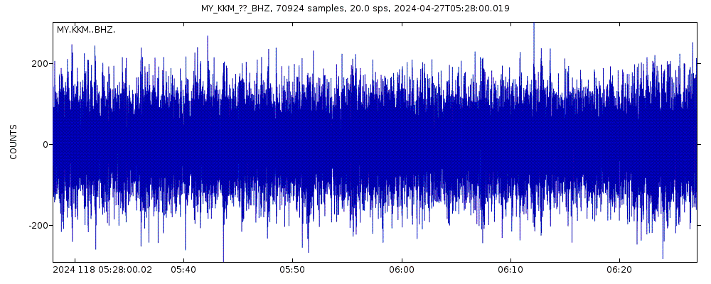
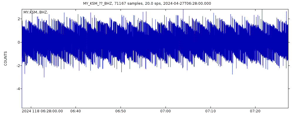
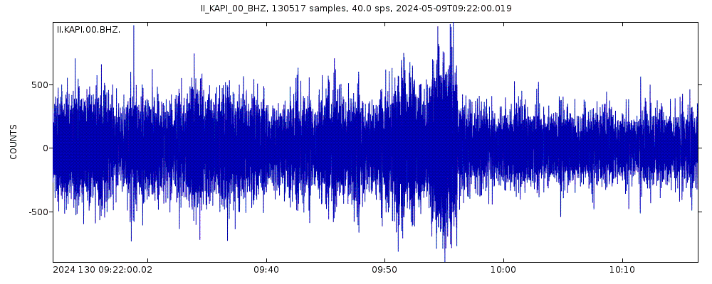
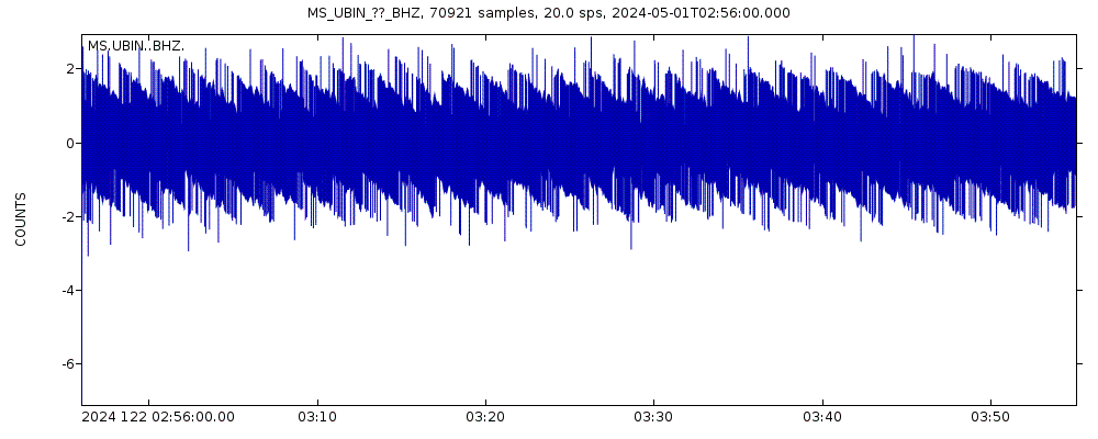
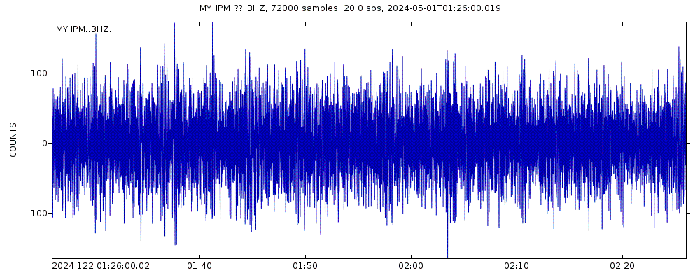
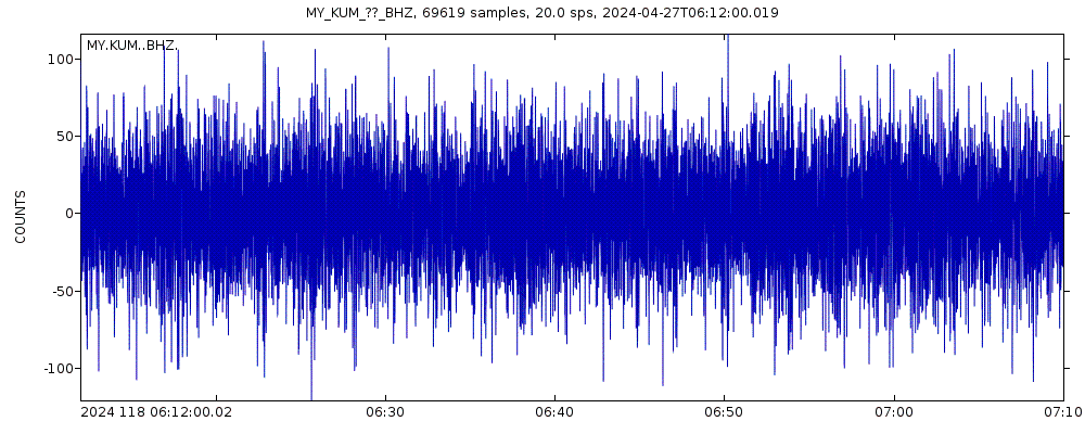
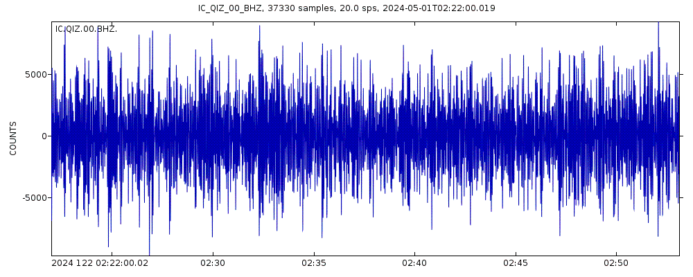
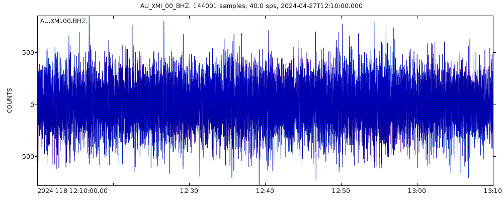
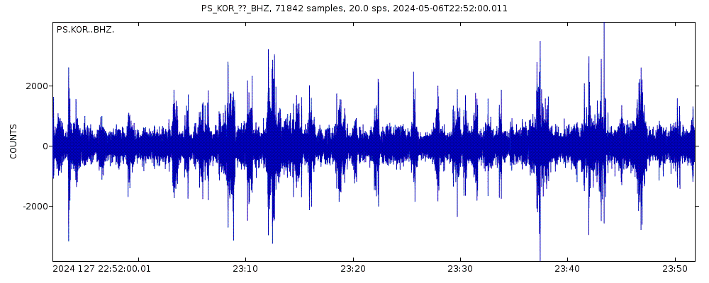
Latest seismic signals

Earthquake Catalog - Look up past earthquakes
| or | ||
Look up quakes! | ||
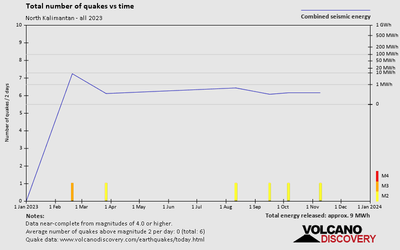
Earthquake statistics
Average number of earthquakes
- Mag. 6 or higher: 0.04 quakes per year (or 1 quake every 25 years)
- Mag. 5 or higher: 0.11 quakes per year (or 1 quake every 8.8 years)
- Mag. 4 or higher: 1.16 quakes per year
- Mag. 3 or higher: 1.64 quakes per year
- Mag. 2 or higher: 2.3 quakes per year
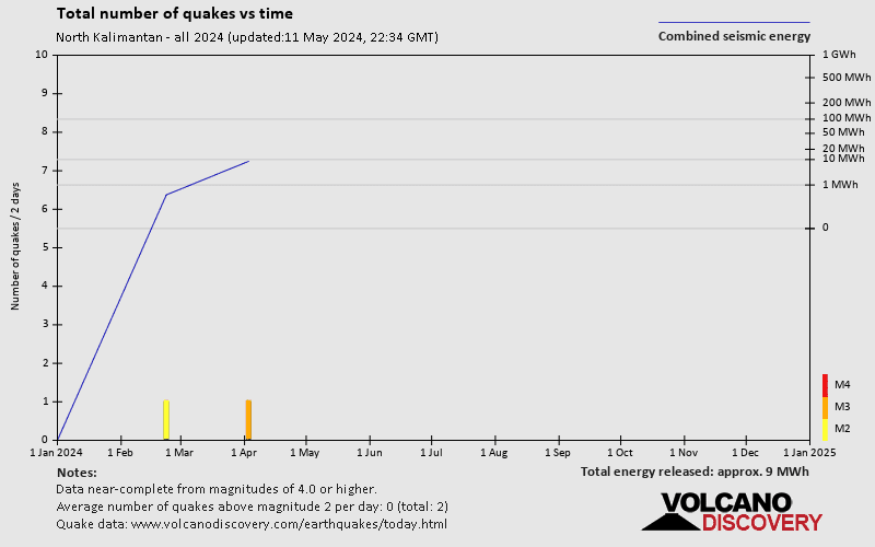
Number of earthquakes over time


North Kalimantan Earthquake FAQ
+How frequent are earthquakes in or near North Kalimantan, Indonesia?
North Kalimantan has very few earthquakes and most of them are very small (below magnitude 3). Larger quakes with magnitudes above 3 might occur from time to time. Based on data from the past 54 years and our earthquake archive back to 1900, there are about 1.8 quakes on average per year in or near North Kalimantan, Indonesia. However, North Kalimantan has had at least 5 quakes above magnitude 6 since 1900, which suggests that larger earthquakes of this size occur infrequently, probably on average approximately every 20 to 25 years.
+When was the latest earthquake in North Kalimantan?
The last earthquake in North Kalimantan occurred 2 weeks ago and had a magnitude of 3.8:
A moderate magnitude 3.8 earthquake hit 81 km (51 mi) away from Tawau, Sabah, ![]() Malaysia, late in the evening of Wednesday, Apr 3, 2024 at 10.10 pm local time (Asia/Kuching GMT +8). The quake had a great depth of 320 km (199 mi) and was not felt (or at least not reported so).
Malaysia, late in the evening of Wednesday, Apr 3, 2024 at 10.10 pm local time (Asia/Kuching GMT +8). The quake had a great depth of 320 km (199 mi) and was not felt (or at least not reported so).
+How many quakes were there in North Kalimantan since 1970?
Since 1970, North Kalimantan has had 4 quakes of magnitude 6.0 or above, 4 quakes between 5.0 and 6.0, 25 quakes between 4.0 and 5.0, 5 quakes between 3.0 and 4.0, and 4 quakes between 2.0 and 3.0.
+What was the strongest quake in North Kalimantan since 1970?
The strongest earthquake in North Kalimantan since 1970 had a magnitude of 6.2 and occurred 48 years ago:
A very strong magnitude 6.2 earthquake hit 7.8 km (4.8 mi) away from Lahad Datu, Sabah, ![]() Malaysia, in the morning of Monday, Jul 26, 1976 at 10.56 am local time (Asia/Kuching GMT +8). The quake had a very shallow depth of 33 km (21 mi) .
Malaysia, in the morning of Monday, Jul 26, 1976 at 10.56 am local time (Asia/Kuching GMT +8). The quake had a very shallow depth of 33 km (21 mi) .


