


Latest quakes in or near Northeast, Iceland, in the past 24 hours on Saturday, April 20, 2024 - list, stats and map
| Latest today See all | Mag. 1.4 earthquake Iceland: 3.9 km N of Bárðarbunga - |
| Strongest today | Mag. 2.5 4.2 km N of Bárðarbunga - |
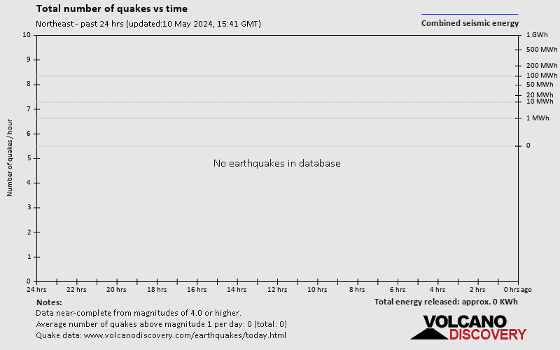
- 1 quake above magnitude 2
- 15 quakes below magnitude 2 that people normally don't feel.
Date and Time | Mag Depth | Nearest Volcano | Location | Details | Map |
|---|---|---|---|---|---|
| Apr 20, 01:44 am (Reykjavik) | 1.4 1.1 km | Info | |||
| Apr 20, 01:25 am (Reykjavik) | 2.5 6.6 km | Info | |||
| Apr 20, 01:24 am (Reykjavik) | 1.4 4.9 km | Info | |||
| Apr 20, 01:24 am (Reykjavik) | 1.4 4.3 km | Info | |||
| Apr 20, 01:23 am (Reykjavik) | 1.3 0.3 km | Info | |||
| Apr 20, 12:21 am (Reykjavik) | 0.3 9.6 km | Info | |||
| Friday, April 19, 2024 GMT (11 quakes) | |||||
| Apr 19, 11:47 pm (Reykjavik) | 0.3 10.9 km | Info | |||
| Apr 19, 06:45 pm (Reykjavik) | 0.4 8.8 km | Info | |||
| Apr 19, 12:51 pm (Reykjavik) | 0.9 3.1 km | Info | |||
| Apr 19, 11:33 am (Reykjavik) | 0.6 4.8 km | Info | |||
| Apr 19, 11:04 am (Reykjavik) | 1.4 10 km | 13 km (8.1 mi) to the NW | Info | ||
Northeast Quake-O-Meter
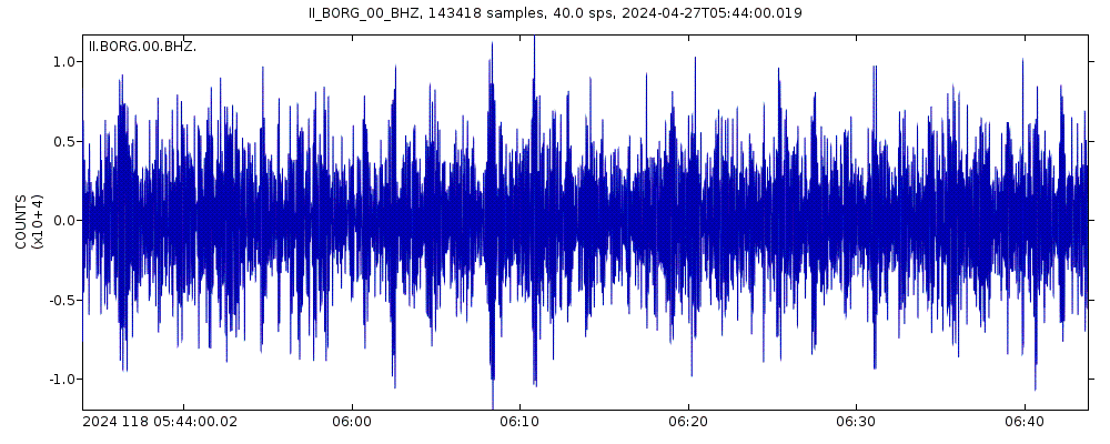
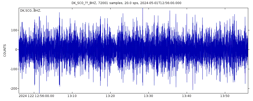
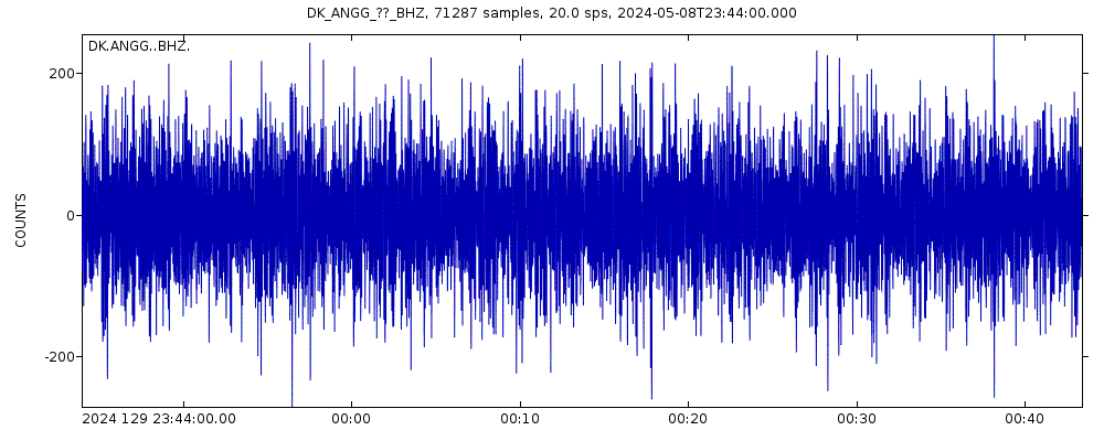
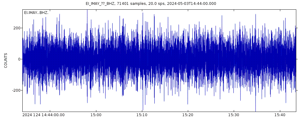
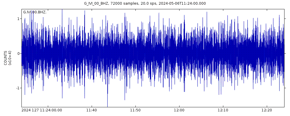
Latest seismic signals

Earthquake Catalog - Look up past earthquakes
| or | ||
Look up quakes! | ||
Earthquake statistics
Average number of earthquakes
- Mag. 7 or higher: 0.02 quakes per year (or 1 quake every 62.5 years)
- Mag. 6 or higher: 0.23 quakes per year (or 1 quake every 4.4 years)
- Mag. 5 or higher: 4.4 quakes per year
- Mag. 4 or higher: 21.5 quakes per year
- Mag. 3 or higher: 128 quakes per year (or 10.6 quakes per month)
- Mag. 2 or higher: 980 quakes per year (or 82 quakes per month)
- Mag. 1 or higher: 7,000 quakes per year (or 19.3 quakes per day)
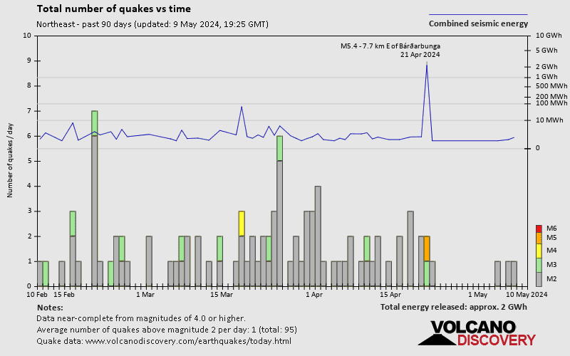
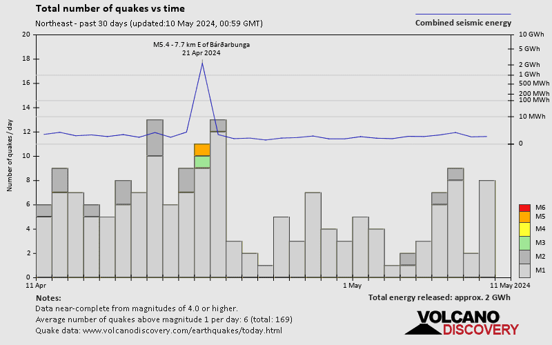
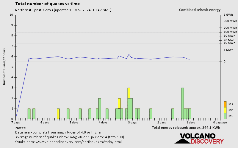
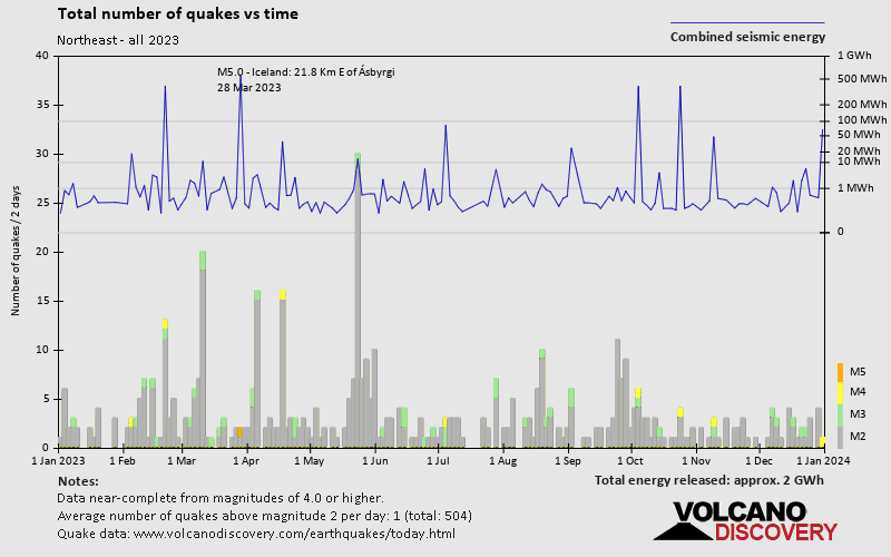
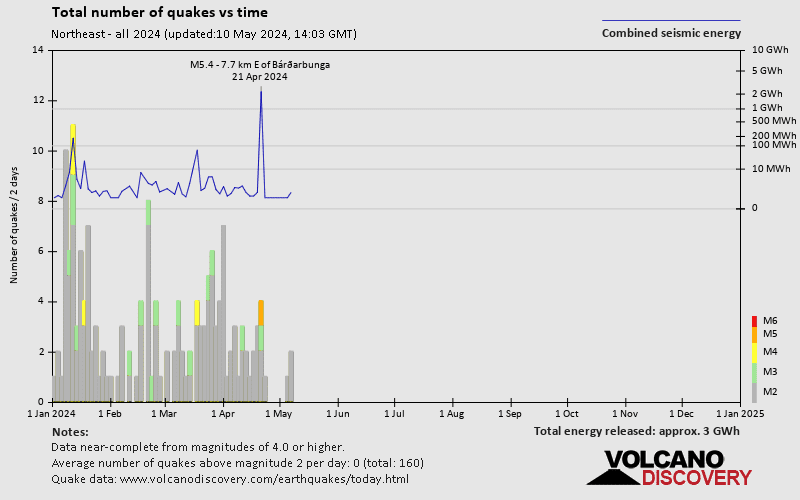
Number of earthquakes over time
Northeast Earthquake FAQ
+How frequent are earthquakes in or near Northeast, Iceland?
Northeast has a high level of seismic activity. Based on data from the past 14 years and our earthquake archive back to 1900, there are about 14,000 quakes on average per year in or near Northeast, Iceland. Northeast has had at least 2 quakes above magnitude 7 since 1900, which suggests that larger earthquakes of this size occur infrequently, probably on average approximately every 60 to 65 years.
+How many earthquakes occur every year in or near Northeast, Iceland?
On average, Northeast has about 128 quakes of magnitude 3 or higher per year (Mag 4+: 21.5 quakes per year, Mag 5+: 4.4 quakes per year).
+When was the latest earthquake in Northeast?
The last earthquake in Northeast occurred 5 hours ago and had a magnitude of 1.4:
A light magnitude 1.4 earthquake hit 218 km (135 mi) away from Reykjavik, Capital, ![]() Iceland, in the early morning of Saturday, Apr 20, 2024 at 1.44 am local time (Atlantic/Reykjavik GMT +0). The quake had a very shallow depth of 1.1 km (0.7 mi) and was too small to be felt by people.
Iceland, in the early morning of Saturday, Apr 20, 2024 at 1.44 am local time (Atlantic/Reykjavik GMT +0). The quake had a very shallow depth of 1.1 km (0.7 mi) and was too small to be felt by people.
+How many quakes were there in Northeast in the past 24 hours?
In the past 24 hours, Northeast has had 1 quake of magnitude 2.5. There were also 15 quakes below magnitude 2.0 which people don't normally feel.
+What was the strongest quake in Northeast in the past 24 hours?
The strongest earthquake in Northeast in the past 24 hours had a magnitude of 2.5 and occurred 5 hours ago:
A light magnitude 2.5 earthquake hit 219 km (136 mi) away from Reykjavik, Capital, ![]() Iceland, in the early morning of Saturday, Apr 20, 2024 at 1.25 am local time (Atlantic/Reykjavik GMT +0). The quake had a very shallow depth of 6.6 km (4.1 mi) and was not felt (or at least not reported so).
Iceland, in the early morning of Saturday, Apr 20, 2024 at 1.25 am local time (Atlantic/Reykjavik GMT +0). The quake had a very shallow depth of 6.6 km (4.1 mi) and was not felt (or at least not reported so).


