


Latest quakes in or near Mayagüez, Puerto Rico - list, stats and map
| Latest See all | Mag. 3.4 earthquake North Atlantic Ocean - Aguadilla, Puerto Rico - |
| Strongest past 7 days | Mag. 3.9 Caribbean Sea - La Altagracia, Dominican Republic - |
- 6 quakes above magnitude 3
- 18 quakes between magnitude 2 and 3
- 1 quake below magnitude 2 that people normally don't feel.
Date and Time | Mag Depth | Nearest Volcano | Location | Details | Map |
|---|---|---|---|---|---|
| Apr 23, 08:15 pm (GMT -4) | 3.4 10 km | 90 km (56 mi) to the N | Info | ||
| Tuesday, April 23, 2024 GMT (10 quakes) | |||||
| Apr 23, 11:20 am (Puerto Rico) | 2.5 14 km | 31 km (19 mi) to the SE | Info | ||
| Apr 23, 10:58 am (Puerto Rico) | 2.6 52 km | 86 km (53 mi) to the E | Info | ||
| Apr 23, 10:05 am (Puerto Rico) | 2.6 24 km | 64 km (40 mi) to the E | Info | ||
| Apr 23, 06:51 am (GMT -4) | 3.4 49 km | 40 km (25 mi) to the W | Info | ||
| Apr 23, 05:59 am (Puerto Rico) | 2.8 15 km | 23 km (14 mi) to the S | Info | ||
| Apr 23, 03:28 am (Puerto Rico) | 2.4 18 km | 34 km (21 mi) to the SE | Info | ||
| Apr 23, 03:11 am (Puerto Rico) | 2.7 7.8 km | 20 km (12 mi) to the SE | Info | ||
| Apr 23, 12:18 am (Puerto Rico) | 2.5 13 km | 27 km (17 mi) to the SE | Info | ||
| Apr 22, 11:55 pm (GMT -4) | 3.0 68 km | 48 km (30 mi) to the W | Info | ||
| Apr 22, 10:35 pm (GMT -4) | 3.0 63 km | 41 km (25 mi) to the N | Info | ||
Mayagüez Quake-O-Meter
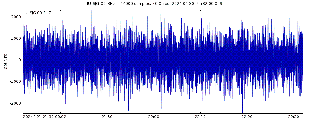
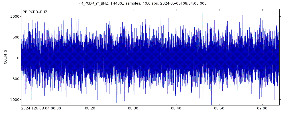
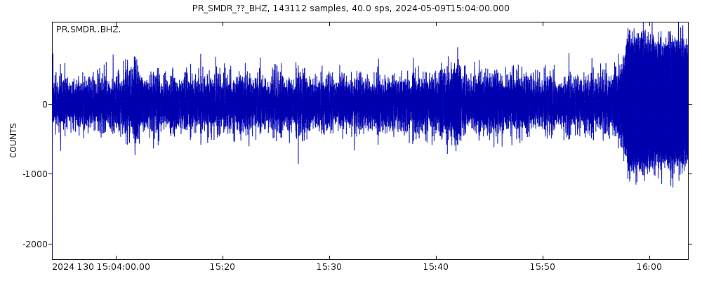
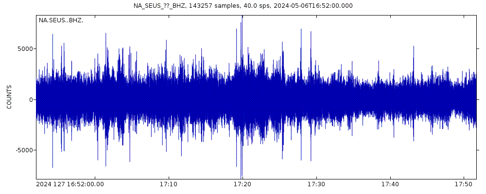
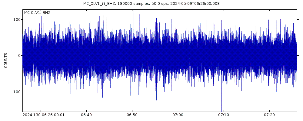
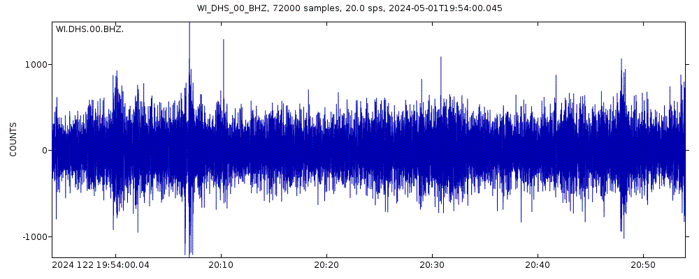
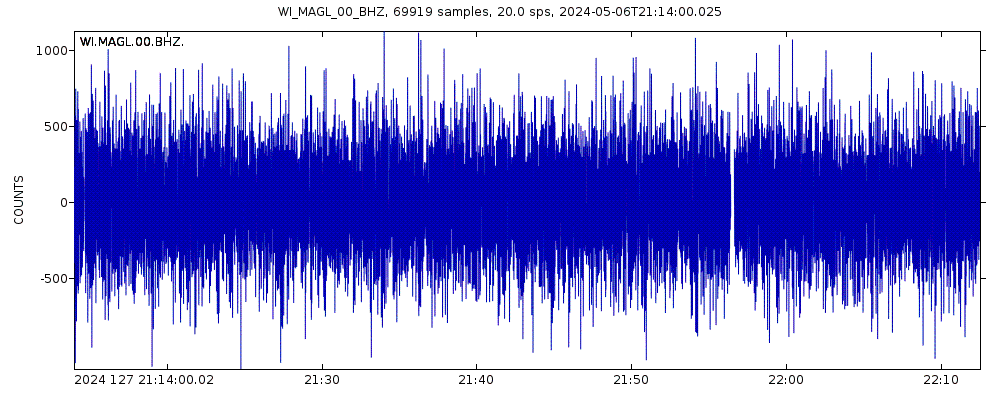
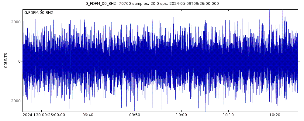
Latest seismic signals


Earthquake Catalog - Look up past earthquakes
| or | ||
Look up quakes! | ||
Earthquake statistics
Average number of earthquakes
- Mag. 7 or higher: 0.02 quakes per year (or 1 quake every 62.5 years)
- Mag. 6 or higher: 0.23 quakes per year (or 1 quake every 4.4 years)
- Mag. 5 or higher: 1.77 quakes per year
- Mag. 4 or higher: 28.1 quakes per year
- Mag. 3 or higher: 529 quakes per year (or 44 quakes per month)
- Mag. 2 or higher: 1,800 quakes per year (or 5 quakes per day)
- Mag. 1 or higher: 2,100 quakes per year (or 5.8 quakes per day)
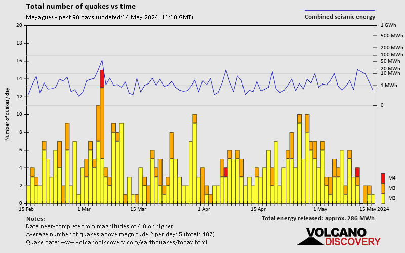
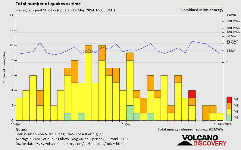
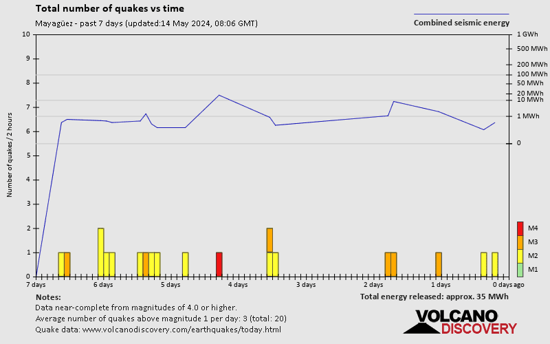
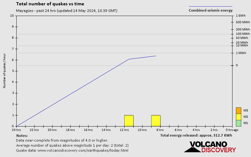
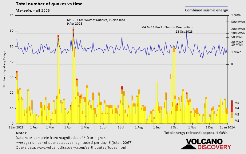
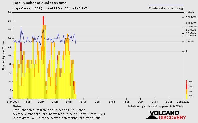
Number of earthquakes over time
Mayagüez Earthquake FAQ
+How frequent are earthquakes in or near Mayagüez, Puerto Rico?
Mayagüez has a very high level of seismic activity. Based on data from the past 14 years and our earthquake archive back to 1900, there are about 2,100 quakes on average per year in or near Mayagüez, Puerto Rico. Mayagüez has had at least 2 quakes above magnitude 7 since 1900, which suggests that larger earthquakes of this size occur infrequently, probably on average approximately every 60 to 65 years.
+How many earthquakes occur every year in or near Mayagüez, Puerto Rico?
On average, Mayagüez has about 529 quakes of magnitude 3 or higher per year (Mag 4+: 28.1 quakes per year).
+When was the latest earthquake in Mayagüez?
The last earthquake in Mayagüez occurred 13 hours ago and had a magnitude of 3.4:
A light magnitude 3.4 earthquake occurred in the North Atlantic Ocean near the coast of ![]() Puerto Rico in the evening of Tuesday, Apr 23, 2024 at 8.15 pm local time (GMT -4). The quake had a very shallow depth of 10 km (6 mi) and was reported felt by some people near the epicenter.
Puerto Rico in the evening of Tuesday, Apr 23, 2024 at 8.15 pm local time (GMT -4). The quake had a very shallow depth of 10 km (6 mi) and was reported felt by some people near the epicenter.
+How many quakes were there in Mayagüez in the past 7 days?
In the past 7 days, Mayagüez has had 6 quakes of magnitude 3.0 or above and 18 quakes between 2.0 and 3.0.
+What was the strongest quake in Mayagüez in the past 7 days?
The strongest earthquake in Mayagüez in the past 7 days had a magnitude of 3.9 and occurred 6 days ago:
A moderate magnitude 3.9 earthquake occurred in the Caribbean Sea near Isla Saona island, Dominican Republic, around noon of Thursday, Apr 18, 2024 at 12.28 pm local time (America/Santo Domingo GMT -4). The quake had a moderate depth of 85 km (53 mi) and was not felt (or at least not reported so).
Embed or share standalone map
You can use the standalone version of our interactive earthquake map or embed it on your website:Largest Quakes in or near Mayagüez, Puerto Rico
Date and Time | Mag Depth | ###DIST_LABEL### | Location | Details | Map |
|---|


