


Latest quakes in or near Brunei - list, stats and map
| Latest See all | Mag. 4.6 earthquake 134 km southeast of Miri - Sarawak, Malaysia - Sep 18, 2020 - |
| Strongest since 1970 | Mag. 5.2 Sarawak - Malaysia - May 2, 2004 - |
Updated: Apr 20, 2024 06:21 GMT -
Find all latest earthquakes in or near Brunei in our list below, updated every minute! Events are often reported within minutes. If you just felt a quake in or near Brunei, find out which quakes are happening right now!
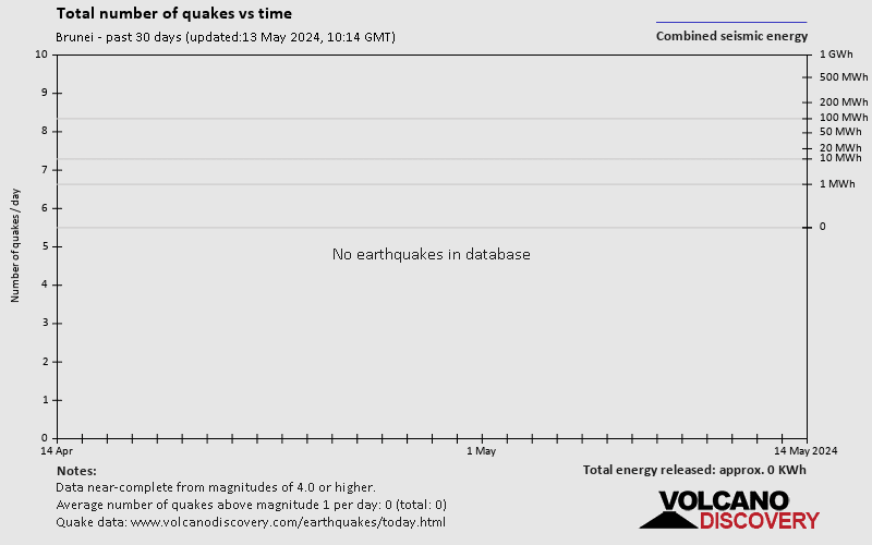
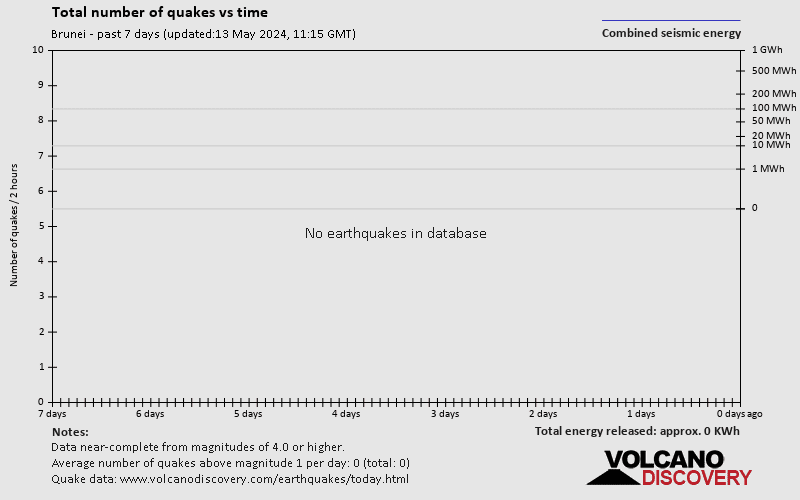
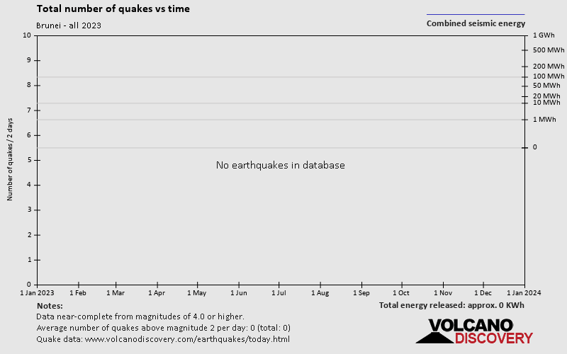
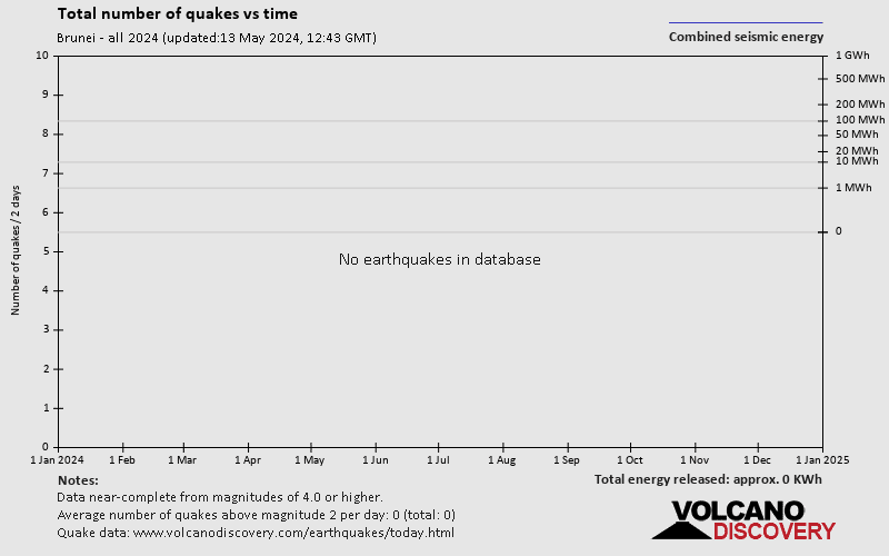
There were no significant confirmed earthquakes in or near Brunei in the past 24 hours.
Since 1970, Brunei has had 2 quakes of magnitudes above 4 and up to 5.2:
- 1 quake above magnitude 5
- 1 quake between magnitude 4 and 5
Number of quakes per year
Read more
[smaller] [bigger]
in sec
Showing all recent or significant quakes since 1970, magnitude 0 or higher, within up to 100 km (62 mi) distance (5 quakes):
Date and Time | Mag Depth | Nearest Volcano | Location | Details | Map |
|---|---|---|---|---|---|
| Sep 18, 2020 08:05 am (Kuching) | 4.6 279 km | 79 km (49 mi) to the S | Info | ||
| Thursday, June 30, 2005 GMT (1 quake) | |||||
| Jul 1, 2005 02:09 am (Kuching) | 4.5 25 km | 29 km (18 mi) to the E | Info | ||
| Tuesday, April 19, 2005 GMT (1 quake) | |||||
| Apr 20, 2005 12:17 am (Kuching) | 4.2 10 km | 100 km (62 mi) to the SW | Info | ||
| Saturday, May 1, 2004 GMT (1 quake) | |||||
| May 2, 2004 07:29 am (Kuching) | 5.2 10 km | 90 km (56 mi) to the SW | Info | ||
| Saturday, February 22, 1992 GMT (1 quake) | |||||
| Feb 22, 1992 12:39 am (Universal Time) | 5.2 40 km | 62 km (39 mi) to the N | Info | ||
About these data
Estimated combined seismic energy released: 8.9 x 10¹² joules (2.48 gigawatt hours, equivalent to 2138 tons of TNT or 0.1 atomic bombs!) | about seismic energy
Brunei Quake-O-Meter
Has seismic activity increased or decreased?
Number of quakes: -
Number of quakes vs average
Seismic Activity: ? %
Seismic activity vs average
Below average
Normal range
Above average
Updated
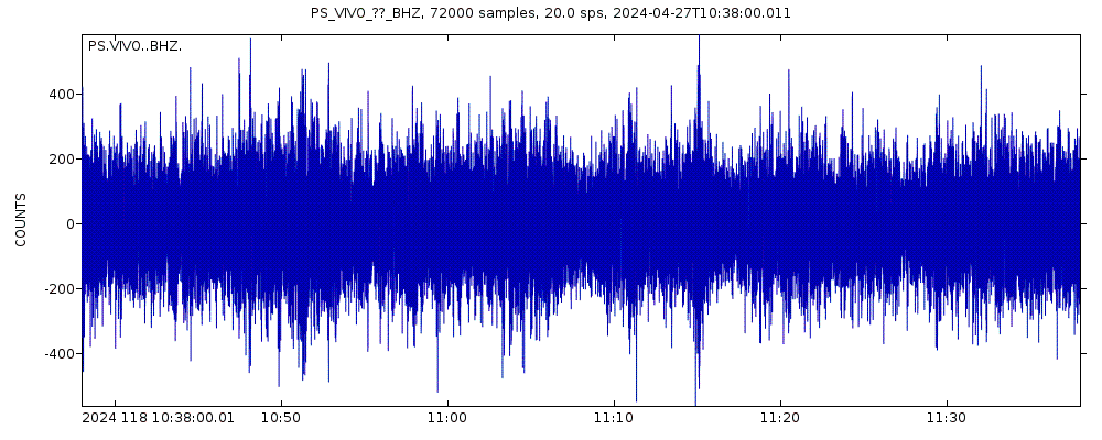
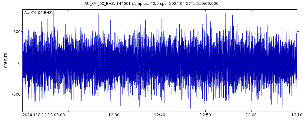
Latest seismic signals
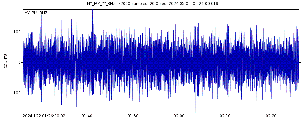
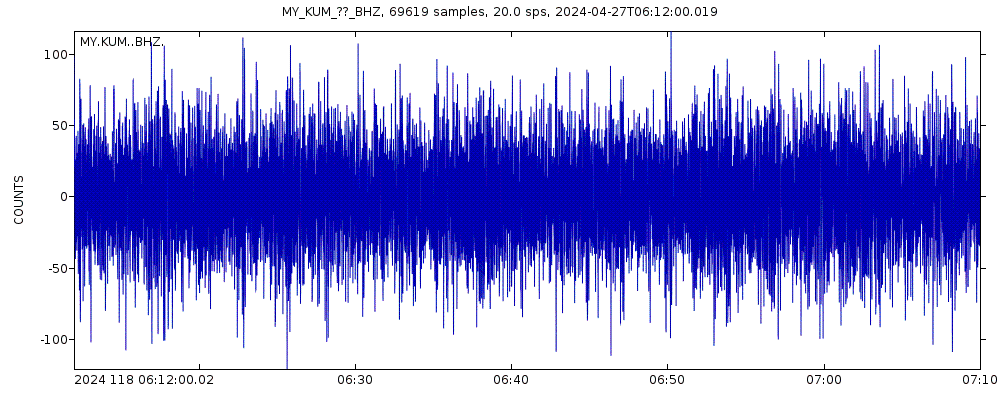
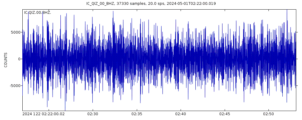
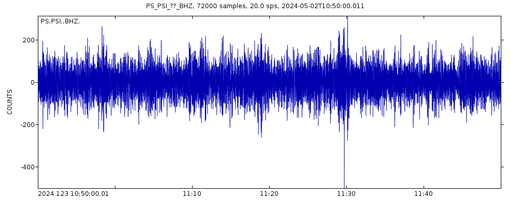
Seismic station: Kota Kinabalu (KKM/MY network) | Show on map | Station Info
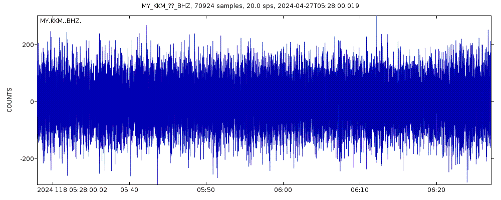
Seismogram (vertical component) last 60 minutes. Source: IRIS query builder webtool
Show more
Earthquake Catalog - Look up past earthquakes
Look up past earthquakes in this area by date or date range:
| or | ||
Look up quakes! | ||
Felt a quake? Report it!
Show quakes near me!
Earthquake statistics
Average number of earthquakes
Number of earthquakes over time
Past 90 days
30 days
7 days
24 hours
2023
2024 so far


Brunei Earthquake FAQ
+When was the latest earthquake in Brunei?
The last earthquake in Brunei occurred 4 years ago and had a magnitude of 4.6:
Mag. 4.6 earthquake 134 km southeast of Miri - Sarawak, Malaysia - Sep 18, 2020 -
A strong magnitude 4.6 earthquake hit 134 km (83 mi) away from Miri, Sarawak, ![]() Malaysia, in the morning of Friday, Sep 18, 2020 at 8.05 am local time (Asia/Kuching GMT +8). The quake had a moderate depth of 279 km (173 mi) and was not felt (or at least not reported so).
Malaysia, in the morning of Friday, Sep 18, 2020 at 8.05 am local time (Asia/Kuching GMT +8). The quake had a moderate depth of 279 km (173 mi) and was not felt (or at least not reported so).
+How many quakes were there in Brunei since 1970?
Since 1970, Brunei has had 1 quake of magnitude 5.2 and 1 quake of magnitude.
+What was the strongest quake in Brunei since 1970?
The strongest earthquake in Brunei since 1970 had a magnitude of 5.2 and occurred 20 years ago:
Mag. 5.2 earthquake Sarawak - Malaysia - May 2, 2004 -
A strong magnitude 5.2 earthquake hit 90 km (56 mi) away from Miri, Sarawak, ![]() Malaysia, in the morning of Sunday, May 2, 2004 at 7.29 am local time (Asia/Kuching GMT +8). The quake had a very shallow depth of 10 km (6 mi) .
Malaysia, in the morning of Sunday, May 2, 2004 at 7.29 am local time (Asia/Kuching GMT +8). The quake had a very shallow depth of 10 km (6 mi) .
Embed or share standalone map
You can use the standalone version of our interactive earthquake map or embed it on your website:Largest Quakes in or near Brunei
Date and Time | Mag Depth | ###DIST_LABEL### | Location | Details | Map |
|---|
Map of largest quakes in or near Brunei
[smaller] [bigger]


