


Latest quakes in or near Ensenada, Baja California, Mexico - list, stats and map
| Latest See all | Mag. 4.0 earthquake 70 km northeast of San Luis - Baja California, Mexico - |
| Strongest past 30 days | Mag. 4.2 Mexico: 46 km al NORESTE de SANTA ROSALIA - BCS - Apr 2, 2024 - |
- 1 quake above magnitude 4
- 39 quakes between magnitude 3 and 4
- 7 quakes between magnitude 2 and 3
Date and Time | Mag Depth | Nearest Volcano | Location | Details | Map |
|---|---|---|---|---|---|
| Apr 20, 04:54 am (Tijuana) | 4.0 20 km | 5 km (3.1 mi) to the SE | Info | ||
| Apr 19, 07:45 pm (GMT -8) | 2.3 10.4 km | 51 km (32 mi) to the NW | Info | ||
| Friday, April 19, 2024 GMT (7 quakes) | |||||
| Apr 19, 12:13 pm (GMT -8) | 3.8 10 km | 29 km (18 mi) to the SE | Info | ||
| Apr 19, 12:19 pm (Tijuana) | 3.7 10 km | 13 km (8.1 mi) to the SE | Info | ||
| Apr 19, 12:17 pm (Tijuana) | 3.0 10.4 km | 13 km (8.1 mi) to the SE | Info | ||
| Apr 19, 11:59 am (Tijuana) | 2.6 10 km | 31 km (19 mi) to the NE | Info | ||
| Apr 19, 11:53 am (Tijuana) | 1.8 9.2 km | 32 km (20 mi) to the NE | Info | ||
| Apr 19, 02:58 am (Tijuana) | 3.6 17 km | 67 km (42 mi) to the E | Info | ||
| Apr 18, 10:33 pm (Tijuana) | 1.8 5.7 km | 30 km (19 mi) to the NE | Info | ||
| Thursday, April 18, 2024 GMT (2 quakes) | |||||
| Apr 18, 11:57 am (Los Angeles) | 2.0 7.7 km | 68 km (42 mi) to the N | Info | ||
| Apr 18, 09:56 am (Los Angeles) | 1.0 5.5 km | 31 km (19 mi) to the NE | Info | ||
Ensenada Quake-O-Meter
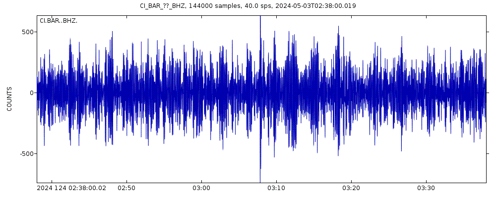
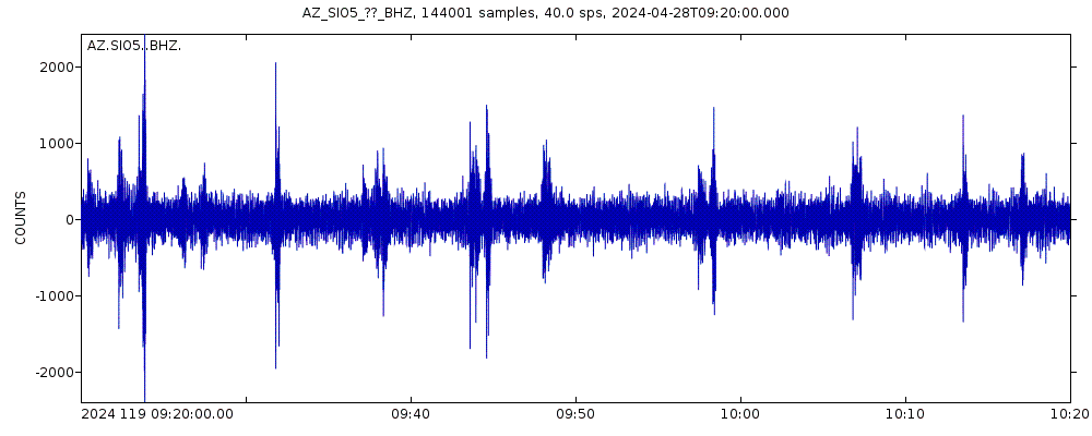
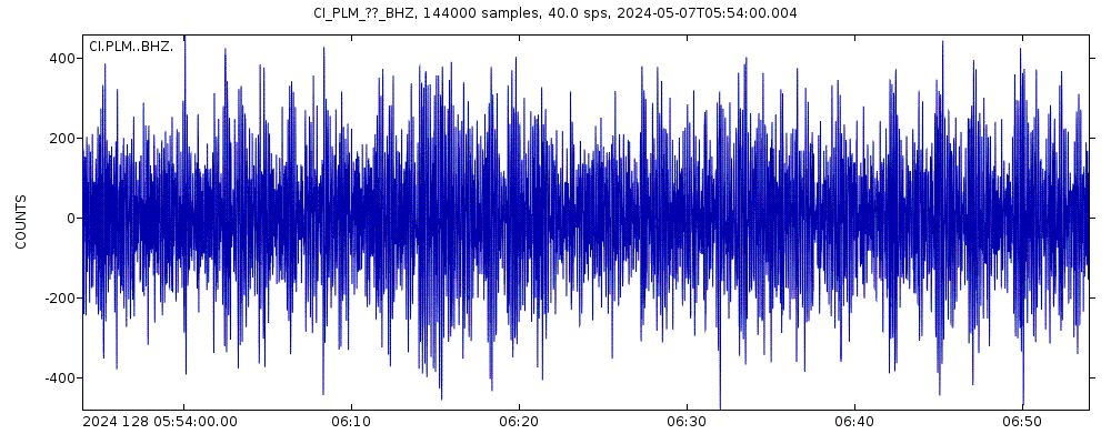
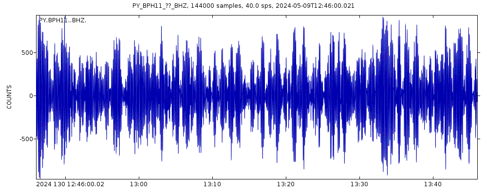
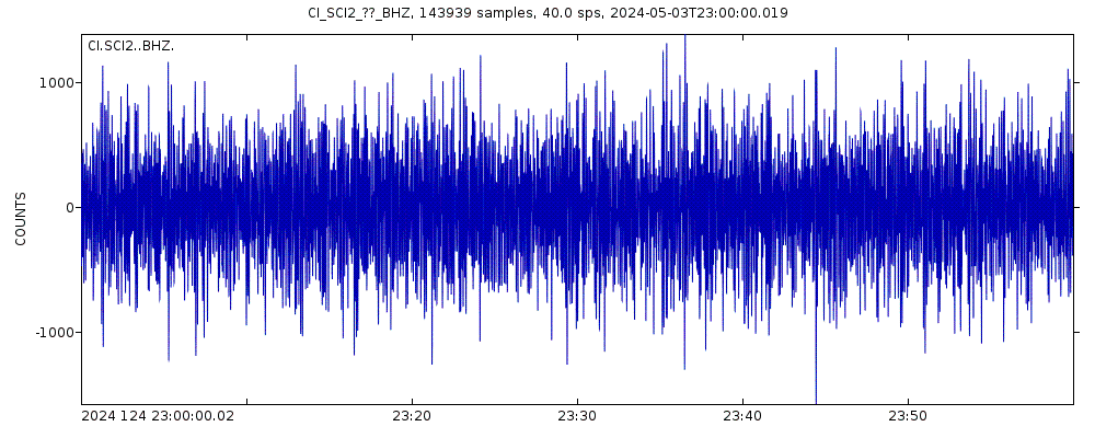
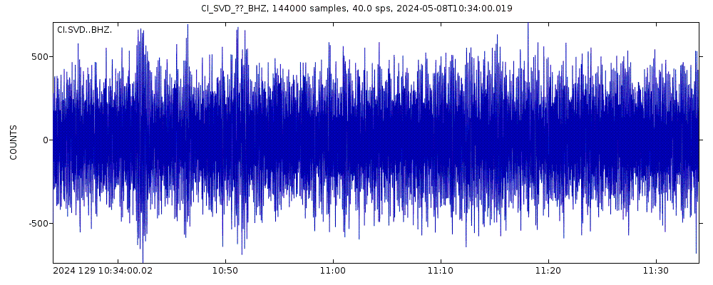
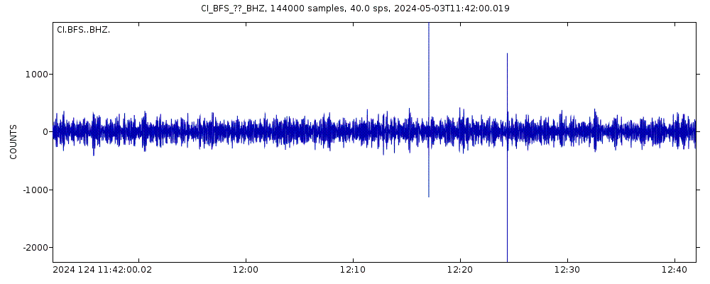
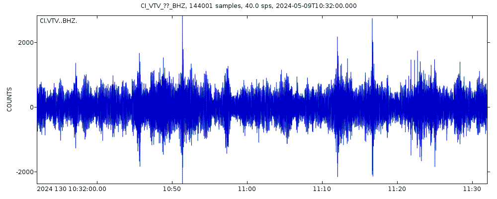
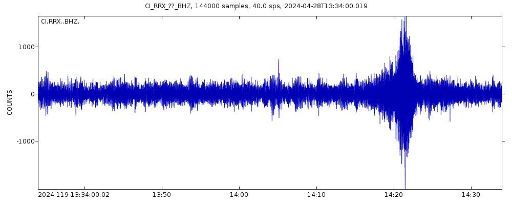
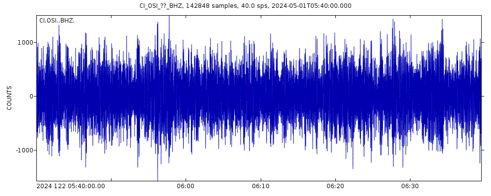
Latest seismic signals
Earthquake Catalog - Look up past earthquakes
| or | ||
Look up quakes! | ||
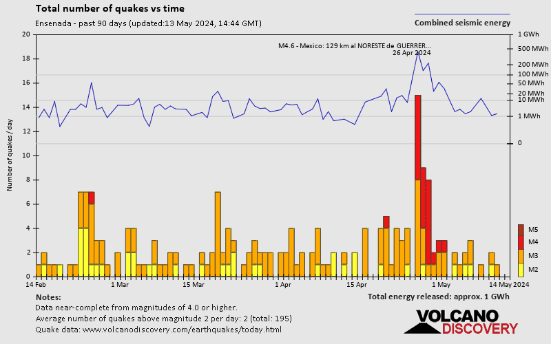
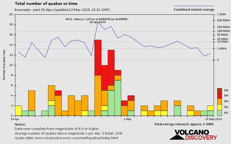
Earthquake statistics
Average number of earthquakes
- Mag. 7 or higher: 0.06 quakes per year (or 1 quake every 15.6 years)
- Mag. 6 or higher: 0.44 quakes per year (or 1 quake every 2.3 years)
- Mag. 5 or higher: 1.84 quakes per year
- Mag. 4 or higher: 60 quakes per year (or 5 quakes per month)
- Mag. 3 or higher: 555 quakes per year (or 46 quakes per month)
- Mag. 2 or higher: 646 quakes per year (or 54 quakes per month)
- Mag. 1 or higher: 678 quakes per year (or 56 quakes per month)
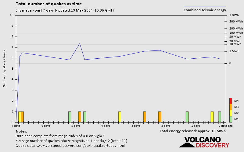
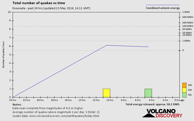
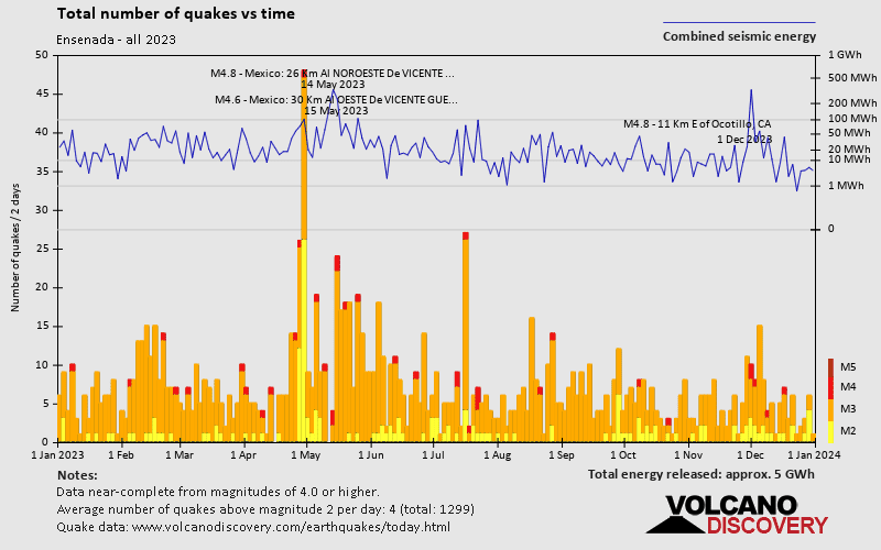
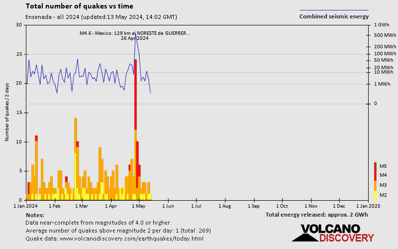
Number of earthquakes over time
Ensenada Earthquake FAQ
+How frequent are earthquakes in or near Ensenada, Baja California, Mexico?
Ensenada has a high level of seismic activity. Based on data from the past 54 years and our earthquake archive back to 1900, there are about 677 quakes on average per year in or near Ensenada, Baja California, Mexico. Ensenada has had at least 8 quakes above magnitude 7 since 1900, which suggests that larger earthquakes of this size occur infrequently, probably on average approximately every 15 to 20 years.
+How many earthquakes occur every year in or near Ensenada, Baja California, Mexico?
On average, Ensenada has about 555 quakes of magnitude 3 or higher per year (Mag 4+: 60 quakes per year).
+When was the latest earthquake in Ensenada?
The last earthquake in Ensenada occurred 1 hour and 9 minutes ago and had a magnitude of 4.0:
A moderate magnitude 4.0 earthquake occurred in the Gulf of California near Angel de la Guarda island, Mexico, in the early morning of Saturday, Apr 20, 2024 at 4.54 am local time (America/Tijuana GMT -7). The quake had a very shallow depth of 19.9 km (12 mi) and was not felt (or at least not reported so).
+How many quakes were there in Ensenada in the past 30 days?
In the past 30 days, Ensenada has been shaken by 1 quake of magnitude 4.2, 39 quakes between 3.0 and 4.0, and 7 quakes between 2.0 and 3.0.
+What was the strongest quake in Ensenada in the past 30 days?
The strongest earthquake in Ensenada in the past 30 days had a magnitude of 4.2 and occurred 2 weeks ago:
A moderate magnitude 4.2 earthquake occurred in the Gulf of California near Isla San Marcos island, Mexico, in the evening of Tuesday, Apr 2, 2024 at 9.39 pm local time (GMT -7). The quake had a very shallow depth of 15.1 km (9 mi) and was not felt (or at least not reported so).
Embed or share standalone map
You can use the standalone version of our interactive earthquake map or embed it on your website:Largest Quakes in or near Ensenada, Baja California, Mexico
Date and Time | Mag Depth | ###DIST_LABEL### | Location | Details | Map |
|---|


