


Latest quakes in or near the Bering Sea - list, stats and map
| Latest See all | Mag. 1.7 earthquake 22 km SE of Ugashik - Alaska - |
| Strongest since 2024 | Mag. 5.8 Rat Islands - Aleutian Islands, Alaska - Mar 30, 2024 - |
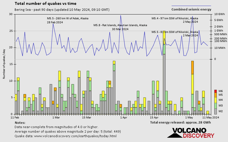
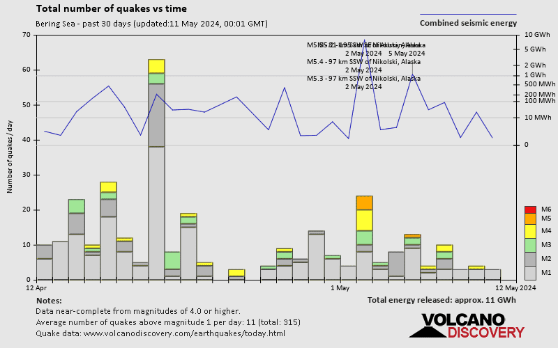
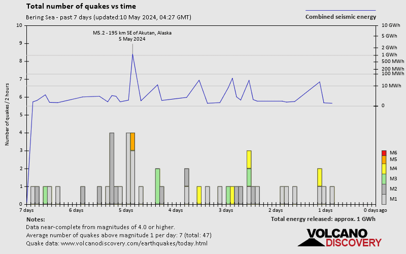
- 9 quakes above magnitude 5
- 83 quakes between magnitude 4 and 5
- 127 quakes between magnitude 3 and 4
- 390 quakes between magnitude 2 and 3
- 1,072 quakes below magnitude 2 that people normally don't feel.
Date and Time | Mag Depth | Nearest Volcano | Location | Details | Map |
|---|---|---|---|---|---|
| May 12, 04:16 pm (Anchorage) | 1.7 99 km | Info | |||
| Sunday, May 12, 2024 GMT (9 quakes) | |||||
| May 12, 09:29 pm (GMT +0) | 3.7 62 km | Info | |||
| May 13, 08:11 am (GMT +12) | 4.4 10 km | Info | |||
| May 12, 01:31 am (GMT -9) | 2.6 4.5 km | Info | |||
| May 12, 12:36 am (Anchorage) | 1.1 3.2 km | Info | |||
| May 11, 11:11 pm (Adak) | 2.0 7.6 km | Info | |||
| May 12, 07:19 am (GMT +0) | 2.1 7.8 km | Info | |||
| May 11, 09:48 pm (Adak) | 2.1 7.7 km | Info | |||
| May 11, 09:09 pm (Adak) | 2.0 6.2 km | Info | |||
| May 11, 07:19 pm (Adak) | 1.4 6.5 km | Info | |||
| Saturday, May 11, 2024 GMT (1 quake) | |||||
| May 11, 01:58 am (Adak) | 4.9 62 km | Info | |||
Bering Sea Quake-O-Meter
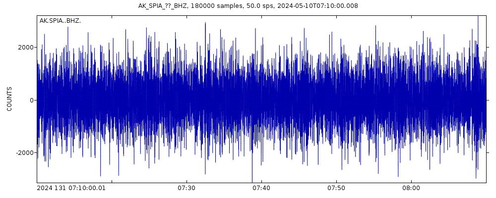
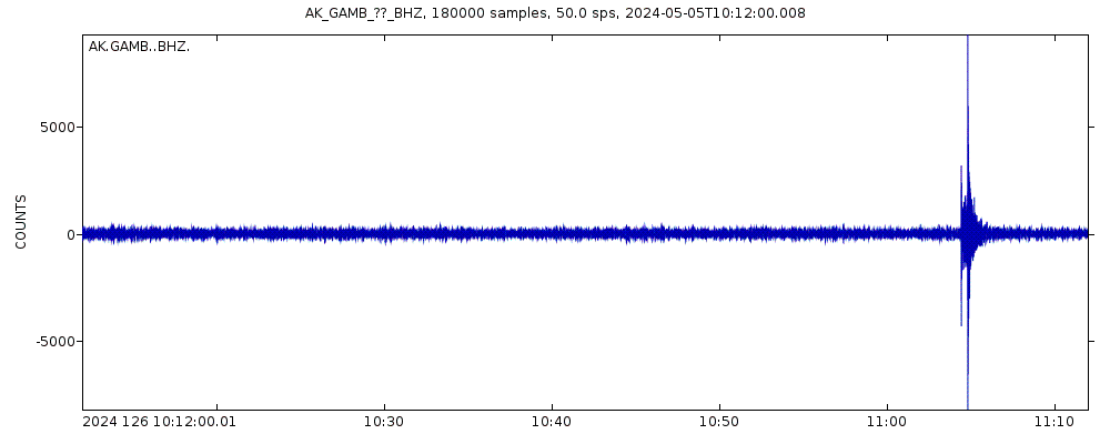
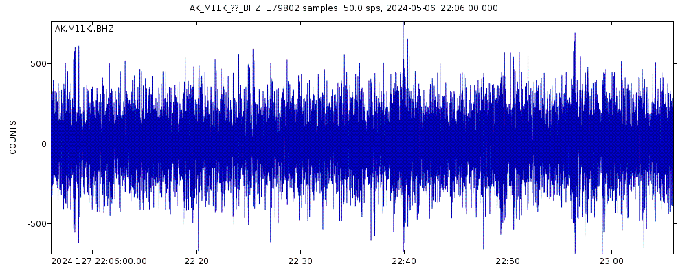
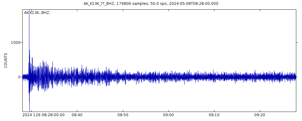
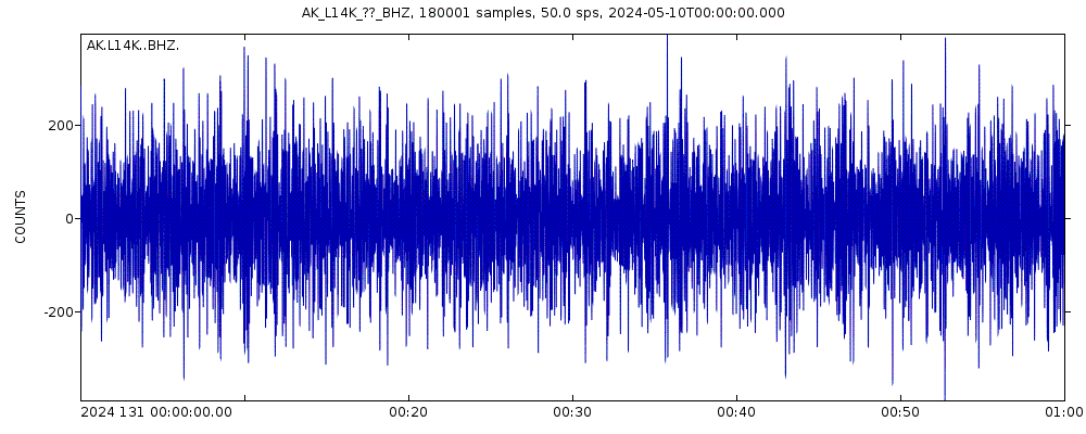
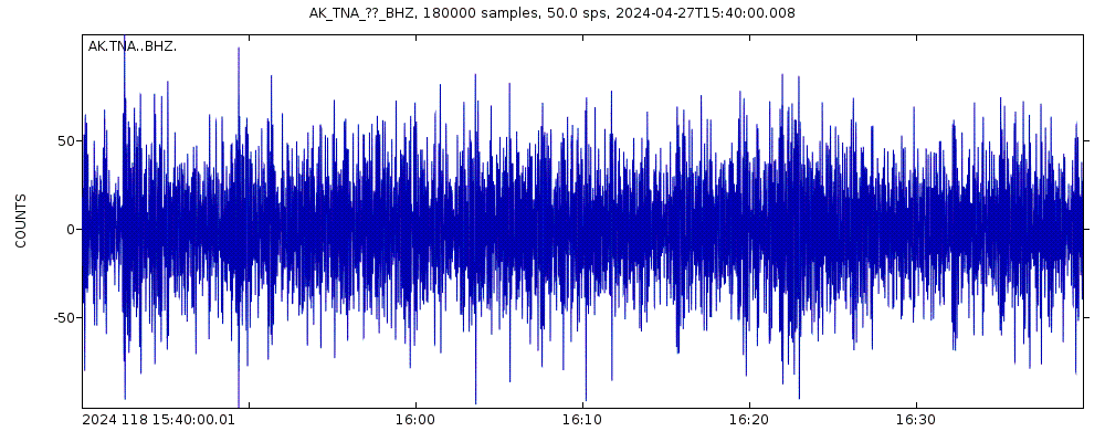
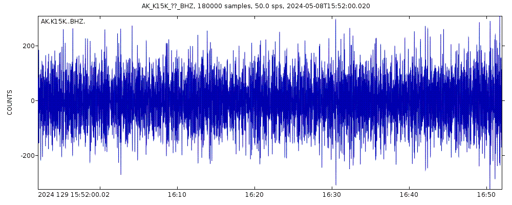
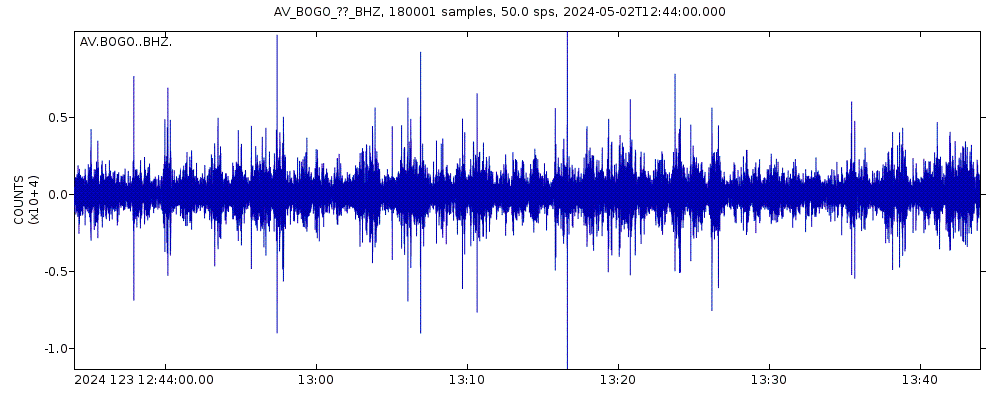
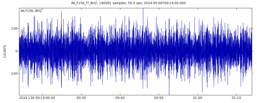
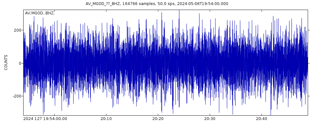
Latest seismic signals
Earthquake Catalog - Look up past earthquakes
| or | ||
Look up quakes! | ||
Earthquake statistics
Average number of earthquakes
- Mag. 8 or higher: 0.06 quakes per year (or 1 quake every 17.9 years)
- Mag. 7 or higher: 0.6 quakes per year (or 1 quake every 1.7 years)
- Mag. 6 or higher: 5.2 quakes per year
- Mag. 5 or higher: 53 quakes per year (or 4.4 quakes per month)
- Mag. 4 or higher: 339 quakes per year (or 28.2 quakes per month)
- Mag. 3 or higher: 1,100 quakes per year (or 3 quakes per day)
- Mag. 2 or higher: 2,700 quakes per year (or 7.4 quakes per day)
- Mag. 1 or higher: 5,000 quakes per year (or 13.7 quakes per day)
Number of earthquakes over time
Bering Sea Earthquake FAQ
+How frequent are earthquakes in or near the Bering Sea?
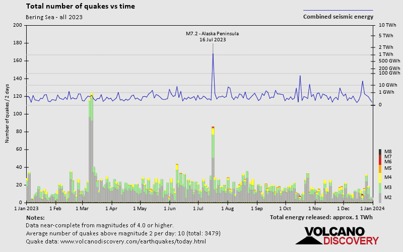
Bering Sea has a high level of seismic activity. Based on data from the past 14 years and our earthquake archive back to 1900, there are about 6,100 quakes on average per year in or near the Bering Sea. Bering Sea has had at least 7 quakes above magnitude 8 since 1900, which suggests that larger earthquakes of this size occur infrequently, probably on average approximately every 15 to 20 years.
+How many earthquakes occur every year in or near the Bering Sea?
On average, Bering Sea has about 1,100 quakes of magnitude 3 or higher per year (Mag 4+: 339 quakes per year, Mag 5+: 53 quakes per year, Mag 6+: 5.2 quakes per year).
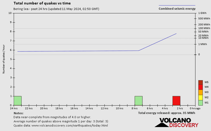
+When was the latest earthquake in or near the Bering Sea?
The last earthquake in or near the Bering Sea occurred 2 hours and 8 minutes ago and had a magnitude of 1.7:
A light magnitude 1.7 earthquake hit 35 km (22 mi) away from Pilot Point, Alaska, ![]() United States, in the afternoon of Sunday, May 12, 2024 at 4.16 pm local time (America/Anchorage GMT -8). The quake had a moderate depth of 99 km (61 mi) and was too small to be felt by people.
United States, in the afternoon of Sunday, May 12, 2024 at 4.16 pm local time (America/Anchorage GMT -8). The quake had a moderate depth of 99 km (61 mi) and was too small to be felt by people.
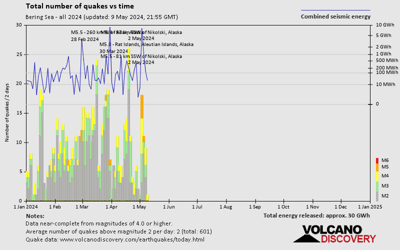
+How many quakes were there in or near the Bering Sea since 2024?
Since 2024, the Bering Sea has had 9 quakes of magnitude 5.0 or above, 83 quakes between 4.0 and 5.0, 127 quakes between 3.0 and 4.0, and 390 quakes between 2.0 and 3.0. There have been also 1,072 quakes below magnitude 2.0 which people don't normally feel.
+What was the strongest quake in or near the Bering Sea since 2024?
The strongest earthquake in or near the Bering Sea since 2024 had a magnitude of 5.8 and occurred 6 weeks ago:
A strong magnitude 5.8 earthquake hit 363 km (226 mi) away from Attu Station, Alaska, ![]() United States, in the afternoon of Saturday, Mar 30, 2024 at 4.28 pm local time (GMT +0). The quake had a moderate depth of 115 km (71 mi) and was not felt (or at least not reported so).
United States, in the afternoon of Saturday, Mar 30, 2024 at 4.28 pm local time (GMT +0). The quake had a moderate depth of 115 km (71 mi) and was not felt (or at least not reported so).
Embed or share standalone map
You can use the standalone version of our interactive earthquake map or embed it on your website:Largest Quakes in or near the Bering Sea
Date and Time | Mag Depth | ###DIST_LABEL### | Location | Details | Map |
|---|


