


Latest quakes in or near Pando, Bolivia - list, stats and map
| Latest See all | Mag. 4.6 earthquake Western Brazil - May 10, 2019 - |
| Strongest since 1900 | Mag. 8.2 La Paz - Bolivia - Jun 8, 1994 - |
- 1 quake above magnitude 8
- 5 quakes between magnitude 7 and 8
Date and Time | Mag Depth | Nearest Volcano | Location | Details | Map |
|---|---|---|---|---|---|
| May 10, 2019 05:01 am (Manaus) | 4.6 10 km | 90 km (56 mi) to the NE | Info | ||
| Wednesday, January 16, 2013 GMT (1 quake) | |||||
| Jan 15, 2013 10:54 pm (Manaus) | 4.4 15 km | 86 km (53 mi) to the NE | Info | ||
| Sunday, March 10, 1996 GMT (1 quake) | |||||
| Mar 10, 1996 03:56 am (Lima) | 5.7 33 km | 99 km (62 mi) to the SW | Info | ||
| Thursday, June 9, 1994 GMT (1 quake) | |||||
| Jun 8, 1994 08:33 pm (La Paz) | 8.2 631 km | 163 km (101 mi) to the S | Info | ||
| Saturday, August 19, 1961 GMT (1 quake) | |||||
| Aug 19, 1961 12:09 am (Lima) | 7.6 612 km | 133 km (83 mi) to the W | Info | ||
| Saturday, July 26, 1958 GMT (1 quake) | |||||
| Jul 26, 1958 12:37 pm (Lima) | 7.5 612 km | 131 km (81 mi) to the SW | Info | ||
| Thursday, August 31, 1961 GMT (1 quake) | |||||
| Aug 30, 1961 08:48 pm (Lima) | 7.2 598 km | 150 km (93 mi) to the W | Info | ||
| Friday, August 24, 2018 GMT (1 quake) | |||||
| Aug 24, 2018 04:04 am (Lima) | 7.0 616 km | 131 km (81 mi) to the W | Info | ||
| Wednesday, October 17, 1990 GMT (1 quake) | |||||
| Oct 17, 1990 09:30 am (Lima) | 7.0 599 km | 131 km (81 mi) to the W | Info | ||
Pando Quake-O-Meter
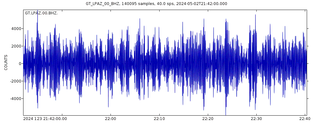
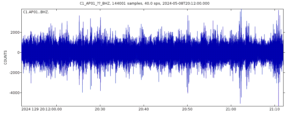
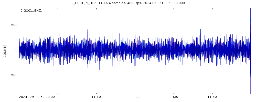
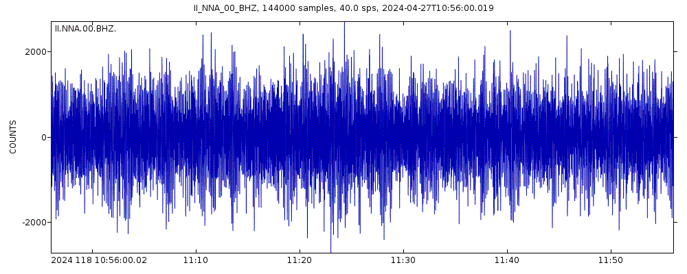
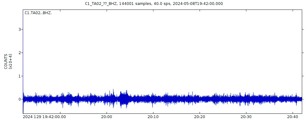
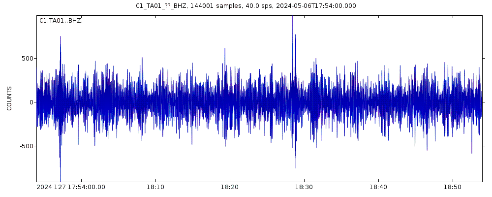
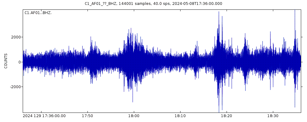
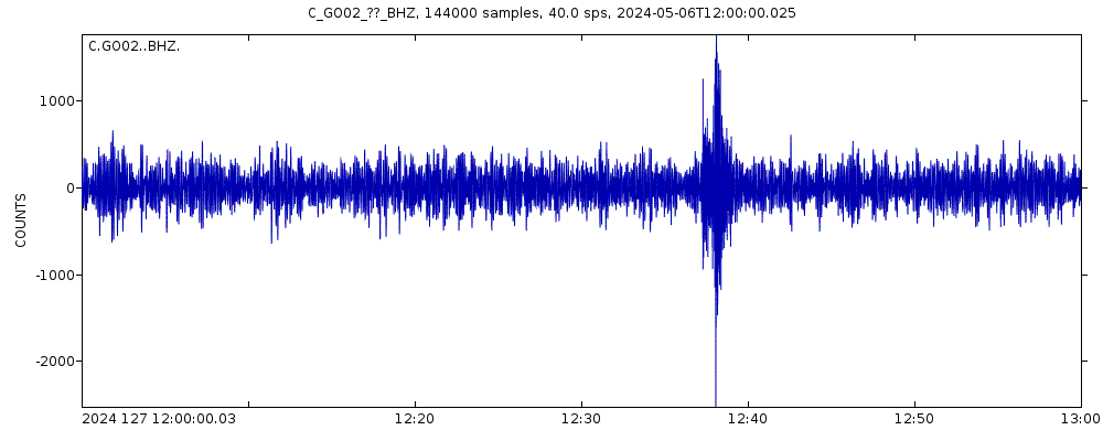
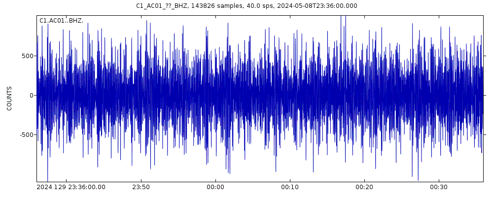
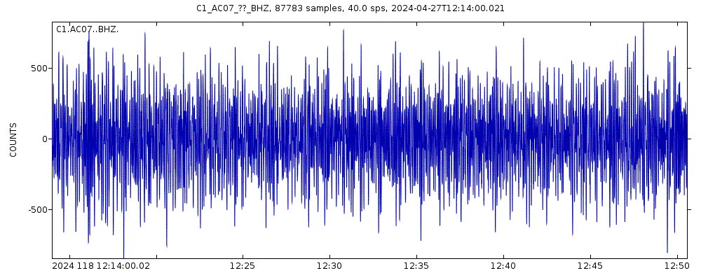
Latest seismic signals
Earthquake Catalog - Look up past earthquakes
| or | ||
Look up quakes! | ||
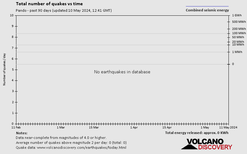
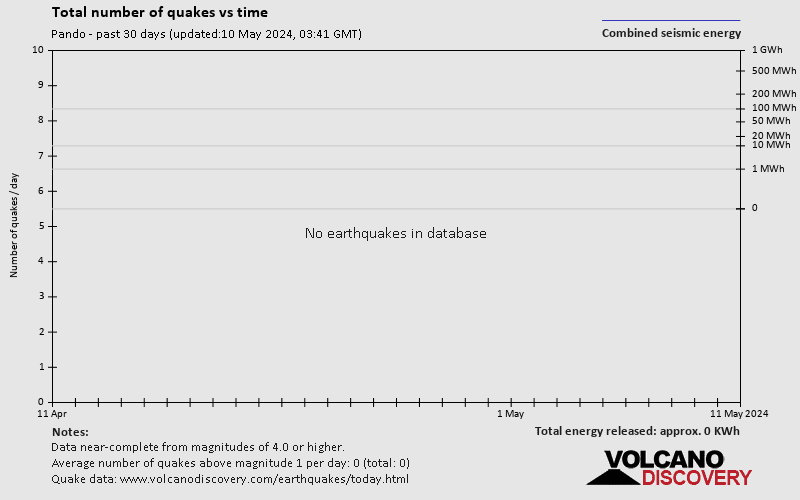
Earthquake statistics
Average number of earthquakes
Number of earthquakes over time


Pando Earthquake FAQ
+When was the latest earthquake in Pando?
The last earthquake in Pando occurred 5 years ago and had a magnitude of 4.6:
A strong magnitude 4.6 earthquake hit 138 km (86 mi) away from Porto Velho, Rondonia, ![]() Brazil, in the early morning of Friday, May 10, 2019 at 5.01 am local time (America/Manaus GMT -4). The quake had a very shallow depth of 10 km (6 mi) and was not felt (or at least not reported so).
Brazil, in the early morning of Friday, May 10, 2019 at 5.01 am local time (America/Manaus GMT -4). The quake had a very shallow depth of 10 km (6 mi) and was not felt (or at least not reported so).
+How many quakes were there in Pando since 1900?
Since 1900, Pando has had 1 quake of magnitude 8.2 and 5 quakes between 7.0 and 8.0.
+What was the strongest quake in Pando since 1900?
The strongest earthquake in Pando since 1900 had a magnitude of 8.2 and occurred 30 years ago:
A powerful magnitude 8.2 earthquake hit 67 km (42 mi) away from Rurrenabaque, El Beni, ![]() Bolivia, in the evening of Wednesday, Jun 8, 1994 at 8.33 pm local time (America/La Paz GMT -4). The quake had a great depth of 631 km (392 mi) .
Bolivia, in the evening of Wednesday, Jun 8, 1994 at 8.33 pm local time (America/La Paz GMT -4). The quake had a great depth of 631 km (392 mi) .
Embed or share standalone map
You can use the standalone version of our interactive earthquake map or embed it on your website:Largest Quakes in or near Pando, Bolivia
Date and Time | Mag Depth | ###DIST_LABEL### | Location | Details | Map |
|---|


