


Latest quakes in or near Dawes, Nebraska, USA - list, stats and map
| Latest See all | Mag. 2.2 earthquake 6 Km W of Hot Springs - South Dakota - Aug 1, 2022 - |
| Strongest since 1970 | Mag. 4.3 Nebraska (USA) - May 7, 1978 - |
- 2 quakes above magnitude 4
- 7 quakes between magnitude 3 and 4
- 3 quakes between magnitude 2 and 3
Date and Time | Mag Depth | Nearest Volcano | Location | Details | Map |
|---|---|---|---|---|---|
| Aug 1, 2022 02:49 am (Denver) | 2.2 5 km | 49 km (30 mi) to the NW | Info | ||
| Monday, June 13, 2022 GMT (1 quake) | |||||
| Jun 13, 2022 10:39 am (Denver) | ? n/a | 43 km (27 mi) to the NW | Info | ||
| Friday, March 26, 2021 GMT (1 quake) | |||||
| Mar 26, 2021 08:52 am (Denver) | 3.4 5 km | 40 km (25 mi) to the NW | Info | ||
| Saturday, February 27, 2021 GMT (1 quake) | |||||
| Feb 27, 2021 01:16 pm (Denver) | 2.6 5 km | 7 km (4.3 mi) to the W | Info | ||
| Thursday, December 12, 2013 GMT (1 quake) | |||||
| Dec 12, 2013 03:43 am (Denver) | 3.5 5 km | 90 km (56 mi) to the N | Info | ||
| Thursday, October 18, 2012 GMT (1 quake) | |||||
| Oct 17, 2012 11:21 pm (Denver) | 3.6 5 km | 70 km (43 mi) to the SE | Info | ||
| Saturday, April 7, 2012 GMT (1 quake) | |||||
| Apr 7, 2012 08:13 am (Denver) | 2.5 0 km | 92 km (57 mi) to the NW | Info | ||
| Monday, January 16, 2012 GMT (1 quake) | |||||
| Jan 16, 2012 07:41 am (Denver) | 3.0 5 km | 57 km (35 mi) to the N | Info | ||
| Saturday, November 19, 2011 GMT (1 quake) | |||||
| Nov 19, 2011 02:28 am (Denver) | 2.8 5 km | Info | |||
| Tuesday, November 15, 2011 GMT (1 quake) | |||||
| Nov 15, 2011 03:31 am (Denver) | 3.3 5 km | 6 km (3.7 mi) to the NW | Info | ||
| Monday, November 14, 2011 GMT (1 quake) | |||||
| Nov 14, 2011 12:51 am (Denver) | 4.0 5 km | 8 km (5 mi) to the NW | Info | ||
Dawes Quake-O-Meter
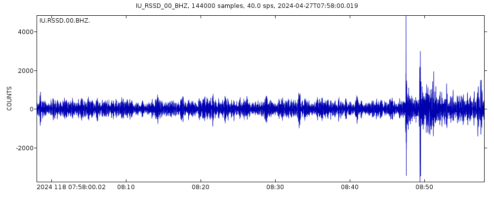
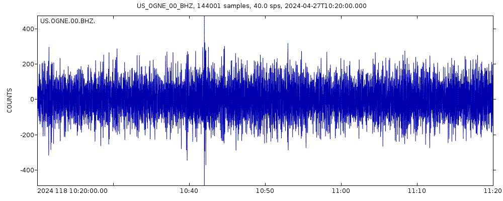
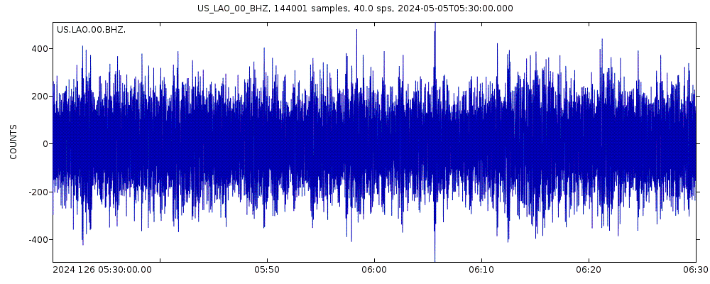
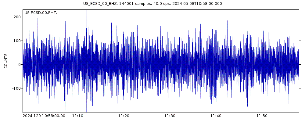
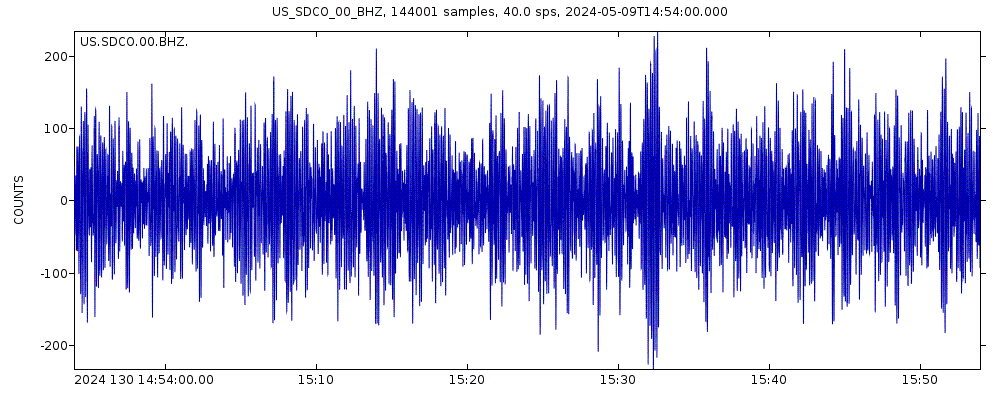
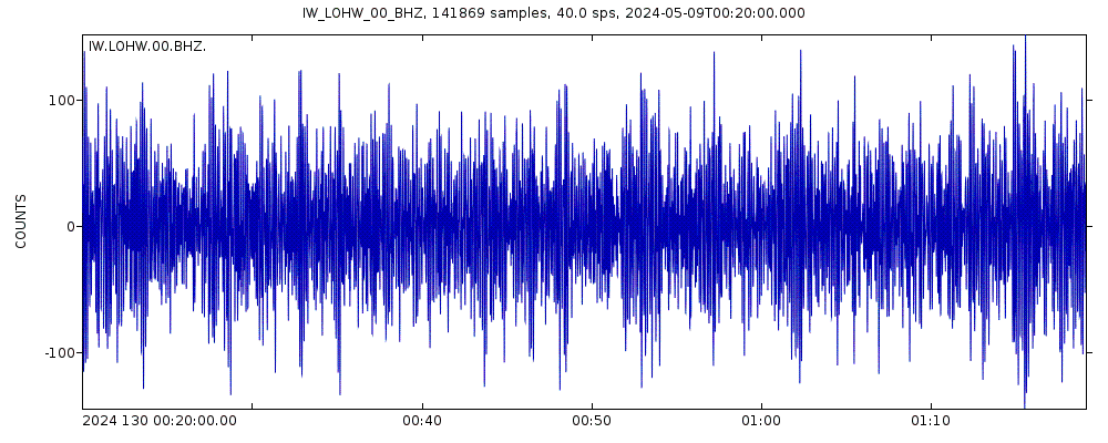
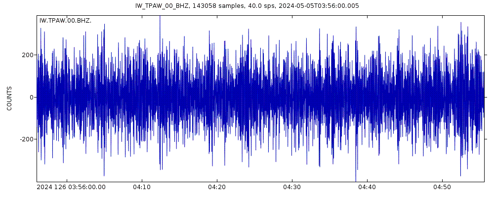
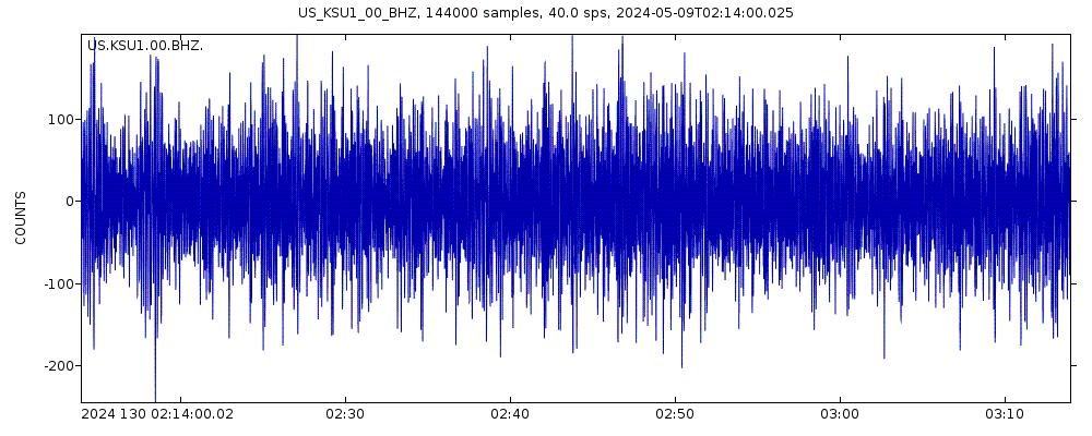
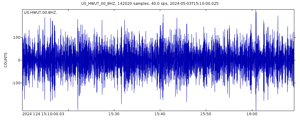
Latest seismic signals

Earthquake Catalog - Look up past earthquakes
| or | ||
Look up quakes! | ||
Earthquake statistics
Average number of earthquakes
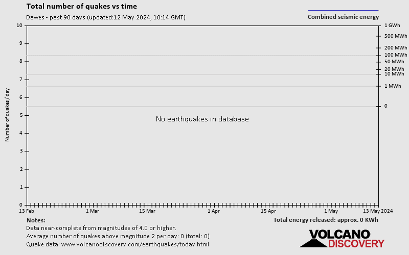
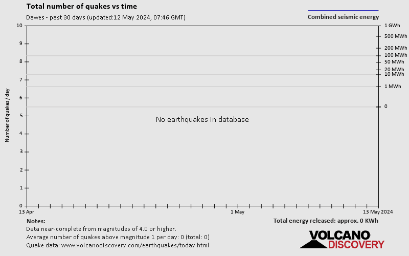
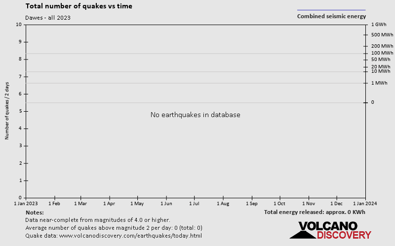
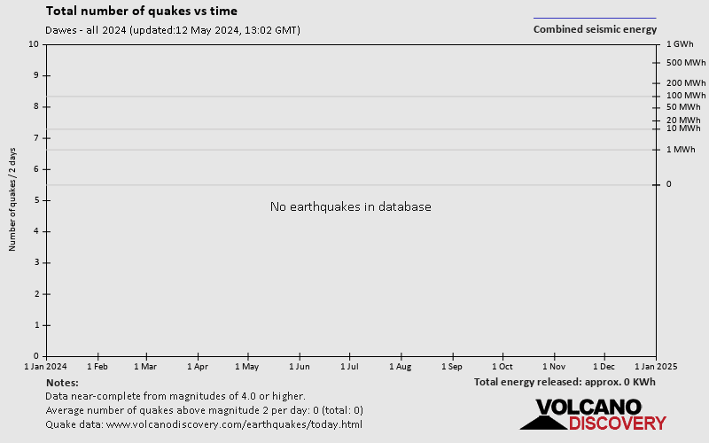
Number of earthquakes over time


Dawes Earthquake FAQ
+When was the latest earthquake in Dawes?
The last earthquake in Dawes occurred 1 year 37 weeks ago and had a magnitude of 2.2:
A light magnitude 2.2 earthquake hit 6.6 km (4.1 mi) away from Hot Springs, South Dakota, ![]() United States, in the early morning of Monday, Aug 1, 2022 at 2.49 am local time (America/Denver GMT -6). The quake had a very shallow depth of 5 km (3.1 mi) and was not felt (or at least not reported so).
United States, in the early morning of Monday, Aug 1, 2022 at 2.49 am local time (America/Denver GMT -6). The quake had a very shallow depth of 5 km (3.1 mi) and was not felt (or at least not reported so).
+How many quakes were there in Dawes since 1970?
Since 1970, Dawes has had 2 quakes of magnitude 4.0 or above, 7 quakes between 3.0 and 4.0, and 3 quakes between 2.0 and 3.0.
+What was the strongest quake in Dawes since 1970?
The strongest earthquake in Dawes since 1970 had a magnitude of 4.3 and occurred 46 years ago:
A moderate magnitude 4.3 earthquake hit 224 km (139 mi) away from Rapid City, South Dakota, ![]() United States, in the morning of Sunday, May 7, 1978 at 10.06 am local time (America/Denver GMT -6). The quake had a very shallow depth of 15 km (9 mi) .
United States, in the morning of Sunday, May 7, 1978 at 10.06 am local time (America/Denver GMT -6). The quake had a very shallow depth of 15 km (9 mi) .
Embed or share standalone map
You can use the standalone version of our interactive earthquake map or embed it on your website:Largest Quakes in or near Dawes, Nebraska, USA
Date and Time | Mag Depth | ###DIST_LABEL### | Location | Details | Map |
|---|


