


Latest quakes in or near Musselshell, Montana, USA - list, stats and map
| Latest See all | Mag. 3.2 earthquake Eastern Montana - Jul 21, 2023 - |
| Strongest since 1970 | Mag. 4.1 54 mi northeast of Billings Metropolitan Area - Montana, United States - Jul 6, 2021 - |
- 2 quakes above magnitude 4
- 1 quake between magnitude 2 and 3
Date and Time | Mag Depth | Nearest Volcano | Location | Details | Map |
|---|---|---|---|---|---|
| Jul 21, 2023 01:57 pm (Denver) | 3.2 5 km | 70 km (43 mi) to the S | Info | ||
| Tuesday, July 6, 2021 GMT (1 quake) | |||||
| Jul 6, 2021 05:44 am (Denver) | 4.1 10 km | 4 km (2.5 mi) to the E | Info | ||
| Monday, January 6, 2020 GMT (1 quake) | |||||
| Jan 6, 2020 02:39 pm (Denver) | 3.1 2 km | 92 km (57 mi) to the SE | Info | ||
| Tuesday, May 28, 2019 GMT (1 quake) | |||||
| May 28, 2019 02:20 pm (Denver) | 2.9 0 km | 95 km (59 mi) to the SE | Info | ||
| Wednesday, August 15, 2018 GMT (1 quake) | |||||
| Aug 15, 2018 11:58 am (Denver) | 2.7 0 km | 94 km (58 mi) to the SE | Info | ||
| Friday, August 25, 2017 GMT (1 quake) | |||||
| Aug 25, 2017 01:36 pm (Denver) | 3.1 0 km | 99 km (62 mi) to the SE | Info | ||
| Monday, May 22, 2017 GMT (1 quake) | |||||
| May 22, 2017 12:59 pm (Denver) | 3.0 0 km | 99 km (62 mi) to the SE | Info | ||
| Wednesday, April 19, 2017 GMT (1 quake) | |||||
| Apr 19, 2017 01:08 pm (Denver) | 3.3 0 km | 100 km (62 mi) to the SE | Info | ||
| Wednesday, February 15, 2017 GMT (1 quake) | |||||
| Feb 15, 2017 11:50 am (Denver) | 2.6 0 km | 80 km (50 mi) to the SE | Info | ||
| Thursday, February 9, 2017 GMT (1 quake) | |||||
| Feb 9, 2017 01:51 am (Denver) | 2.2 14 km | 85 km (53 mi) to the N | Info | ||
| Tuesday, November 1, 2016 GMT (1 quake) | |||||
| Nov 1, 2016 05:03 pm (Denver) | 3.0 0 km | 98 km (61 mi) to the SE | Info | ||
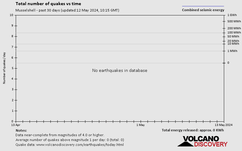
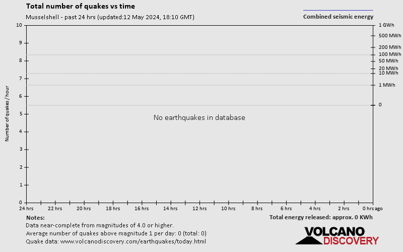
Musselshell Quake-O-Meter
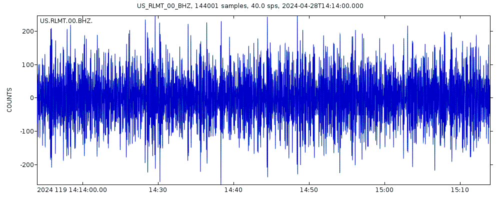
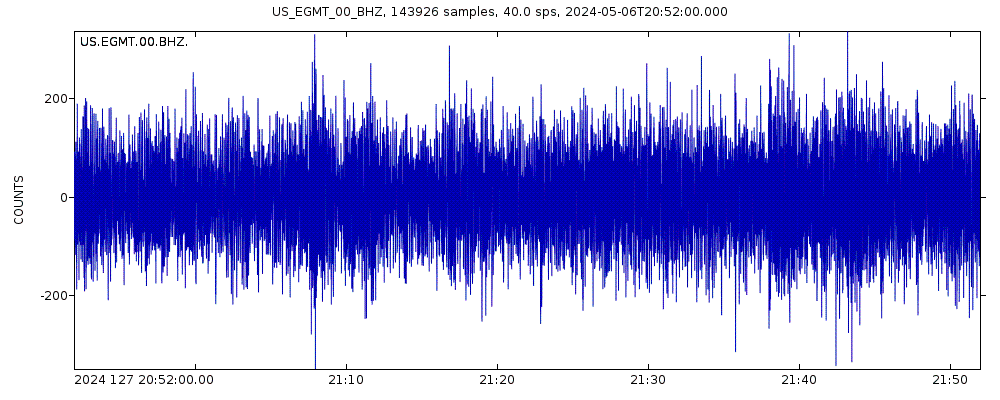
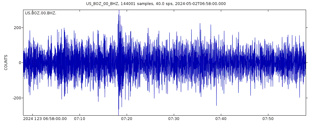
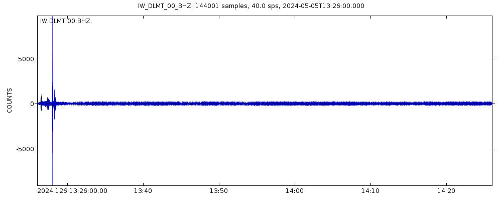
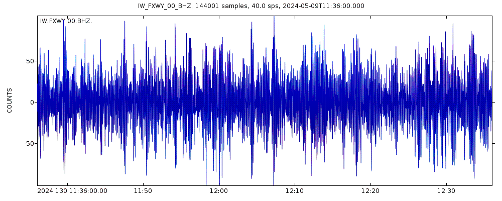
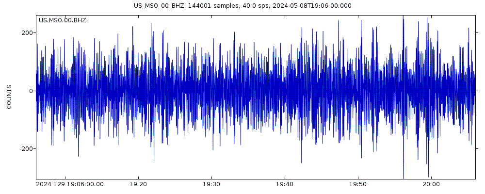
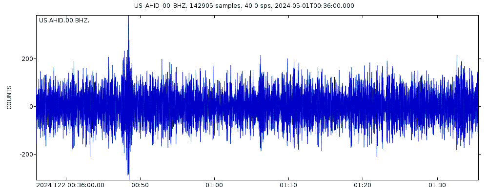
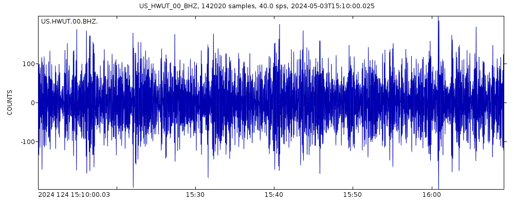
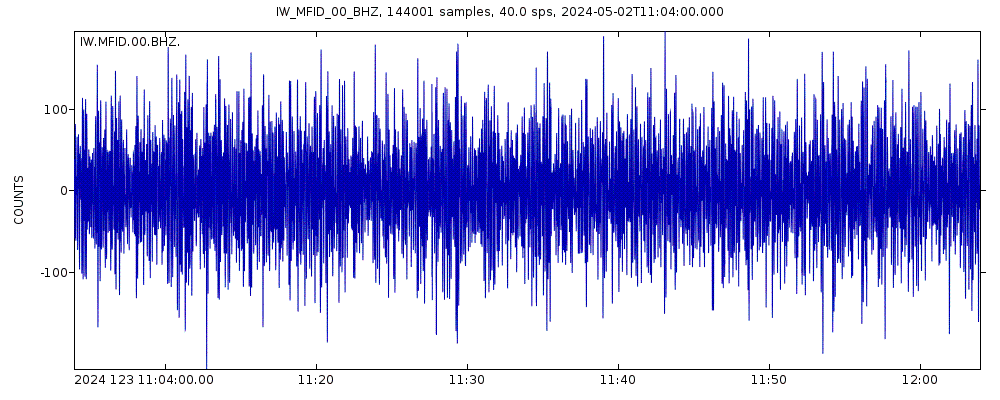
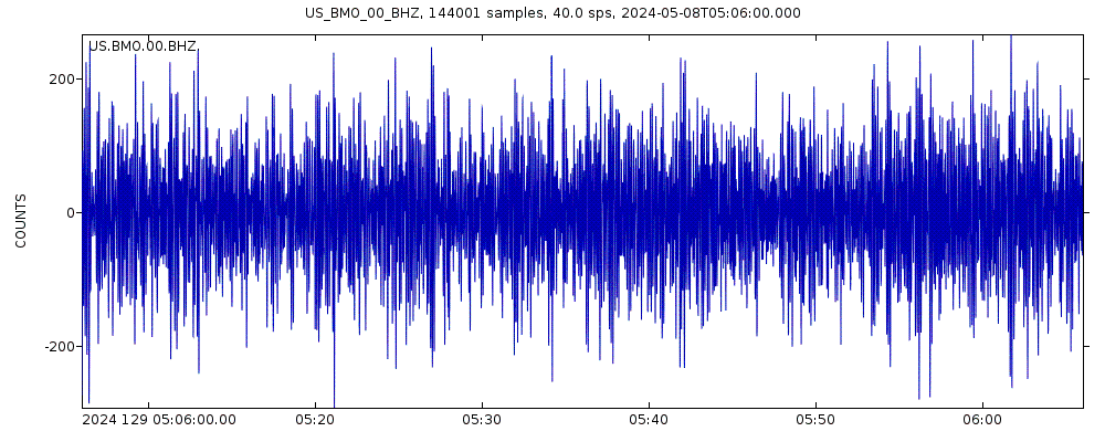
Latest seismic signals
Earthquake Catalog - Look up past earthquakes
| or | ||
Look up quakes! | ||
Earthquake statistics
Average number of earthquakes
Number of earthquakes over time


Musselshell Earthquake FAQ
+When was the latest earthquake in Musselshell?
The last earthquake in Musselshell occurred 39 weeks ago and had a magnitude of 3.2:
A light magnitude 3.2 earthquake hit 42 km (26 mi) away from Billings Metropolitan Area, Montana, ![]() United States, around noon of Friday, Jul 21, 2023 at 1.57 pm local time (America/Denver GMT -6). The quake had a very shallow depth of 5 km (3.1 mi) and was reported felt by some people near the epicenter.
United States, around noon of Friday, Jul 21, 2023 at 1.57 pm local time (America/Denver GMT -6). The quake had a very shallow depth of 5 km (3.1 mi) and was reported felt by some people near the epicenter.
+How many quakes were there in Musselshell since 1970?
Since 1970, Musselshell has had 2 quakes of magnitude 4.0 or above and 1 quake of magnitude.
+What was the strongest quake in Musselshell since 1970?
The strongest earthquake in Musselshell since 1970 had a magnitude of 4.1 and occurred 3 years ago:
A moderate magnitude 4.1 earthquake hit 87 km (54 mi) away from Billings Metropolitan Area, Montana, ![]() United States, in the early morning of Tuesday, Jul 6, 2021 at 5.44 am local time (America/Denver GMT -6). The quake had a very shallow depth of 10 km (6 mi) and was reported felt by some people near the epicenter.
United States, in the early morning of Tuesday, Jul 6, 2021 at 5.44 am local time (America/Denver GMT -6). The quake had a very shallow depth of 10 km (6 mi) and was reported felt by some people near the epicenter.
Embed or share standalone map
You can use the standalone version of our interactive earthquake map or embed it on your website:Largest Quakes in or near Musselshell, Montana, USA
Date and Time | Mag Depth | ###DIST_LABEL### | Location | Details | Map |
|---|


