


Latest quakes in or around the Indian Ocean in the past 24 hours on Thursday, April 18, 2024 - list, stats and map
| Latest today See all | Mag. 2.1 earthquake Sultan Kudarat - 37 km northeast of Koronadal, Philippines - |
| Strongest today | Mag. 4.9 Java Sea - East Java, Indonesia - |
- 8 quakes above magnitude 4
- 11 quakes between magnitude 3 and 4
- 18 quakes between magnitude 2 and 3
- 15 quakes below magnitude 2 that people normally don't feel.
Date and Time | Mag Depth | Nearest Volcano | Location | Details | Map |
|---|---|---|---|---|---|
| Apr 18, 08:09 am (Manila) | 2.1 28 km | Info | |||
| Wednesday, April 17, 2024 GMT (51 quakes) | |||||
| Apr 18, 02:38 am (GMT +3) | 2.1 23 km | Info | |||
| Apr 18, 05:44 am (Jakarta) | 2.4 10 km | Info | |||
| Apr 18, 05:39 am (Pontianak) | 2.5 82 km | Info | |||
| Apr 18, 06:13 am (GMT +8) | 2.6 15 km | Info | |||
| Apr 18, 07:12 am (Jayapura) | 3.0 13 km | Info | |||
| Apr 18, 05:15 am (GMT +8) | 3.9 174 km | Info | |||
| Apr 17, 08:34 pm (Universal Time) | 4.1 268 km | Info | |||
| Apr 18, 04:24 am (Makassar) | 2.3 10 km | Info | |||
| Apr 18, 05:17 am (Jayapura) | 3.2 10 km | Info | |||
| Apr 18, 04:10 am (GMT +8) | 2.5 33 km | Info | |||
Indian Ocean Quake-O-Meter
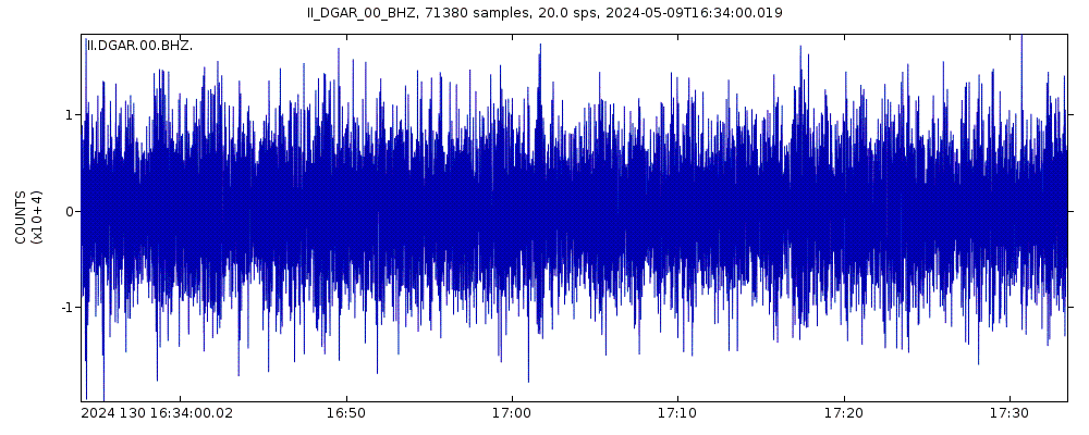
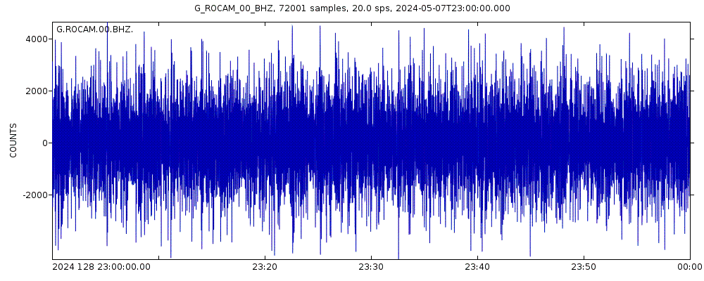
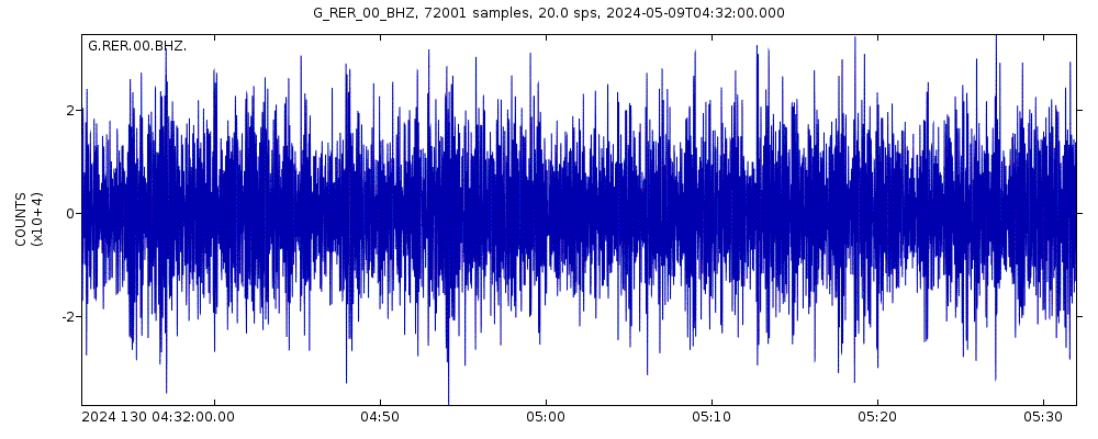
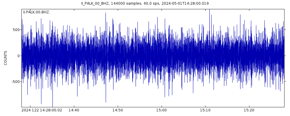
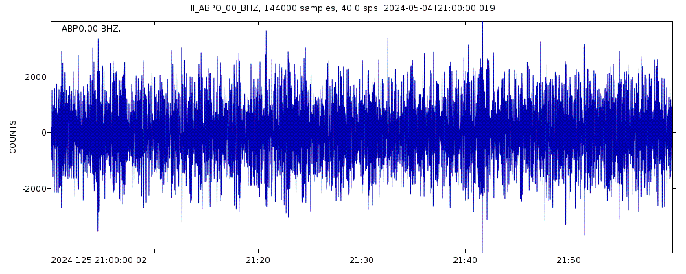
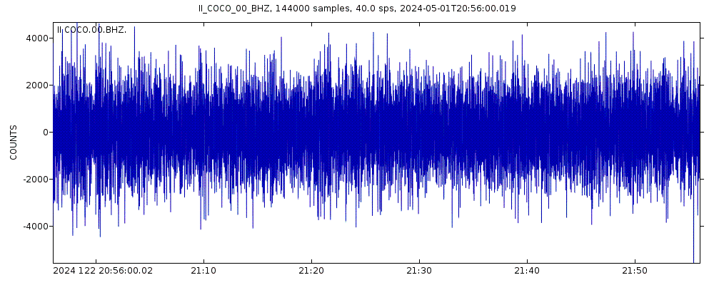
Latest seismic signals
Earthquake Catalog - Look up past earthquakes
| or | ||
Look up quakes! | ||
Earthquake statistics
Average number of earthquakes
- Mag. 8 or higher: 0.23 quakes per year (or 1 quake every 4.3 years)
- Mag. 7 or higher: 3.4 quakes per year
- Mag. 6 or higher: 30.5 quakes per year (or 2.5 quakes per month)
- Mag. 5 or higher: 366 quakes per year (or 30.5 quakes per month)
- Mag. 4 or higher: 3,200 quakes per year (or 8.7 quakes per day)
- Mag. 3 or higher: 8,800 quakes per year (or 24.2 quakes per day)
- Mag. 2 or higher: 16,000 quakes per year (or 43 quakes per day)
- Mag. 1 or higher: 18,000 quakes per year (or 48 quakes per day)
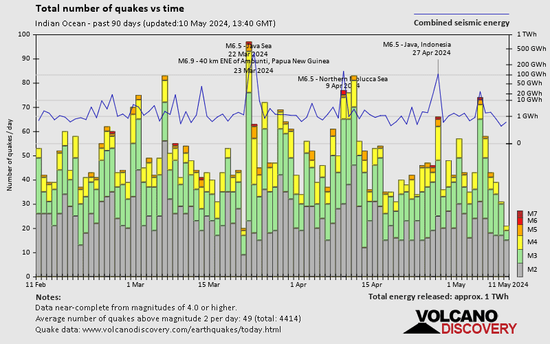
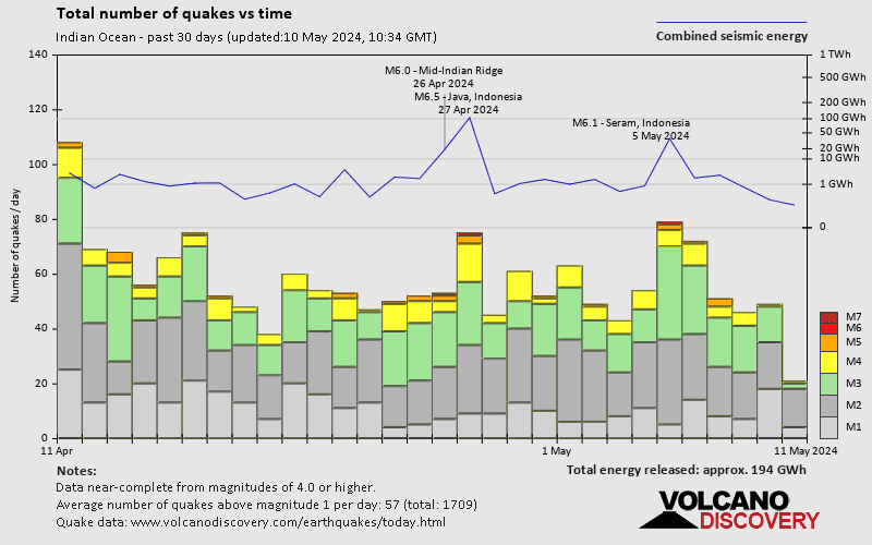
Number of earthquakes over time
Indian Ocean Earthquake FAQ
+How frequent are earthquakes in or around the Indian Ocean?
Indian Ocean has a high level of seismic activity. Based on data from the past 14 years and our earthquake archive back to 1900, there are about 18,000 quakes on average per year in or around the Indian Ocean. Indian Ocean has had at least 2 quakes above magnitude 9 since 1900, which suggests that larger earthquakes of this size occur infrequently, probably on average approximately every 60 to 65 years.
+When was the latest earthquake in or around the Indian Ocean?
The last earthquake in or around the Indian Ocean occurred 40 minutes ago and had a magnitude of 2.1:
A light magnitude 2.1 earthquake hit 37 km (23 mi) away from Koronadal, Soccsksargen, ![]() Philippines, in the morning of Thursday, Apr 18, 2024 at 8.09 am local time (Asia/Manila GMT +8). The quake had a very shallow depth of 28 km (17 mi) and was not felt (or at least not reported so).
Philippines, in the morning of Thursday, Apr 18, 2024 at 8.09 am local time (Asia/Manila GMT +8). The quake had a very shallow depth of 28 km (17 mi) and was not felt (or at least not reported so).
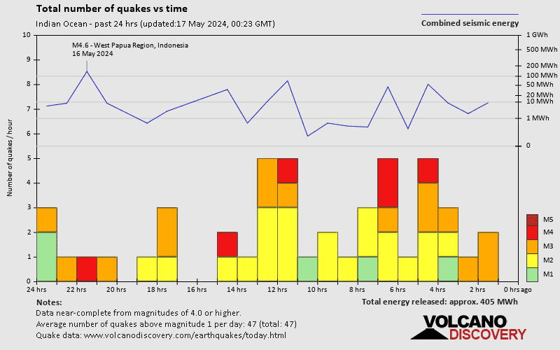
+How many quakes were there in or around the Indian Ocean in the past 24 hours?
In the past 24 hours, the Indian Ocean has had 8 quakes of magnitude 4.0 or above, 11 quakes between 3.0 and 4.0, and 18 quakes between 2.0 and 3.0. There were also 15 quakes below magnitude 2.0 which people don't normally feel.
+What was the strongest quake in or around the Indian Ocean in the past 24 hours?
The strongest earthquake in or around the Indian Ocean in the past 24 hours had a magnitude of 4.9 and occurred 17 hours ago:
A strong magnitude 4.9 earthquake occurred in the Java Sea near Bawean Island island, Indonesia, in the early afternoon of Wednesday, Apr 17, 2024 at 3.15 pm local time (GMT +7). The quake had a very shallow depth of 10 km (6 mi) and was felt by many near the epicenter.
Embed or share standalone map
You can use the standalone version of our interactive earthquake map or embed it on your website:Largest Quakes in or around the Indian Ocean
Date and Time | Mag Depth | ###DIST_LABEL### | Location | Details | Map |
|---|


