


Latest quakes in or near Cercado, Tarija, Bolivia - list, stats and map
| Latest See all | Mag. 4.5 earthquake 9 km northwest of Yacuiba - Tarija, Bolivia - Nov 23, 2022 - |
| Strongest since 1970 | Mag. 5.9 Tarija - Bolivia - Jul 1, 1974 - |
Date and Time | Mag Depth | Nearest Volcano | Location | Details | Map |
|---|---|---|---|---|---|
| Nov 23, 2022 05:21 am (La Paz) | 4.5 533 km | Info | |||
| Monday, September 12, 2022 GMT (1 quake) | |||||
| Sep 11, 2022 09:12 pm (La Paz) | 4.4 67 km | Info | |||
| Monday, August 3, 2015 GMT (1 quake) | |||||
| Aug 3, 2015 12:18 am (La Paz) | 4.1 538 km | Info | |||
| Monday, January 21, 2013 GMT (1 quake) | |||||
| Jan 21, 2013 02:22 pm (La Paz) | 4.2 49 km | Info | |||
| Thursday, August 9, 2012 GMT (1 quake) | |||||
| Aug 9, 2012 03:53 am (La Paz) | 4.2 531 km | Info | |||
| Monday, July 23, 2012 GMT (1 quake) | |||||
| Jul 23, 2012 04:51 pm (La Paz) | 4.0 624 km | Info | |||
| Friday, January 7, 2011 GMT (1 quake) | |||||
| Jan 7, 2011 12:55 am (La Paz) | 5.1 290 km | Info | |||
| Sunday, March 5, 2006 GMT (1 quake) | |||||
| Mar 5, 2006 06:48 am (Universal Time) | 3.9 319 km | Info | |||
| Saturday, May 4, 2002 GMT (1 quake) | |||||
| May 4, 2002 12:20 am (Universal Time) | 4.1 545 km | Info | |||
| Monday, June 25, 2001 GMT (1 quake) | |||||
| Jun 25, 2001 09:57 am (Universal Time) | 5.1 33 km | Info | |||
| Monday, February 16, 1987 GMT (1 quake) | |||||
| Feb 16, 1987 07:14 pm (La Paz) | 4.5 536 km | Info | |||
Cercado Quake-O-Meter
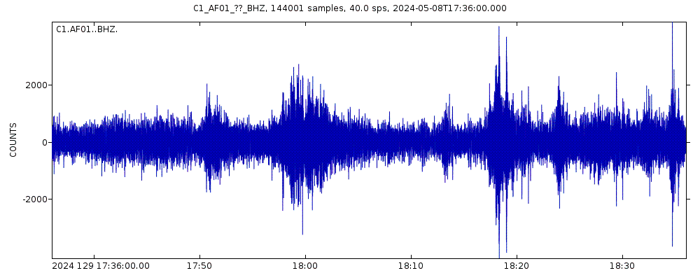
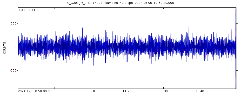
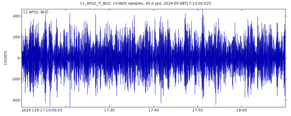
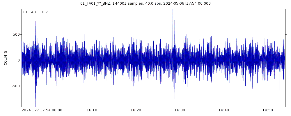
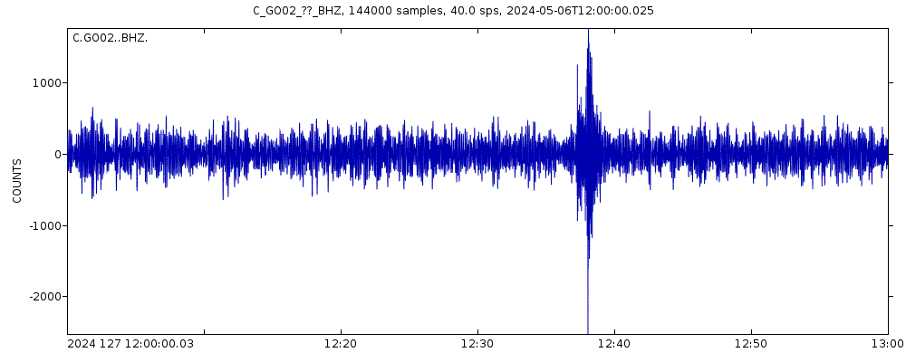
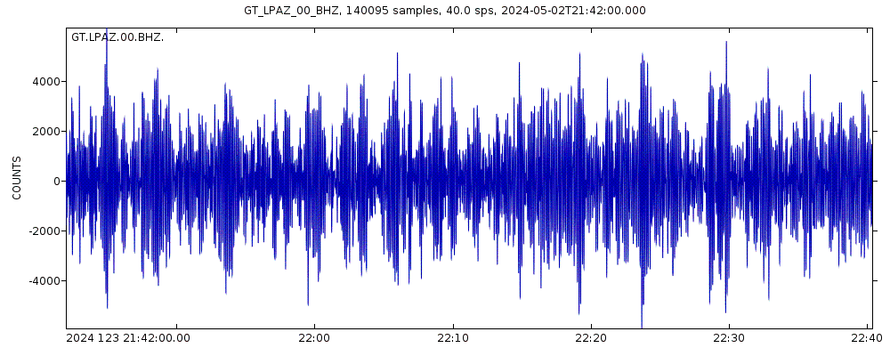
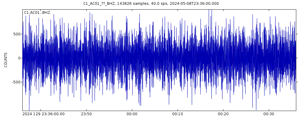
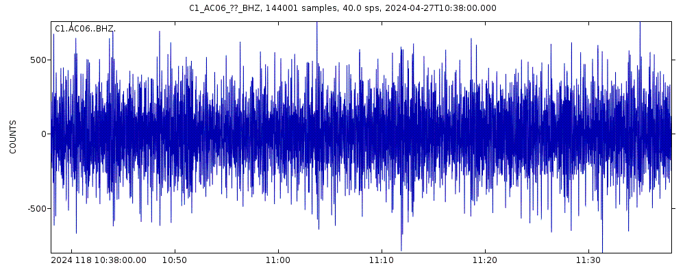
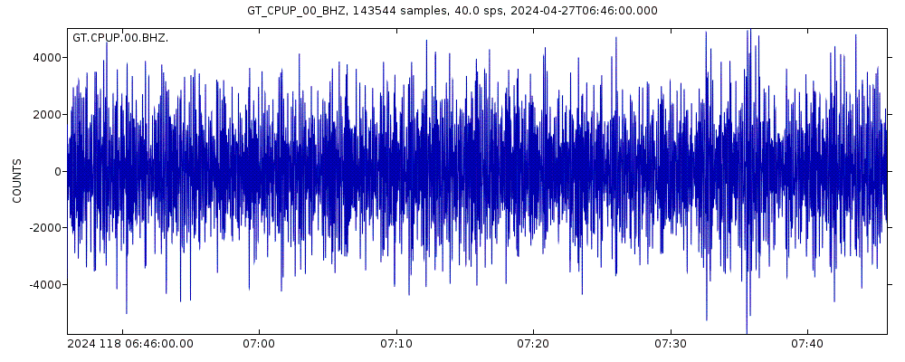
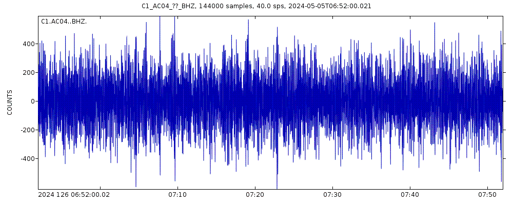
Latest seismic signals
Earthquake Catalog - Look up past earthquakes
| or | ||
Look up quakes! | ||
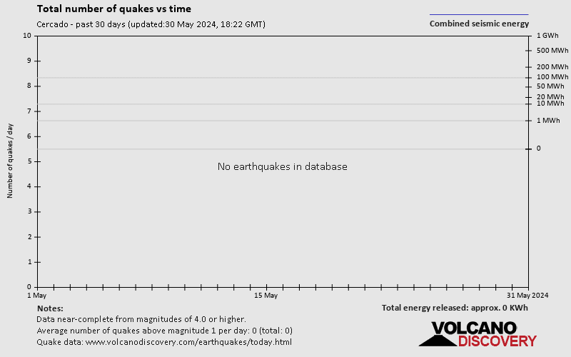
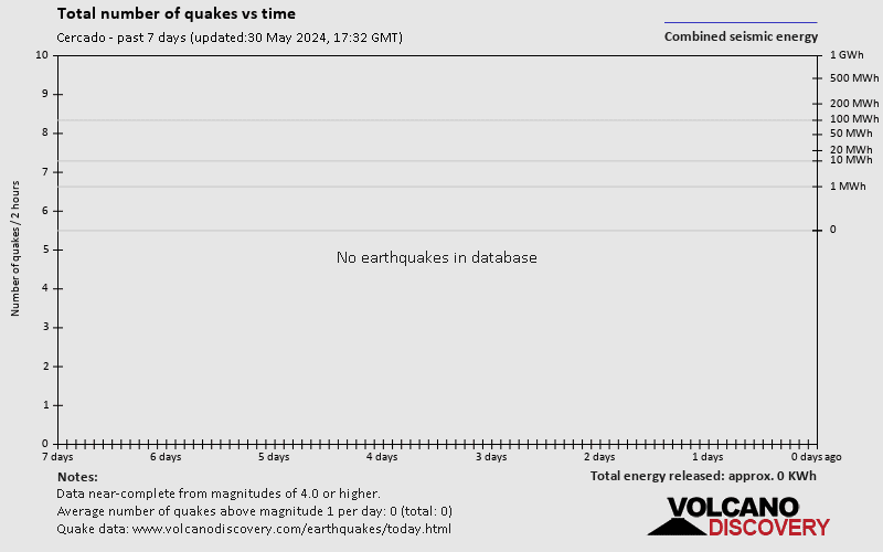
Earthquake statistics
Average number of earthquakes
Number of earthquakes over time


Cercado Earthquake FAQ
+When was the latest earthquake in Cercado?
The last earthquake in Cercado occurred 1 year 22 weeks ago and had a magnitude of 4.5:
A moderate magnitude 4.5 earthquake hit 9 km (5.6 mi) away from Yacuiba, Tarija, ![]() Bolivia, in the early morning of Wednesday, Nov 23, 2022 at 5.21 am local time (America/La Paz GMT -4). The quake had a great depth of 533 km (331 mi) and was not felt (or at least not reported so).
Bolivia, in the early morning of Wednesday, Nov 23, 2022 at 5.21 am local time (America/La Paz GMT -4). The quake had a great depth of 533 km (331 mi) and was not felt (or at least not reported so).
+How many quakes were there in Cercado since 1970?
There was one earthquake of magnitude 5.9 in or near Cercado since 1970.
+What was the strongest quake in Cercado since 1970?
The strongest earthquake in Cercado since 1970 had a magnitude of 5.9 and occurred 50 years ago:
A strong magnitude 5.9 earthquake hit 67 km (41 mi) away from Tarija, Tarija, ![]() Bolivia, around noon of Monday, Jul 1, 1974 at 12.51 pm local time (America/La Paz GMT -4). The quake had a very shallow depth of 13 km (8 mi) .
Bolivia, around noon of Monday, Jul 1, 1974 at 12.51 pm local time (America/La Paz GMT -4). The quake had a very shallow depth of 13 km (8 mi) .
Embed or share standalone map
You can use the standalone version of our interactive earthquake map or embed it on your website:Largest Quakes in or near Cercado, Tarija, Bolivia
Date and Time | Mag Depth | ###DIST_LABEL### | Location | Details | Map |
|---|


