Latest quakes in or near Angaur Island, State of Angaur, Palau - list, stats and map
| Latest See all | Mag. 4.6 earthquake Palau Region - Sep 27, 2021 - |
| Strongest since 1970 | Mag. 6.0 W. Caroline Islands - Micronesia, Palau - Dec 24, 2020 - |
- 0 quakes above magnitude 6
- 1 quake between magnitude 5 and 6
- 3 quakes between magnitude 4 and 5
Date and Time | Mag Depth | Nearest Volcano | Location | Details | Map |
|---|---|---|---|---|---|
| Aug 14, 2022 06:28 pm (Palau) | ? n/a | Info | |||
| Sunday, September 26, 2021 GMT (1 quake) | |||||
| Sep 27, 2021 05:20 am (GMT +9) | 4.6 10 km | Info | |||
| Wednesday, December 23, 2020 GMT (1 quake) | |||||
| Dec 24, 2020 03:11 am (Palau) | 6.0 10 km | Info | |||
| Thursday, June 25, 2020 GMT (1 quake) | |||||
| Jun 26, 2020 03:59 am (Palau) | 5.0 18 km | Info | |||
| Wednesday, November 15, 2017 GMT (1 quake) | |||||
| Nov 16, 2017 06:19 am (Palau) | 4.8 10 km | Info | |||
| Sunday, November 30, 2014 GMT (1 quake) | |||||
| Dec 1, 2014 12:24 am (GMT +9) | 4.8 10 km | Info | |||
| Wednesday, April 3, 2013 GMT (1 quake) | |||||
| Apr 4, 2013 07:48 am (GMT +9) | 4.5 16 km | Info | |||
| Monday, October 31, 2005 GMT (1 quake) | |||||
| Nov 1, 2005 01:56 am (GMT +9) | 4.2 10 km | Info | |||
| Wednesday, September 19, 2001 GMT (1 quake) | |||||
| Sep 20, 2001 03:16 am (GMT +9) | 4.3 33 km | Info | |||
| Tuesday, April 18, 1995 GMT (1 quake) | |||||
| Apr 19, 1995 04:01 am (Palau) | 5.3 33 km | Info | |||
| Saturday, September 18, 1993 GMT (1 quake) | |||||
| Sep 18, 1993 08:17 pm (GMT +9) | 5.2 22 km | Info | |||
Angaur Quake-O-Meter
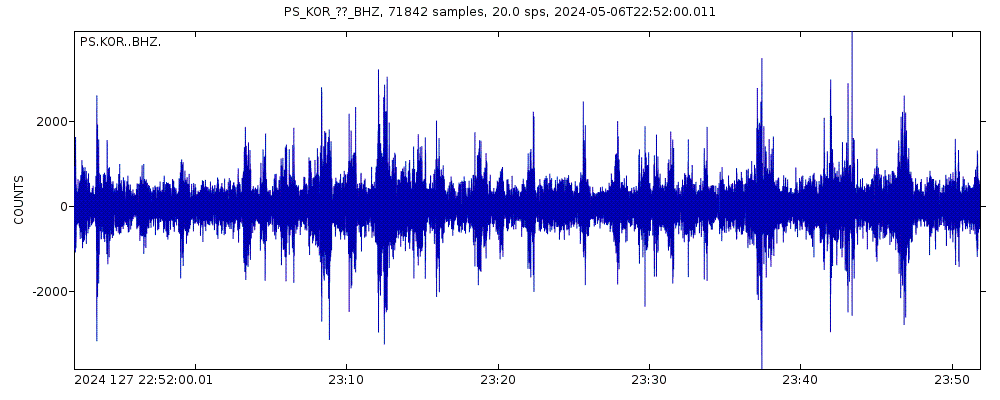
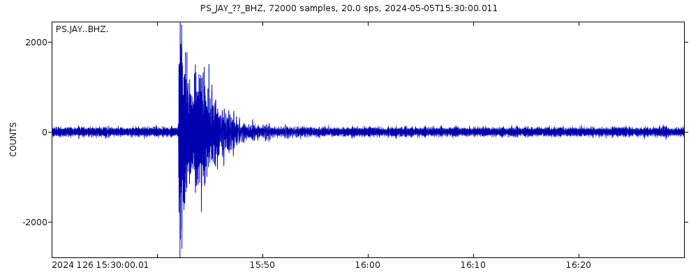
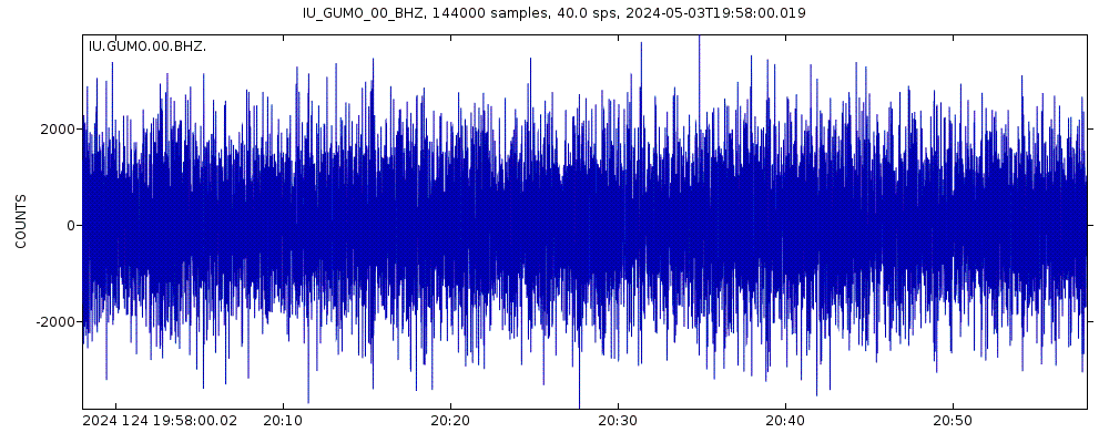
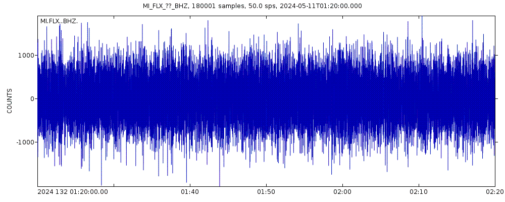
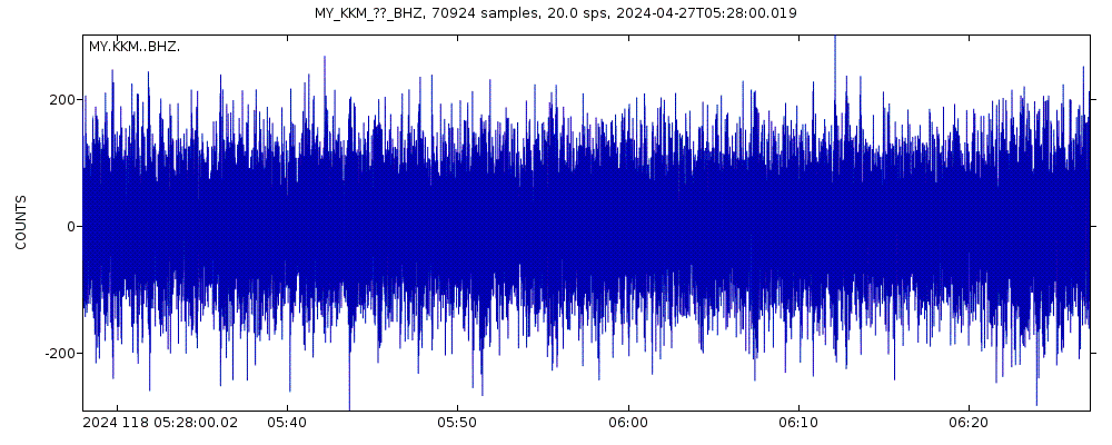
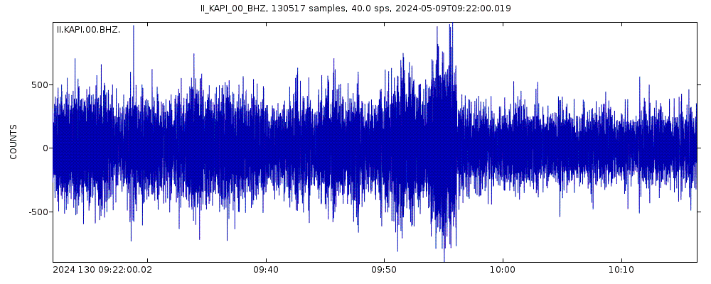
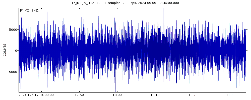
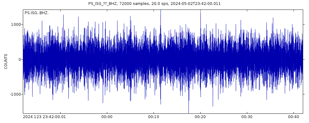
Latest seismic signals


Earthquake Catalog - Look up past earthquakes
| or | ||
Look up quakes! | ||
Earthquake statistics
Average number of earthquakes
Number of earthquakes over time


Angaur Earthquake FAQ
+When was the latest earthquake in Angaur?
The last earthquake in Angaur occurred 3 years ago and had a magnitude of 4.6:
A strong magnitude 4.6 earthquake occurred in the Philippine Sea near the coast of ![]() Palau in the early morning of Monday, Sep 27, 2021 at 5.20 am local time (GMT +9). The quake had a very shallow depth of 10 km (6 mi) and was not felt (or at least not reported so).
Palau in the early morning of Monday, Sep 27, 2021 at 5.20 am local time (GMT +9). The quake had a very shallow depth of 10 km (6 mi) and was not felt (or at least not reported so).
+How many quakes were there in Angaur since 1970?
Since 1970, Angaur has had 0 quakes of magnitude 6.0 or above, 1 quake of magnitude 5.0, and 3 quakes between 4.0 and 5.0.
+What was the strongest quake in Angaur since 1970?
The strongest earthquake in Angaur since 1970 had a magnitude of 6.0 and occurred 3 years ago:
A very strong magnitude 6.0 earthquake occurred in the Philippine Sea near the coast of ![]() Palau in the early morning of Thursday, Dec 24, 2020 at 3.11 am local time (Pacific/Palau GMT +9). The quake had a very shallow depth of 10 km (6 mi) and was felt widely in the area.
Palau in the early morning of Thursday, Dec 24, 2020 at 3.11 am local time (Pacific/Palau GMT +9). The quake had a very shallow depth of 10 km (6 mi) and was felt widely in the area.
Embed or share standalone map
You can use the standalone version of our interactive earthquake map or embed it on your website:Largest Quakes in or near Angaur, State of Angaur, Palau
Date and Time | Mag Depth | ###DIST_LABEL### | Location | Details | Map |
|---|