


Latest quakes in or near Manisa, Turkey - list, stats and map
| Latest See all | Mag. 1.5 earthquake 13 km southeast of Kemer - Balikesir, Turkey - |
| Strongest past 7 days | Mag. 4.3 Samos - North Aegean, Greece - |
- 0 quakes above magnitude 4
- 2 quakes between magnitude 3 and 4
- 4 quakes between magnitude 2 and 3
- 13 quakes below magnitude 2 that people normally don't feel.
Date and Time | Mag Depth | Nearest Volcano | Location | Details | Map |
|---|---|---|---|---|---|
| Apr 25, 09:28 am (Istanbul) | 1.5 7 km | 32 km (20 mi) to the NW | Info | ||
| Wednesday, April 24, 2024 GMT (4 quakes) | |||||
| Apr 24, 09:48 pm (Istanbul) | 1.3 7 km | 23 km (14 mi) to the N | Info | ||
| Apr 24, 06:06 pm (Istanbul) | 1.2 7 km | 27 km (17 mi) to the N | Info | ||
| Apr 24, 01:06 pm (Istanbul) | 1.7 13 km | Info | |||
| Apr 24, 12:59 pm (Istanbul) | 1.5 5 km | 13 km (8.1 mi) to the SW | Info | ||
| Tuesday, April 23, 2024 GMT (3 quakes) | |||||
| Apr 24, 01:48 am (Istanbul) | 1.4 7 km | 24 km (15 mi) to the N | Info | ||
| Apr 23, 05:12 pm (Athens) | 2.3 10 km | 82 km (51 mi) to the SW | Info | ||
| Apr 23, 03:43 am (Istanbul) | 1.4 6.9 km | 35 km (22 mi) to the W | Info | ||
| Monday, April 22, 2024 GMT (11 quakes) | |||||
| Apr 22, 04:48 pm (Istanbul) | 2.0 8.8 km | 49 km (30 mi) to the NE | Info | ||
| Apr 22, 04:24 pm (Istanbul) | 1.5 9.9 km | 26 km (16 mi) to the SW | Info | ||
| Apr 22, 01:28 pm (Istanbul) | 1.3 11 km | Info | |||
Manisa Quake-O-Meter
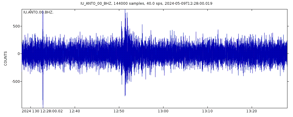
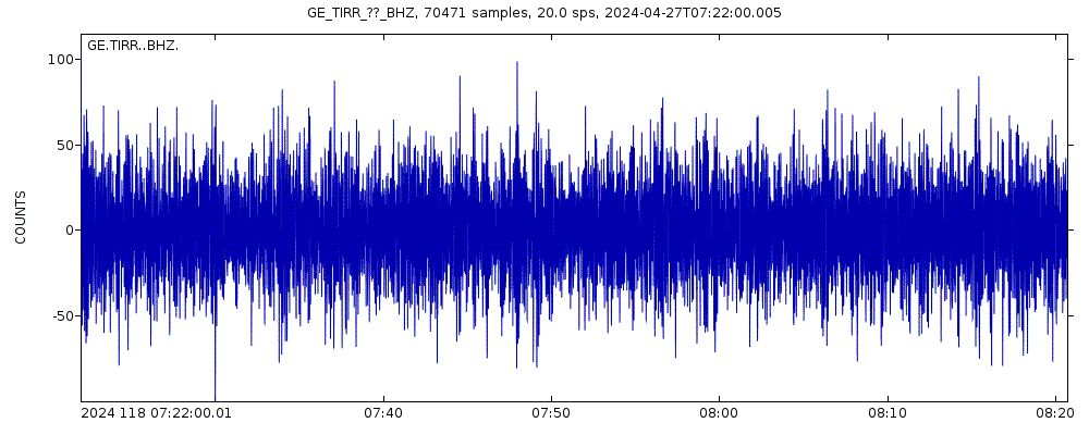
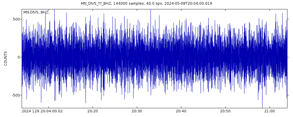
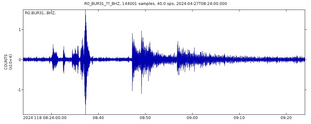
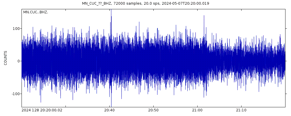
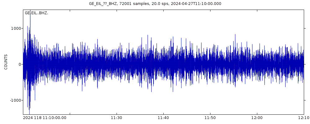
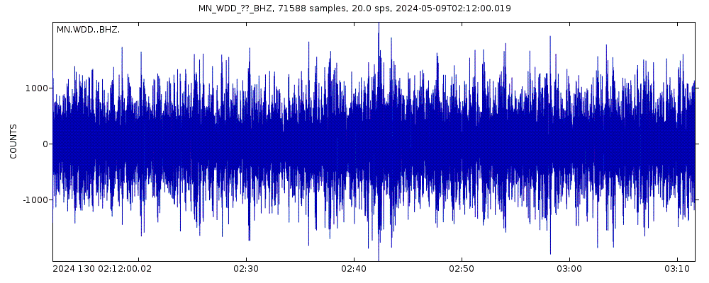
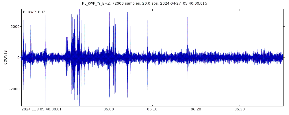
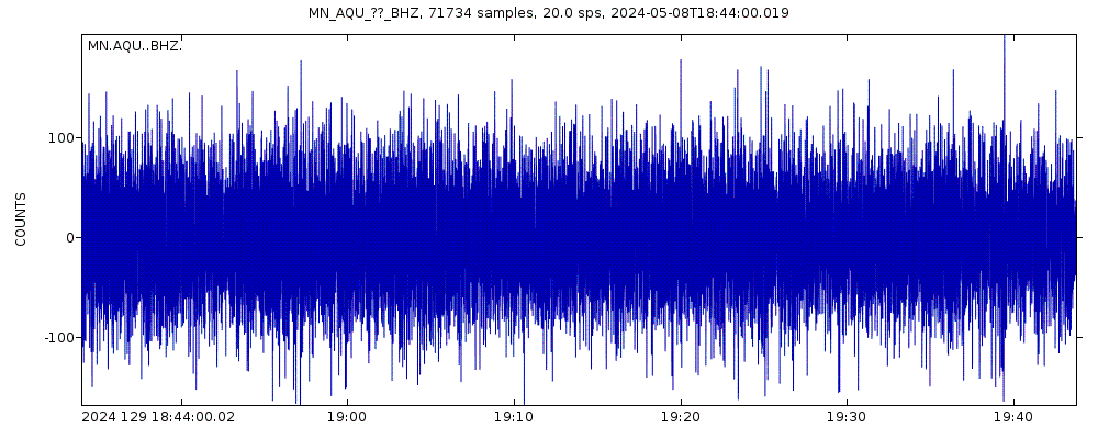
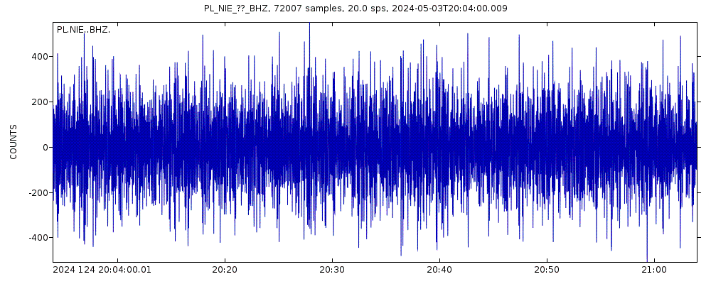
Latest seismic signals
Earthquake Catalog - Look up past earthquakes
| or | ||
Look up quakes! | ||
Earthquake statistics
Average number of earthquakes
- Mag. 7 or higher: 0.02 quakes per year (or 1 quake every 41.7 years)
- Mag. 6 or higher: 0.15 quakes per year (or 1 quake every 6.5 years)
- Mag. 5 or higher: 1.24 quakes per year
- Mag. 4 or higher: 10.9 quakes per year
- Mag. 3 or higher: 101 quakes per year (or 8.4 quakes per month)
- Mag. 2 or higher: 741 quakes per year (or 62 quakes per month)
- Mag. 1 or higher: 1,900 quakes per year (or 5.2 quakes per day)
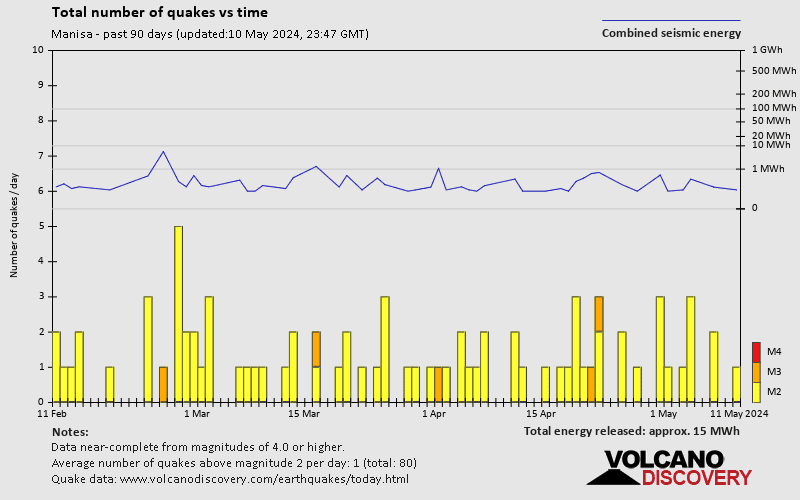
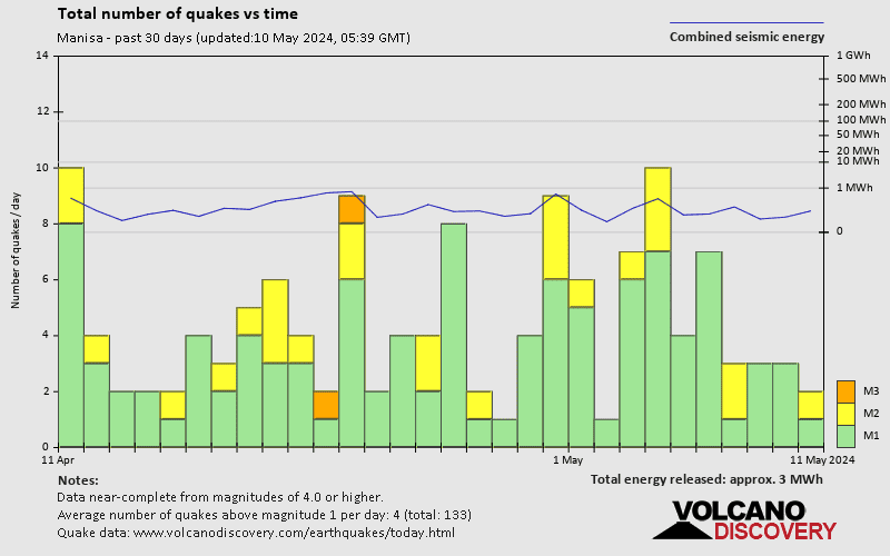
Number of earthquakes over time
Manisa Earthquake FAQ
+How frequent are earthquakes in or near Manisa, Turkey?
Manisa has a high level of seismic activity. Based on data from the past 54 years and our earthquake archive back to 1900, there are about 1,900 quakes on average per year in or near Manisa, Turkey. Manisa has had at least 3 quakes above magnitude 7 since 1900, which suggests that larger earthquakes of this size occur infrequently, probably on average approximately every 40 to 45 years.
+How many earthquakes occur every year in or near Manisa, Turkey?
On average, Manisa has about 101 quakes of magnitude 3 or higher per year (Mag 4+: 10.9 quakes per year).
+When was the latest earthquake in Manisa?
The last earthquake in Manisa occurred 26 minutes ago and had a magnitude of 1.5:
A light magnitude 1.5 earthquake hit 13.1 km (8 mi) away from Kemer, Balikesir, ![]() Turkey, in the morning of Thursday, Apr 25, 2024 at 9.28 am local time (Europe/Istanbul GMT +3). The quake had a very shallow depth of 7 km (4.3 mi) and was too small to be felt by people.
Turkey, in the morning of Thursday, Apr 25, 2024 at 9.28 am local time (Europe/Istanbul GMT +3). The quake had a very shallow depth of 7 km (4.3 mi) and was too small to be felt by people.
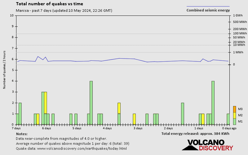
+How many quakes were there in Manisa in the past 7 days?
In the past 7 days, Manisa was shaken by 0 quakes of magnitude 4.0 or above, 2 quakes between 3.0 and 4.0, and 4 quakes between 2.0 and 3.0. There were also 13 quakes below magnitude 2.0 which people don't normally feel.
+What was the strongest quake in Manisa in the past 7 days?
The strongest earthquake in Manisa in the past 7 days had a magnitude of 4.3 and occurred 6 days ago:
A moderate magnitude 4.3 earthquake hit 41 km (25 mi) away from Kusadasi, Aydin, ![]() Turkey, in the morning of Friday, Apr 19, 2024 at 11.02 am local time (Europe/Athens GMT +3). The quake had a very shallow depth of 12.5 km (8 mi) and was felt widely in the area.
Turkey, in the morning of Friday, Apr 19, 2024 at 11.02 am local time (Europe/Athens GMT +3). The quake had a very shallow depth of 12.5 km (8 mi) and was felt widely in the area.
Embed or share standalone map
You can use the standalone version of our interactive earthquake map or embed it on your website:Largest Quakes in or near Manisa, Turkey
Date and Time | Mag Depth | ###DIST_LABEL### | Location | Details | Map |
|---|


