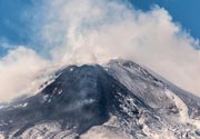
Latest quakes in or near Semidi Islands, Alaska, USA - list, stats and map
| Latest See all | Mag. 2.6 earthquake 78 km ENE of Chignik - Alaska - |
| Strongest since 2024 | Mag. 4.6 156 km SE of Chignik - Alaska - Apr 18, 2024 - |
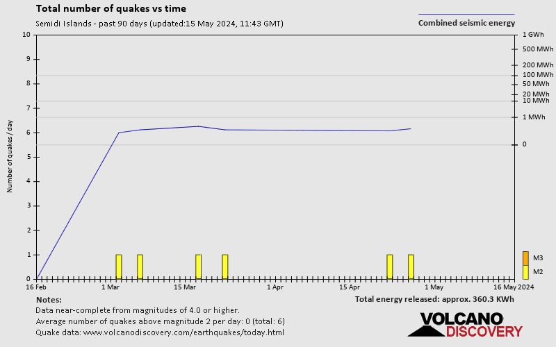
- 0 quakes above magnitude 4
- 1 quake between magnitude 3 and 4
- 7 quakes between magnitude 2 and 3
- 3 quakes below magnitude 2 that people normally don't feel.
Date and Time | Mag Depth | Nearest Volcano | Location | Details | Map |
|---|---|---|---|---|---|
| May 6, 02:16 am (Anchorage) | 2.6 86 km | Info | |||
| Saturday, May 4, 2024 GMT (1 quake) | |||||
| May 4, 04:27 pm (GMT +0) | 2.8 80 km | Info | |||
| Friday, May 3, 2024 GMT (1 quake) | |||||
| May 2, 08:10 pm (GMT -8) | 1.9 47 km | Info | |||
| Tuesday, April 30, 2024 GMT (1 quake) | |||||
| Apr 30, 02:12 am (GMT -8) | 2.2 24 km | Info | |||
| Friday, April 26, 2024 GMT (1 quake) | |||||
| Apr 26, 02:37 am (GMT -9) | 2.4 84 km | Info | |||
| Wednesday, April 24, 2024 GMT (1 quake) | |||||
| Apr 23, 06:28 pm (Anchorage) | 2.4 114 km | Info | |||
| Monday, April 22, 2024 GMT (1 quake) | |||||
| Apr 22, 02:51 am (Anchorage) | 2.2 84 km | Info | |||
| Sunday, April 21, 2024 GMT (2 quakes) | |||||
| Apr 21, 07:45 am (GMT -8) | 2.3 26 km | Info | |||
| Apr 21, 01:50 am (Anchorage) | 2.5 22 km | Info | |||
| Friday, April 19, 2024 GMT (1 quake) | |||||
| Apr 18, 10:27 pm (GMT -9) | 4.6 16 km | Info | |||
| Tuesday, April 9, 2024 GMT (1 quake) | |||||
| Apr 8, 08:54 pm (Anchorage) | 2.6 84 km | Info | |||
Semidi Islands Quake-O-Meter
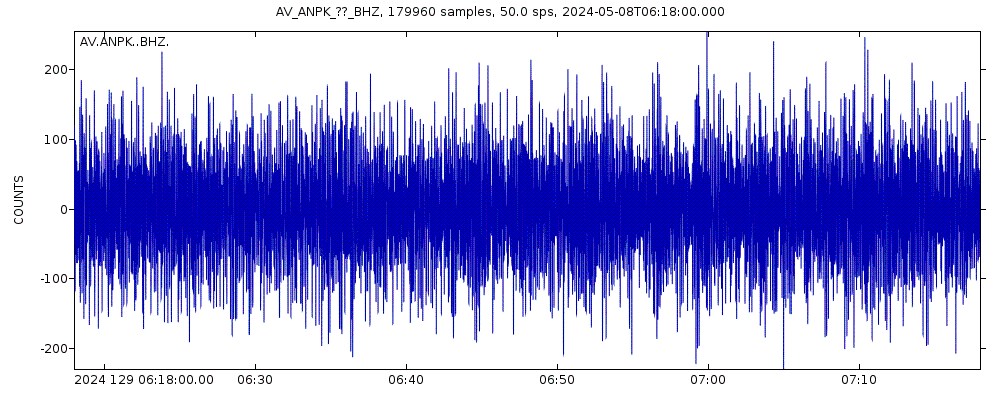
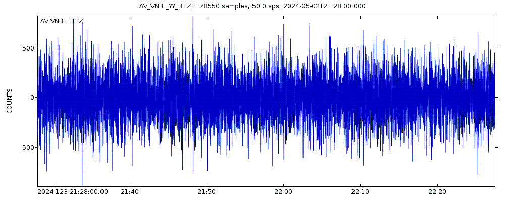
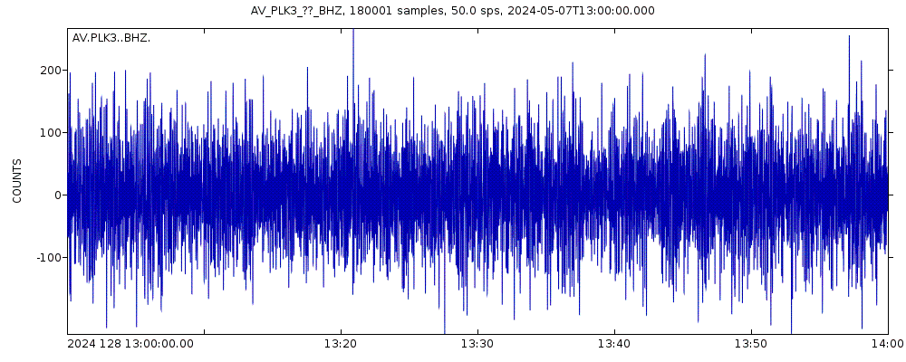
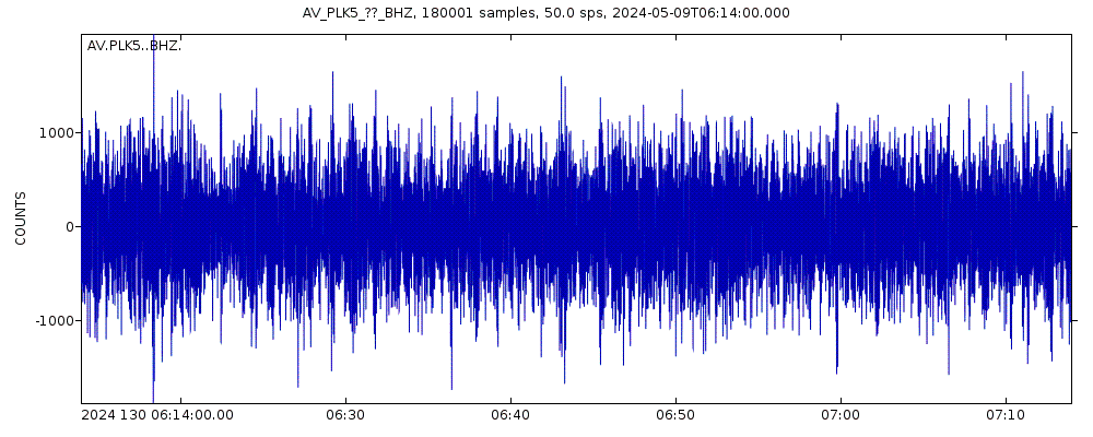
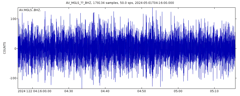
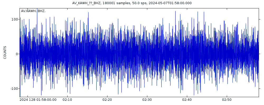
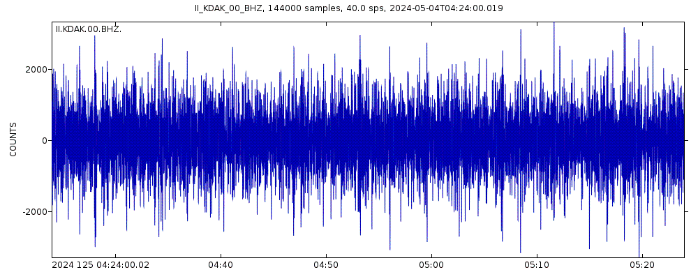
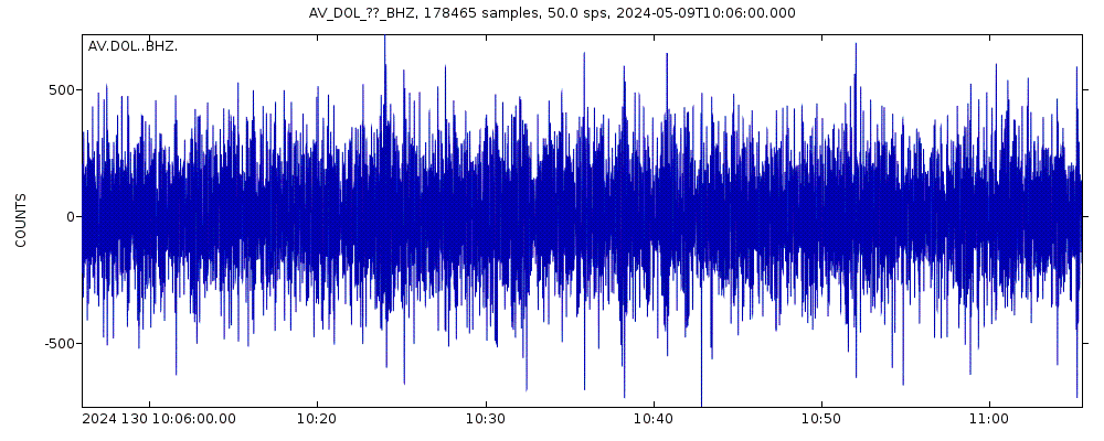
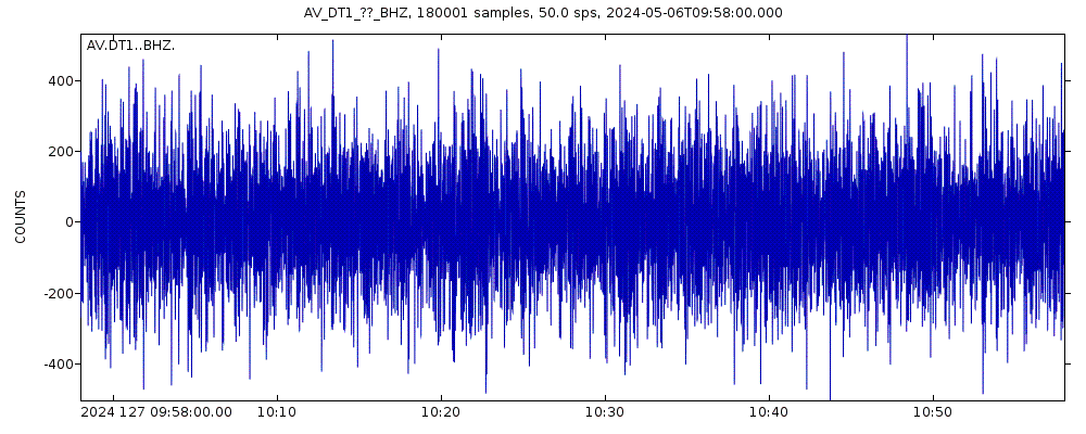
Latest seismic signals

Earthquake Catalog - Look up past earthquakes
| or | ||
Look up quakes! | ||
Earthquake statistics
Average number of earthquakes
- Mag. 6 or higher: 0.06 quakes per year (or 1 quake every 15.6 years)
- Mag. 5 or higher: 0.16 quakes per year (or 1 quake every 6.4 years)
- Mag. 4 or higher: 1.01 quakes per year
- Mag. 3 or higher: 13.1 quakes per year
- Mag. 2 or higher: 46 quakes per year (or 3.9 quakes per month)
- Mag. 1 or higher: 49 quakes per year (or 4 quakes per month)
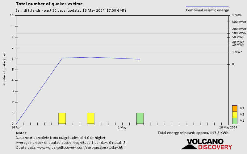
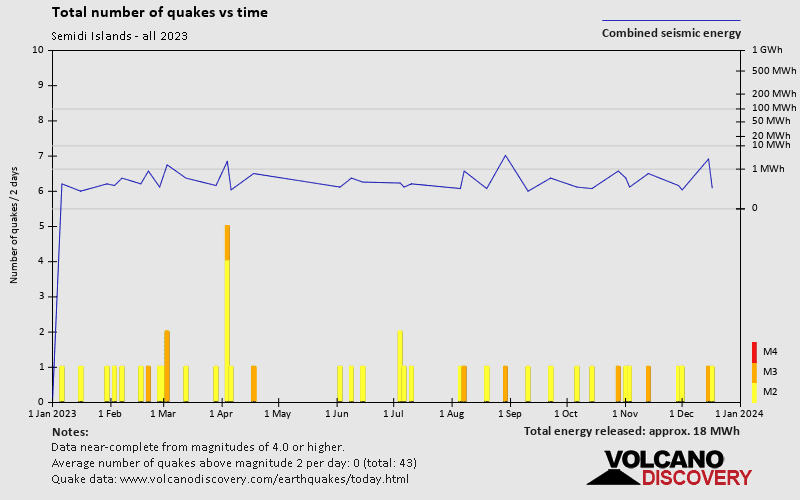
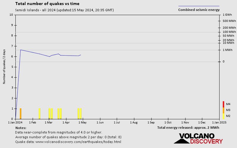
Number of earthquakes over time

Semidi Islands Earthquake FAQ
+How frequent are earthquakes in or near Semidi Islands, Alaska, USA?
Semidi Islands has a high level of seismic activity. Based on data from the past 54 years and our earthquake archive back to 1900, there are about 50 quakes on average per year in or near Semidi Islands, Alaska, USA. Semidi Islands has had at least 8 quakes above magnitude 6 since 1900, which suggests that larger earthquakes of this size occur infrequently, probably on average approximately every 15 to 20 years.
+How many earthquakes occur every year in or near Semidi Islands, Alaska, USA?
On average, Semidi Islands has about 46 quakes of magnitude 2 or higher per year.
+When was the latest earthquake in Semidi Islands?
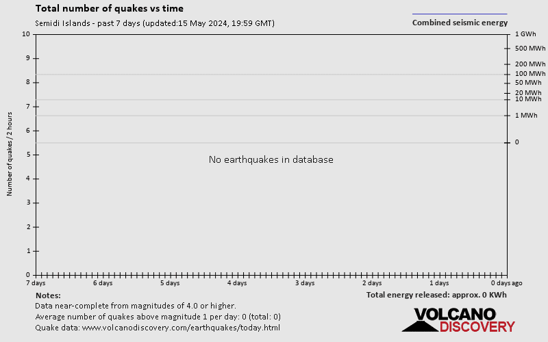
The last earthquake in Semidi Islands occurred 2 hours and 37 minutes ago and had a magnitude of 2.6:
A light magnitude 2.6 earthquake occurred in the Gulf of Alaska near Sutwik Island island, USA, in the early morning of Monday, May 6, 2024 at 2.16 am local time (America/Anchorage GMT -8). The quake had a moderate depth of 86 km (54 mi) and was not felt (or at least not reported so).
+How many quakes were there in Semidi Islands since 2024?
Since 2024, Semidi Islands has been shaken by 0 quakes of magnitude 4.0 or above, 1 quake of magnitude 3.2, and 7 quakes between 2.0 and 3.0. There have been also 3 quakes below magnitude 2.0 which people don't normally feel.
+What was the strongest quake in Semidi Islands since 2024?
The strongest earthquake in Semidi Islands since 2024 had a magnitude of 4.6 and occurred 2 weeks ago:
A strong magnitude 4.6 earthquake occurred in the Gulf of Alaska near the coast of ![]() United States late in the evening of Thursday, Apr 18, 2024 at 10.27 pm local time (GMT -9). The quake had a very shallow depth of 15.8 km (10 mi) and was not felt (or at least not reported so).
United States late in the evening of Thursday, Apr 18, 2024 at 10.27 pm local time (GMT -9). The quake had a very shallow depth of 15.8 km (10 mi) and was not felt (or at least not reported so).
Embed or share standalone map
You can use the standalone version of our interactive earthquake map or embed it on your website:Largest Quakes in or near Semidi Islands, Alaska, USA
Date and Time | Mag Depth | ###DIST_LABEL### | Location | Details | Map |
|---|