


Latest quakes in or near Motiti Island, New Zealand - list, stats and map
| Latest See all | Mag. 2.3 earthquake 4.8 km northwest of Rotorua - Bay of Plenty, New Zealand - |
| Strongest past 30 days | Mag. 3.4 New Zealand - Apr 11, 2024 - |
- 8 quakes above magnitude 3
- 42 quakes between magnitude 2 and 3
- 17 quakes below magnitude 2 that people normally don't feel.
Date and Time | Mag Depth | Nearest Volcano | Location | Details | Map |
|---|---|---|---|---|---|
| Apr 19, 02:08 pm (Auckland) | 2.3 156 km | Info | |||
| Apr 19, 02:05 pm (Auckland) | 2.8 202 km | Info | |||
| Thursday, April 18, 2024 GMT (5 quakes) | |||||
| Apr 19, 10:57 am (Auckland) | 2.1 71 km | Info | |||
| Apr 19, 07:16 am (Auckland) | 2.1 4.6 km | Info | |||
| Apr 19, 04:21 am (Auckland) | 2.1 47 km | Info | |||
| Apr 19, 03:30 am (Auckland) | 2.6 223 km | Info | |||
| Apr 18, 09:39 pm (Auckland) | 2.2 164 km | Info | |||
| Wednesday, April 17, 2024 GMT (8 quakes) | |||||
| Apr 18, 10:18 am (Auckland) | 2.0 138 km | Info | |||
| Apr 18, 08:10 am (Auckland) | 2.3 25 km | Info | |||
| Apr 18, 03:31 am (GMT +12) | 2.2 38 km | Info | |||
| Apr 18, 03:26 am (GMT +12) | 2.0 96 km | Info | |||
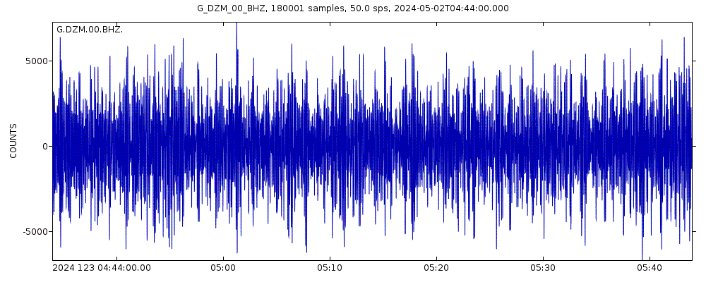
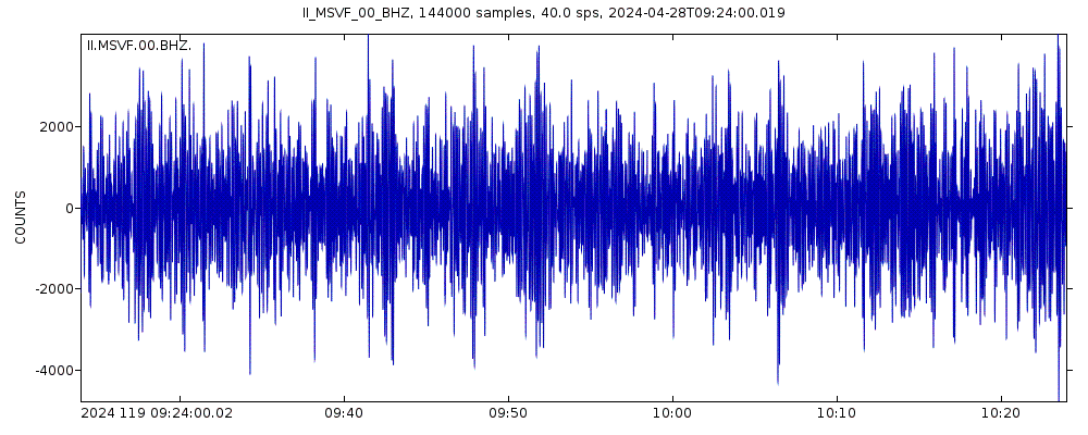
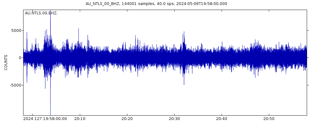
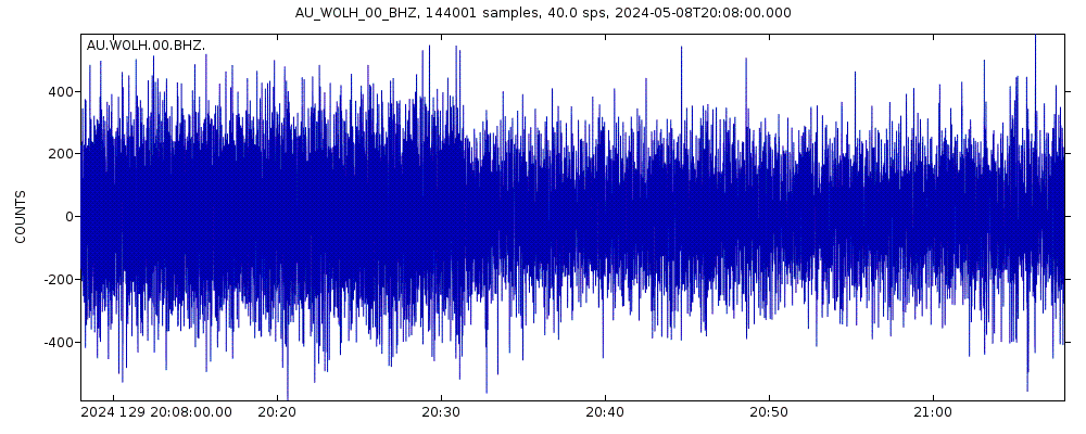
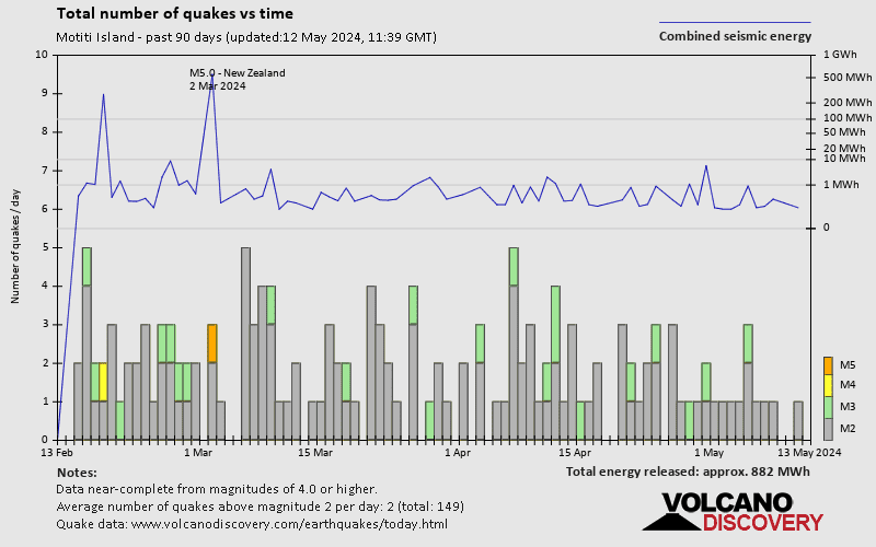
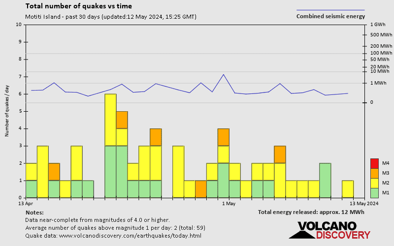
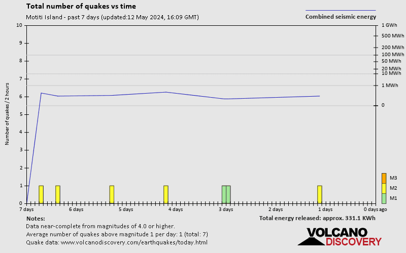
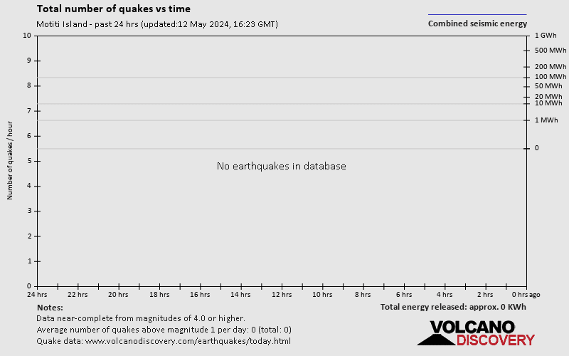
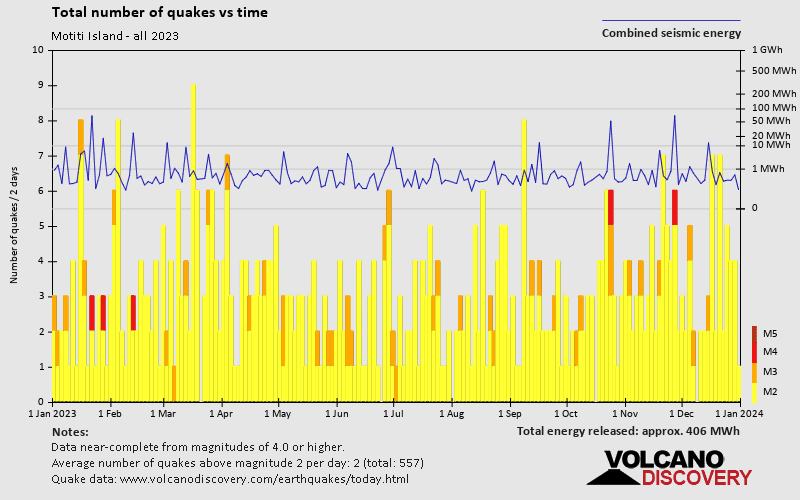
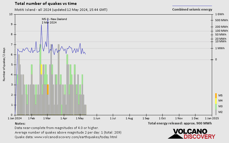
Motiti Island Quake-O-Meter
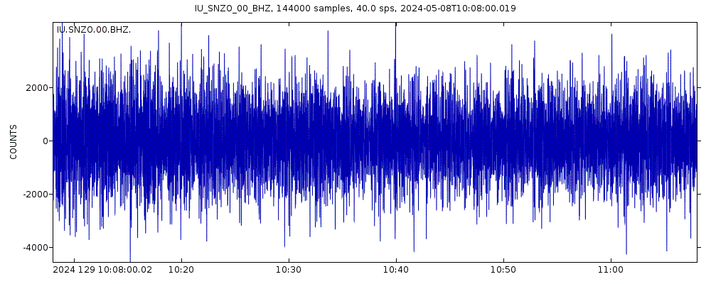
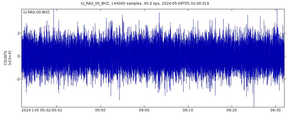
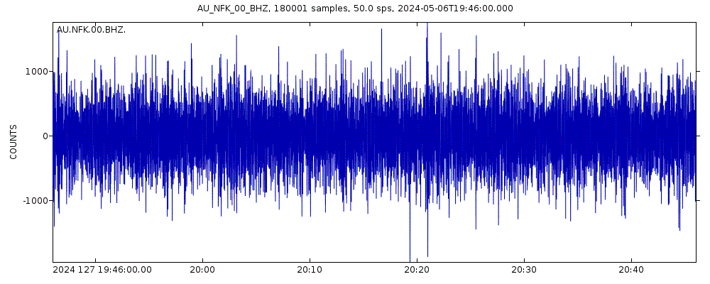
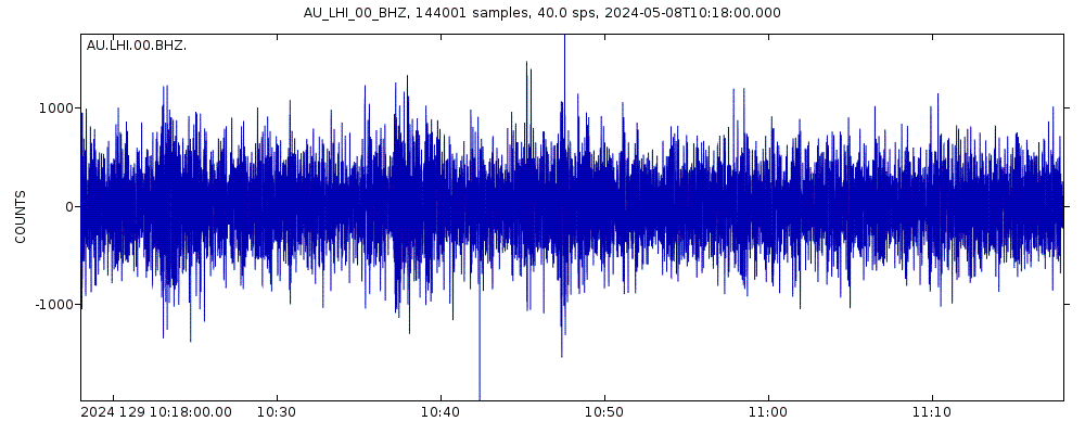
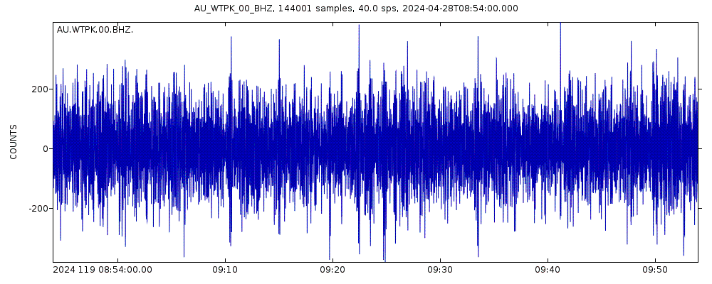
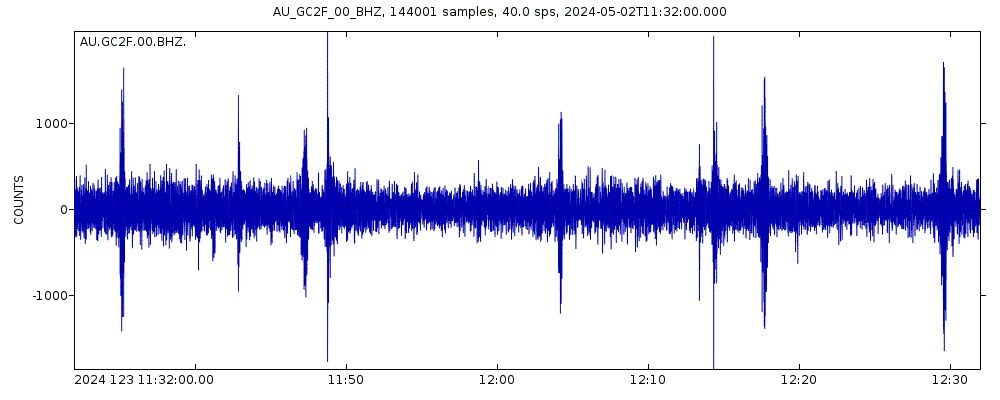
Latest seismic signals
Earthquake Catalog - Look up past earthquakes
| or | ||
Look up quakes! | ||
Earthquake statistics
Average number of earthquakes
- Mag. 6 or higher: 0.02 quakes per year (or 1 quake every 62.5 years)
- Mag. 5 or higher: 0.5 quakes per year (or 1 quake every 2 years)
- Mag. 4 or higher: 8.4 quakes per year
- Mag. 3 or higher: 50 quakes per year (or 4.1 quakes per month)
- Mag. 2 or higher: 461 quakes per year (or 38.4 quakes per month)
- Mag. 1 or higher: 576 quakes per year (or 48 quakes per month)
Number of earthquakes over time
Motiti Island Earthquake FAQ
+How frequent are earthquakes in or near Motiti Island, New Zealand?
Motiti Island has a high level of seismic activity. Based on data from the past 54 years and our earthquake archive back to 1900, there are about 574 quakes on average per year in or near Motiti Island, New Zealand. Motiti Island has had at least 2 quakes above magnitude 6 since 1900, which suggests that larger earthquakes of this size occur infrequently, probably on average approximately every 60 to 65 years.
+How many earthquakes occur every year in or near Motiti Island, New Zealand?
On average, Motiti Island has about 50 quakes of magnitude 3 or higher per year.
+When was the latest earthquake in Motiti Island?
The last earthquake in Motiti Island occurred 58 minutes ago and had a magnitude of 2.3:
A light magnitude 2.3 earthquake hit 4.8 km (3 mi) away from Rotorua, Bay of Plenty, ![]() New Zealand, in the early afternoon of Friday, Apr 19, 2024 at 2.08 pm local time (Pacific/Auckland GMT +12). The quake had a moderate depth of 156 km (97 mi) and was not felt (or at least not reported so).
New Zealand, in the early afternoon of Friday, Apr 19, 2024 at 2.08 pm local time (Pacific/Auckland GMT +12). The quake had a moderate depth of 156 km (97 mi) and was not felt (or at least not reported so).
+How many quakes were there in Motiti Island in the past 30 days?
In the past 30 days, Motiti Island has had 8 quakes of magnitude 3.0 or above and 42 quakes between 2.0 and 3.0. There have been also 17 quakes below magnitude 2.0 which people don't normally feel.
+What was the strongest quake in Motiti Island in the past 30 days?
The strongest earthquake in Motiti Island in the past 30 days had a magnitude of 3.4 and occurred 8 days ago:
A light magnitude 3.4 earthquake hit 12.6 km (8 mi) away from Tauranga, Bay of Plenty, ![]() New Zealand, in the early afternoon of Thursday, Apr 11, 2024 at 2.22 pm local time (Pacific/Auckland GMT +12). The quake had a moderate depth of 166 km (103 mi) and was not felt (or at least not reported so).
New Zealand, in the early afternoon of Thursday, Apr 11, 2024 at 2.22 pm local time (Pacific/Auckland GMT +12). The quake had a moderate depth of 166 km (103 mi) and was not felt (or at least not reported so).
Embed or share standalone map
You can use the standalone version of our interactive earthquake map or embed it on your website:Largest Quakes in or near Motiti Island, New Zealand
Date and Time | Mag Depth | ###DIST_LABEL### | Location | Details | Map |
|---|


