Sabancaya Volcano Volcanic Ash Advisory: INTERMITTENT EMISSION to 26000 ft (7900 m)
Mon, 2 Nov 2020, 23:15 | BY: VN

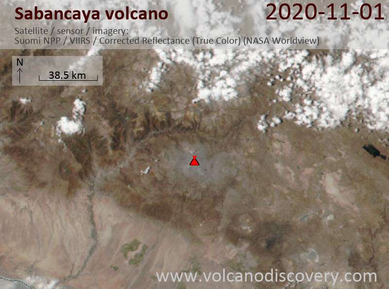
Satellite image of Sabancaya volcano on 2 Nov 2020
The full report is as follows:
FVAG01 at 23:00 UTC, 02/11/20 from SABM
VA ADVISORY
DTG: 20201102/2310Z
VAAC: BUENOS AIRES
VOLCANO: SABANCAYA 354006
PSN: S1547 W07150
AREA: PERU
SUMMIT ELEV: 19576 FT [5967 M]
ADVISORY NR: 2020/1293
INFO SOURCE: GOES-E. GFS. WEBCAM.
AVIATION COLOUR CODE: NOT GIVEN
ERUPTION DETAILS: INTERMITTENT EMISSION
OBS VA DTG: 02/2230Z
OBS VA CLD: SFC/FL260 S1543 W07122 - S1604 W07057
- S1626 W07129 - S1546 W07150 - S1543 W07122 MOV
SE 15KT
FCST VA CLD +6 HR: 03/0430Z SFC/FL260 S1537 W07037
- S1610 W07034 - S1625 W07058 - S1546 W07150 -
S1537 W07037
FCST VA CLD +12 HR: 03/1030Z SFC/FL260 S1534
W07034 - S1606 W07031 - S1618 W07038 - S1545
W07152 - S1534 W07034
FCST VA CLD +18 HR: 03/1630Z SFC/FL260 S1535
W07031 - S1617 W07031 - S1545 W07151 - S1535
W07031
RMK: SATELLITE IMAGERY SHOWS VA PLUME MOV ESE
15KT. WEBCAM SHOWS PUFF EMISSIONS OF VA TL FL260.
...SMN
NXT ADVISORY: WILL BE ISSUED BY 20201103/0510Z=
- All news about: Sabancaya volcano
- Information about: Sabancaya volcano
Previous news
Mon, 2 Nov 2020, 05:15
Sabancaya Volcano Volcanic Ash Advisory: INTERMITTENT PUFFS to 24000 ft (7300 m)
Show more