Sabancaya Volcano Volcanic Ash Advisory: STRONG PUFFS OF VA to 30000 ft (9100 m)
Tue, 2 Jul 2019, 21:00 | BY: VN
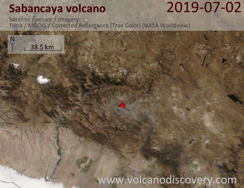
Satellite image of Sabancaya volcano on 2 Jul 2019
The full report is as follows:
FVAG01 at 20:49 UTC, 02/07/19 from SABM
VA ADVISORY
DTG: 20190702/2055Z
VAAC: BUENOS AIRES
VOLCANO: SABANCAYA 354006
PSN: S1547 W07150
AREA: PERU
SUMMIT ELEV: 19576 FT [5967 M]
ADVISORY NR: 2019/745
INFO SOURCE: GOES-E. GFS WINDS. VOLCANO WEB
CAMERA.
AVIATION COLOR CODE: NOT GIVEN
ERUPTION DETAILS: STRONG PUFFS OF VA
OBS VA DTG: 02/2000Z
OBS VA CLD: SFC/FL300 S1517 W07053 - S1722 W07123
- S1544 W07153 - S1517 W07053 MOV SE 15KT
FCST VA CLD +6HR: 03/0200Z SFC/FL300 S1438 W07019
- S1629 W07009 - S1753 W07119 - S1544 W07154 -
S1438 W07019
FCST VA CLD +12HR: 03/0800Z SFC/FL300 S1417
W07006 - S1553 W06937 - S1617 W07130 - S1542
W07153 - S1417 W07006
FCST VA CLD +18HR: 03/1400Z SFC/FL300 S1352
W06950 - S1516 W06924 - S1603 W07138 - S1543
W07152 - S1352 W06950
RMK: STRONG PUFFS OF VA ARE SEEN IN SATELLITE
IMAGERY UNDER CLEAR SKIES. WEBCAM SHOWS
CONTINUOUS EMISSION OF GASES WITH INTERMITTENT
PUFFS OF VA TILL FL300. ...SMN
NXT ADVISORY: WILL BE ISSUED BY 20190703/0255Z=
- All news about: Sabancaya volcano
- Information about: Sabancaya volcano
Previous news
Tue, 2 Jul 2019, 13:45
Sabancaya Volcano Volcanic Ash Advisory: INTERMITTENT PUFFS OF VA to 26000 ft (7900 m)
Tue, 2 Jul 2019, 01:45
Sabancaya Volcano Volcanic Ash Advisory: SPORADIC PUFFS OF VA to 26000 ft (7900 m)
Show more