Salina Volcano
Updated: Apr 25, 2024 07:36 GMT -
Stratovolcano(es) 962 m / 3156 ft
Eolian Islands, Italy, 38.58°N / 14.85°E
Current status: (probably) extinct (0 out of 5)
Eolian Islands, Italy, 38.58°N / 14.85°E
Current status: (probably) extinct (0 out of 5)
[smaller] [larger]
Salina volcano eruptions: None during the past 10,000 years
Less than 2.58 million years ago (Pleistocene)
Latest nearby earthquakes
| Time | Mag. / Depth | Distance / Location | |||
| Apr 16, 09:19 pm (Rome) | 2.2 12 km | 20 km (12 mi) to the SE | Info | ||
| Apr 16, 08:00 am (Rome) | 2.0 12 km | 20 km (12 mi) to the SE | Info | ||
Background
Salina is made up of calc-alkaline basaltic to andesitic stratovolcanoes (Rivi, Capo, and Corvo), which are overlain by two andesitic cones (Monte Felci and Monte Porri), the latter of which erupted about 67 ka (Peccerillo, 2005). Monte Porri also underwent intense explosive activity, producing a series of tuffs that have also been identified on other nearby islands; these eruptions also produced lahars and pyroclastic surges (Guest et al., 2003). The final eruptive activity produced basaltic-dacitic-andesitic lava flows and a rhyolitic explosion crater (Pollara) (Peccerillo, 2005; Guest et al., 2003). Pollara Crater erupted about 13,000 years before present; the rest of the island is mid-upper Pleistocene, as old as 430 to 500 k.y. old (Keller, 1974; Peccerillo, 2005;Guest et al., 2003).---
Smithsonian / GVP volcano information
Salina Volcano Photos
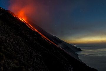
Night over Stromboli's Sciara del Fuoco - the distant island of Salina in the background. (Photo: Tom Pfeiffer)
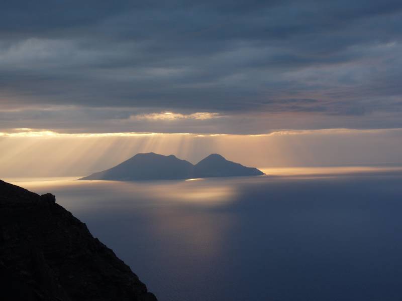
Rays of evening sunlight iluminating the volcanic island of Salina; picture taken from Stromboli's viewpoint Pizzo, 2nd January 2013 (Photo: Ingrid)
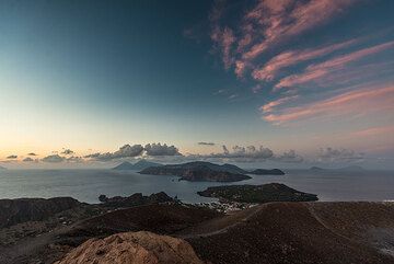
Sunset view from the summit of La Fossa volcano, Vulcano, with Salina, Lipari, Panarea and Stromboli in the background (Photo: Tom Pfeiffer)
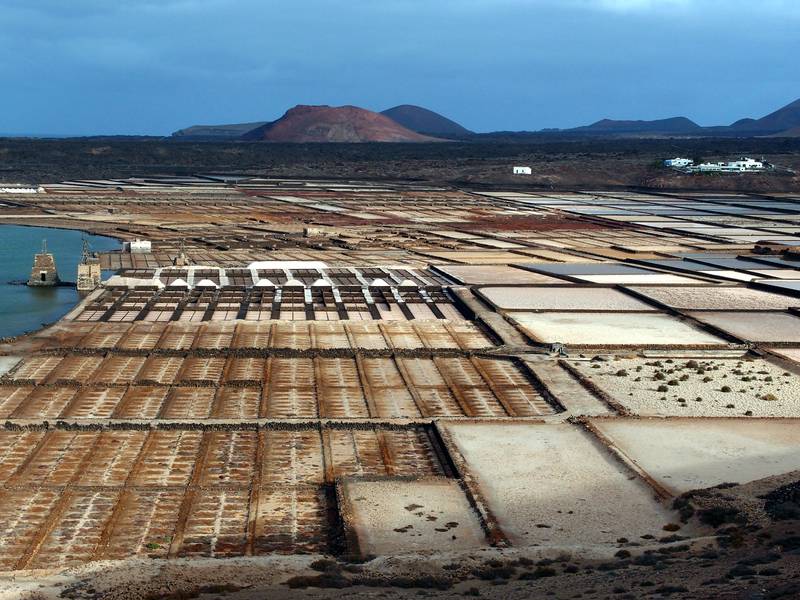
View over the salt fields "Salinas del Janubio" on Lanzarote, Canary islands (Photo: Janka)
Latest satellite images