Contact | RSS | EN | DE | EL | ES | FR | IT | RU

San Salvador Volcano

Updated: Apr 25, 2024 17:13 GMT -
stratovolcano 1893 m / 6,211 ft
El Salvador, 13.73°N / -89.29°W
Current status: normal or dormant (1 out of 5)
Last update: 9 Mar 2022 (Devastating rain-caused landslide on NE flank)

San Salvador volcano is a massive stratovolcano immediately northwestwest of El Salvador city. Its modern summit cone is also called the Boqueron stratovolcano. It formed within a 6 km wide caldera left by the collapse of the predecessor volcano about 40,000 years ago. Remnants of the caldera rim form the Picacho and Jabalí peaks.
Boqueron volcano is truncated by a steep-walled, 500 m deep and 1500 m wide summit crater, which formed during a large eruption about 800 years ago. Before the last eruption in 1917, the crater of Boqueron contained a 400 m wide lake, which was replaced by a small, 30 m high young cinder cone, called Boqueroncito, built during the eruption along with a major lava flow on the north flank.
Most historical eruptions from San Salvador originated from flank vents.

[smaller] [larger]
Typical eruption style: effusive flank fissure eruptions
San Salvador volcano eruptions: 1917, 1806 (?), 1671, 1658, 1572 ± 2, ?1200, 640 AD ± 30 years

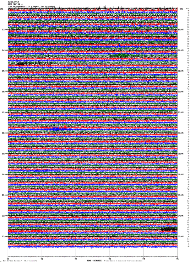
Latest nearby earthquakes

TimeMag. / DepthDistance / Location
Apr 11, 04:29 pm (El Salvador)
2.5

5 km
22 km (14 mi) to the SW 10 Km al noroeste de La Libertad, El Salvador
Info

Background

The San Salvador or Quezaltepeque volcanic center formed in the southern part of the main graben of El Salvador and is dominantly andesitic. 3 fracture zones that extend beyond the base of San Salvador volcano have been the locus for numerous flank eruptions, including 2 that formed maars on the WNW and SE sides.
Most of the 4 historical eruptions recorded since the 16th century have originated from flank vents, including two eruptions in the 17th century from the NW-flank cone of El Playón, during which explosions and a lava flow damaged inhabited areas.

Eruptions of San Salvador volcano


1999 unrest
A small seismic swarm occurred in August 1999, when volcano-tectonic earthquakes about 5 km from the crater were detected. No other signs of unrest were noted.

1917 eruption
The last eruption of San Salvador volcano began on 6 June 1917 following strong and destructive earthquakes lasting for 2 hours. The eruption consisted of an effusive fissure eruption on the NW flank followed by a moderately explosive summit eruption (similar, but smaller in scale, to the Eyafjallajökull eruption in 2010).
The effusive phase produced a large aa lava flow on the NW flank, left a row of cinder cones on the eruptive fissure, and lasted about a week. The second phase started simultaneously with the waning of the waning of the first phase from a fissure vent inside the summit crater. It quickly evaporated a former 400 m wide lake and built the small Boqueroncito cinder cone. ...more info

Latest satellite images

SanSalvador satellite image sat1SanSalvador satellite image sat2
Sat, 31 Oct 2020, 05:59

San Salvador volcano (El Salvador) activity update: Devastating rain-caused landslide on NE flank

Devastation caused by the landslide. Source: AAP Newswire
At least nine people have been killed after torrential rain caused a landslide on the northeast flank of the volcano, which tore a 4 km path through the village of Los Angelitos, Nejapa. 60 homes were buried and 75 damaged. Landslides at San Salvador are a known hazard- other destructive events occurred in 1982 and 2001. ... Read all
Wed, 23 Jan 2013, 11:05

San Salvador volcano (El Salvador) activity update

Current seismic signal San Salvador (GRDA station, SNET)
Small volcanic quakes and weak tremor are visible at the seismogram, but within normal levels for this active volcano. ... Read all

On this page:

Try our free app!
Volcanoes & Earthquakes - new app for Android
Android | iOS version

More on VolcanoDiscovery

Why is there advertising on this site?

Support us - Help us upgrade our services!

We truly love working to bring you the latest volcano and earthquake data from around the world. Maintaining our website and our free apps does require, however, considerable time and resources.
We need financing to increase hard- and software capacity as well as support our editor team. We're aiming to achieve uninterrupted service wherever an earthquake or volcano eruption unfolds, and your donations can make it happen! Every donation will be highly appreciated. If you find the information useful and would like to support our team in integrating further features, write great content, and in upgrading our soft- and hardware, please make a donation (PayPal or Online credit card payment).

Planned features:Thanks to your past donations, these features have been added recently:
Download and Upgrade the Volcanoes & Earthquakes app to get one of the fastest seismic and volcano alerts online:
Android | IOS
Thank you!
Sources: VolcanoDiscovery / VolcanoAdventures and other sources as noted.
Use of material: Most text and images on our websites are owned by us. Re-use is generally not permitted without authorization. Contact us for licensing rights.
Volcanoes & Earthquakes
VolcanoDiscovery Home
Volcanoes | Earthquakes | Photos | Volcano News | App
Adventure & Study Travel
Tours to Volcanoes and Volcanic Areas: walking tours, photo tours, study tours
Tours & Dates | FAQ | About us
Get our newsletter!
Company info
Contact | Legal info | Terms & conditions
Follow us
Follow us on facebook Follow us on Instagram Follow us on Twitter Visit our Youtube channel
EN | DE | EL | ES | FR | IT | RU
VolcanoDiscovery GmbH, Germany, Reg. nr.: HRB 103744, EU Tax Id: DE 297 465 123 owned and created by
Dr. Tom Pfeiffer, volcanologist, volcano photographer, tour organizer member of
IAVCEI
IAVCEI
Vulkanologische Gesellschaft
Volcanological Society
Ecotourism Greece
Ecotourism Greece
RUV insurance
Insured by R+V
VolcanoDiscovery © 2004- All Rights Reserved | Privacy - Cookie Settings