


Sangay Volcano Volcanic Ash Advisory: VA EMS MOVG WSW. to 23000 ft (7000 m)
Wed, 5 Aug 2020, 00:30 | BY: VN
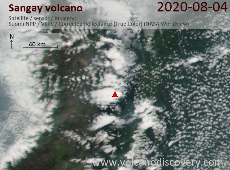
Satellite image of Sangay volcano on 5 Aug 2020
The full report is as follows:
FVXX21 at 00:20 UTC, 05/08/20 from KNES
VA ADVISORY
DTG: 20200805/0017Z
VAAC: WASHINGTON
VOLCANO: SANGAY 352090
PSN: S0200 W07820
AREA: ECUADOR
SUMMIT ELEV: 17159 FT [5230 M]
ADVISORY NR: 2020/736
INFO SOURCE: GOES-EAST. GUAYAQUIL MWO. VONA. WEB
CAM. NWP MODELS.
ERUPTION DETAILS: VA EMS MOVG WSW.
OBS VA DTG: 04/2320Z
OBS VA CLD: SFC/FL230 S0200 W07819 - S0201 W07819
- S0204 W07831 - S0201 W07831 - S0200 W07819 MOV
W 20-25KT
FCST VA CLD +6HR: 05/0530Z SFC/FL230 S0158 W07834
- S0200 W07819 - S0201 W07819 - S0204 W07834 -
S0158 W07834
FCST VA CLD +12HR: 05/1130Z SFC/FL230 S0158
W07835 - S0200 W07819 - S0201 W07819 - S0205
W07834 - S0158 W07835
FCST VA CLD +18HR: 05/1730Z NO VA EXP
RMK: VONA FM GEOPHYS INST RPRTS VA EMS TO FL230.
VA SEEN ON WEBCAM AND G16 STLT IMAGERY. VA DISPG
ABT 12 NMI WSW OF SUMMIT. NWP MDLS FCST
GENERAL W-WARD MOVMT THRU T+12HRS. ...HOSLEY
NXT ADVISORY: WILL BE ISSUED BY 20200805/0615Z
- All news about: Sangay volcano
- Information about: Sangay volcano
Previous news

Show more


