
Date and Time | Mag Depth | Distance | Location | Details | Map |
|---|---|---|---|---|---|
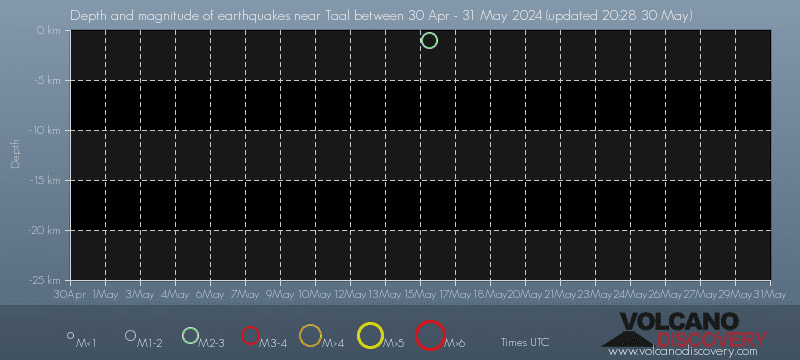
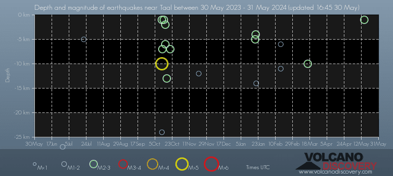
| Mar 17, 01:28 am (Manila) | 2.6 10 km | 27 km (17 mi) to the SW | Info | ||
| Friday, February 16, 2024 GMT (4 quakes) | |||||
| Feb 17, 05:48 am (Manila) | 1.3 35 km | 27 km (17 mi) to the E | Info | ||
| Feb 17, 03:19 am (Manila) | 1.7 6 km | 27 km (17 mi) to the NE | Info | ||
| Feb 17, 03:09 am (GMT +8) | 1.6 11 km | 29 km (18 mi) to the NE | Info | ||
| Feb 17, 03:07 am (GMT +8) | 1.7 34 km | 29 km (18 mi) to the NE | Info | ||
| Sunday, January 21, 2024 GMT (1 quake) | |||||
| Jan 21, 02:00 pm (Manila) | 1.9 14 km | 27 km (17 mi) to the SW | Info | ||
| Saturday, January 20, 2024 GMT (2 quakes) | |||||
| Jan 21, 04:39 am (Manila) | 2.4 4 km | 28 km (17 mi) to the SW | Info | ||
| Jan 20, 04:20 pm (Manila) | 2.5 5 km | 29 km (18 mi) to the SW | Info | ||
| Tuesday, November 21, 2023 GMT (1 quake) | |||||
| Nov 21, 2023 09:04 am (Manila) | 1.8 12 km | 28 km (17 mi) to the SW | Info | ||
| Saturday, October 21, 2023 GMT (1 quake) | |||||
| Oct 22, 2023 03:53 am (Manila) | 2.5 7 km | 28 km (17 mi) to the S | Info | ||
| Wednesday, October 18, 2023 GMT (3 quakes) | |||||
| Oct 18, 2023 08:50 pm (Manila) | 2.0 31 km | 26 km (16 mi) to the W | Info | ||
| or | ||
Look up quakes! | ||