Contact | RSS | EN | DE | EL | ES | FR | IT | RU

Udokan Volcano

Updated: Apr 16, 2024 21:07 GMT -
pyroclastic cones 2180 m / 7,152 ft
southeastern Russia, 56.28°N / 117.77°E
Current status: normal or dormant (1 out of 5)

The Udokan Plateau volcano is a volcanic field located in southeastern Russia 400 km ENE of the Baikal Lake. The field contains cinder cones, lava domes, lava flows and explosion craters (maars).
The latest eruption took place at Chepe volcano about 2200 years ago.

[smaller] [larger]
Typical eruption style: effusive
Udokan volcano eruptions: 220 BC ± 50, 2670 BC ± 100, 5990 BC ± 100, 6210 BC ± 100, 7290 BC ± 100 years (radiocarbon dates)

Latest nearby earthquakes

No recent earthquakes
TimeMag. / DepthDistance / Location

Background

The Udokan Plateau volcanic field belongs to a 3000 sq km large area of quaternary volcanism at the eastern margin of the Baikal Rift System. Activity in this area dates back to the Miocene.
Late-Pleistocene to Holocene volcanic centers are concentrated along 3 major lineaments, and many eruptions were localized along fissures trending NW-SE and NE-SW.
Dated Holocene volcanic centers are located on a 20-km-long line at the SW side of the volcanic field, but Holocene cinder cones also occur in the NE Udokan Plateau.
Seismic activity has been recorded at depths of 15 to 20 km beneath some of the cones. The Udokan volcanic field is dominated by basaltic cinder cones, but basal trachytic ignimbrites are also overlain by lava domes and flows, and trachytic maars were formed during the final stages of activity.
---
Source: Smithsonian Institution / GVP

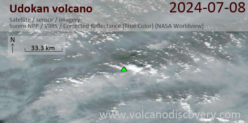
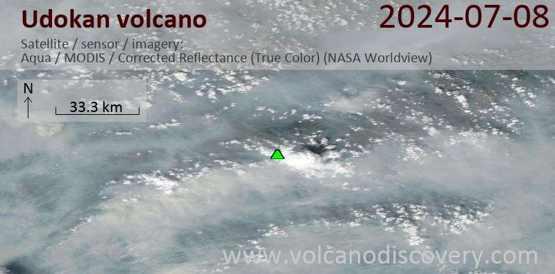
Latest satellite images

Udokan satellite image sat1Udokan satellite image sat2

No news in this list.

On this page:

Try our free app!
Volcanoes & Earthquakes - new app for Android
Android | iOS version

More on VolcanoDiscovery

Why is there advertising on this site?

Support us - Help us upgrade our services!

We truly love working to bring you the latest volcano and earthquake data from around the world. Maintaining our website and our free apps does require, however, considerable time and resources.
We need financing to increase hard- and software capacity as well as support our editor team. We're aiming to achieve uninterrupted service wherever an earthquake or volcano eruption unfolds, and your donations can make it happen! Every donation will be highly appreciated. If you find the information useful and would like to support our team in integrating further features, write great content, and in upgrading our soft- and hardware, please make a donation (PayPal or Online credit card payment).

Planned features:Thanks to your past donations, these features have been added recently:
Download and Upgrade the Volcanoes & Earthquakes app to get one of the fastest seismic and volcano alerts online:
Android | IOS
Thank you!
Sources: VolcanoDiscovery / VolcanoAdventures and other sources as noted.
Use of material: Most text and images on our websites are owned by us. Re-use is generally not permitted without authorization. Contact us for licensing rights.
Volcanoes & Earthquakes
VolcanoDiscovery Home
Volcanoes | Earthquakes | Photos | Volcano News | App
Adventure & Study Travel
Tours to Volcanoes and Volcanic Areas: walking tours, photo tours, study tours
Tours & Dates | FAQ | About us
Get our newsletter!
Company info
Contact | Legal info | Terms & conditions
Follow us
Follow us on facebook Follow us on Instagram Follow us on Twitter Visit our Youtube channel
EN | DE | EL | ES | FR | IT | RU
VolcanoDiscovery GmbH, Germany, Reg. nr.: HRB 103744, EU Tax Id: DE 297 465 123 owned and created by
Dr. Tom Pfeiffer, volcanologist, volcano photographer, tour organizer member of
IAVCEI
IAVCEI
Vulkanologische Gesellschaft
Volcanological Society
Ecotourism Greece
Ecotourism Greece
RUV insurance
Insured by R+V
VolcanoDiscovery © 2004- All Rights Reserved | Privacy - Cookie Settings