Unzen Volcano
Updated: Apr 20, 2024 14:57 GMT -
stratovolcano 1486 m / 4,875 ft
Kyushu Island, Japan, 32.76°N / 130.29°E
Current status: normal or dormant (1 out of 5)
Kyushu Island, Japan, 32.76°N / 130.29°E
Current status: normal or dormant (1 out of 5)
Unzen Volcano (雲仙岳 in Japanese, also Unzendake) is located on the Island of Kyushu about 40 kilometers east of Nagasaki city. It is one of Japan's most active and dangerous volcanoes. It killed 43 people during its latest eruption in 1991.
[smaller] [larger]
Unzen volcano eruptions: 1996, 1990-95, 1798(?), 1792, 1690-92, 1663, 1663, 860(?)
Latest nearby earthquakes
| Time | Mag. / Depth | Distance / Location | |||
Background
Unzen is a group of several overlapping active stratovolcanoes (including Kinugasa on the north, Fugen-dake at the east-center, and Kusenbu on the south) located near the city of Shimabara, Nagasaki Prefecture, on the island of Kyushu, Japan's southernmost main island. The massive basaltic to andesitic Unzen volcanic complex occupies much of the Shimabara Peninsula east of Nagasaki. Currently, Unzen's highest peaks are Fugendake (普賢岳) at 1,359 metres (4,459 ft) and Heisei Shinzan (平成新山) at 1,486 metres (4,875 ft).The volcanoes formed along a 30-40 km long E-W aligned graben. The historically active vent of Unzen, Mayu-yama lava dome complex, is about 4,000 years old.
In 1792, the collapse of one of its several lava domes triggered a tsunami that killed about 15,000 people in Japan's worst-ever volcanic-related disaster. The last eruptions of the volcano were from 1990 to 1995. The largest eruption in this period occurred on June 3, 1991, when a pyroclastic flow that reached 4.5 kilometres distance from the crater killed 43 people including the famous French volcanologists Katia and Maurice Krafft.
Eruptions of Unzen volcano
1991-93 eruption
In 1991, Unzen woke up from its 200-year slumber and started to extrude a new lava dome at the summit. The eruption quickly intensified, and in June, repeated collapses of the new lava dome generated pyroclastic flows that swept down its slopes at speeds as high as 200 kilometers per hour. The largest flow occurred on June 3, 1991 and killed 43 people caught by surprise by the unusually strong flow. ...more info
In 1991, Unzen woke up from its 200-year slumber and started to extrude a new lava dome at the summit. The eruption quickly intensified, and in June, repeated collapses of the new lava dome generated pyroclastic flows that swept down its slopes at speeds as high as 200 kilometers per hour. The largest flow occurred on June 3, 1991 and killed 43 people caught by surprise by the unusually strong flow. ...more info
1792 landslide-triggered tsunami disaster at Unzen volcano
Unzen is infamous for Japan's greatest volcanic disaster. In 1792, about a month after lava stopped erupting from the volcano, a landslide from nearby Mount Mayuyama swept through ancient Shimabara City, entered the sea, and generated a tsunami that struck nearby areas.
More than 15,000 people were killed by the landslide and tsunami. The amphitheater-shaped scar of the landslide is still clearly visible on Mount Mayuyama just above the city.
From: Brantley and Scott, 1993, The Danger of Collapsing Lava Domes: Lessons for Mount Hood, Oregon: IN: Earthquakes & Volcanoes, v.24, n.6
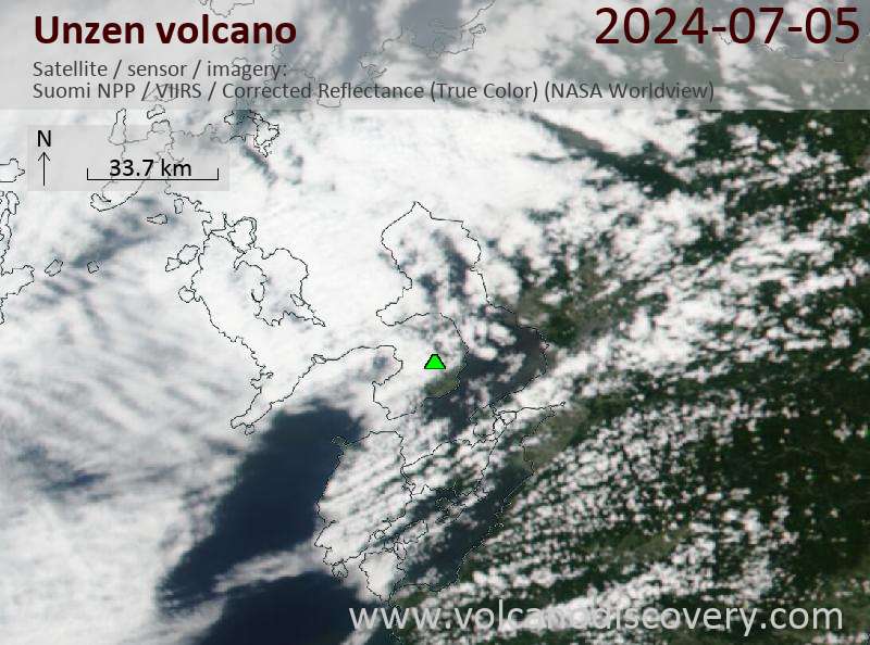
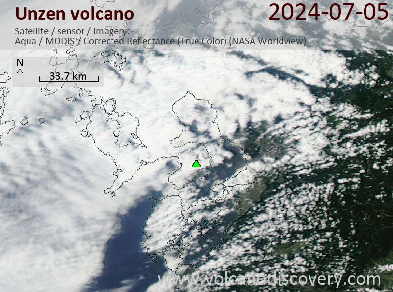
Latest satellite images