West Crater Volcano
Updated: Apr 19, 2024 21:17 GMT -
volcanic field 1329 m / 4,360 ft
Washington State (Canada and USA (mainland)), 45.88°N / -122.08°W
Current status: normal or dormant (1 out of 5)
Washington State (Canada and USA (mainland)), 45.88°N / -122.08°W
Current status: normal or dormant (1 out of 5)
West Crater volcano is a small andesitic lava dome with lava flows in southern Washington, belonging to a volcanic field extending from Marble Mountain, north of Swift Reservoir, to south of Trout Creek Hill. The field consists mainly of small basaltic and basaltic andesite cinder cones and small shield volcanoes, oriented along a NW-SE zone SE of Mount St. Helens.
The most recent activity occurred about 8,000 years ago and formed the West Crater lava dome, a small cone at Hackamore Creek, and a phreatic crater at the summit of Bare Mountain.
The older, basaltic Trout Creek Hill shield volcano erupted a lava flow about 340,000 years ago that traveled 20 km SE and temporarily dammed the Columbia River.
[smaller] [larger]
West Crater volcano eruptions: ca. 8000 years ago
Latest nearby earthquakes
| Time | Mag. / Depth | Distance / Location | |||
| Apr 9, 02:59 pm (Los Angeles) | 2.4 0.8 km | 29 km (18 mi) to the W | Info | ||
| Friday, April 5, 2024 GMT (1 quake) | |||||
| Apr 5, 02:34 pm (Los Angeles) | 1.3 8.9 km | 24 km (15 mi) to the S | Info | ||
West Crater Volcano Photos
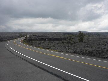
Day 3: Driving along the Chain of Craters Road from Kilauea´s summit area through the western edge of the East Rift Zone down to the coast (Photo: Ingrid Smet)
Latest satellite images