Contact | RSS | EN | DE | EL | ES | FR | IT | RU

Yabakei Volcano

Updated: Apr 16, 2024 19:51 GMT -
Caldera 800 m / 2625 ft
Japan, 33.17°N / 131.22°E
Current status: (probably) extinct (0 out of 5)

[smaller] [larger]
Typical eruption style: unspecified
Yabakei volcano eruptions: None during the past 10,000 years
Less than few million years ago (Pleistocene)

Latest nearby earthquakes

TimeMag. / DepthDistance / Location
Apr 3, 02:21 pm (GMT +9)
3.1

5.1 km
6.1 km (3.8 mi) to the S Japan: NORTHERN OITA PREF Info

Background

The largely buried Yabakei caldera (also known as the Shishimuta caldera), a member of the Hohi Volcanic Zone, was the source of two major Pleistocene explosive eruptions producing the dacitic Yabakei (0.1 Ma) and Imaichi (0.9 Ma) pyroclastic flows (Hayashida et al., 1996; Kamata, 1989). The Yabakei pyroclastics take the form of densely welded tuffs, originally more than 110 km3 in total volume, and crop out over an area of about 480 km2 (Kamata, 1989). The 8-km-diameter funnel-shaped caldera is filled with breccia and shows no evidence of resurgent volcanic activity after these two caldera eruptions. However, post-caldera monogenetic activity appears to have continued for about 600,000 years after the caldera activity (Kamata, 1989).
---
Source: Smithsonian / GVP volcano information

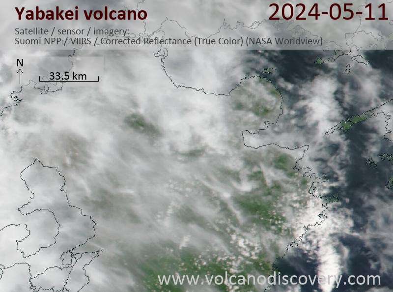
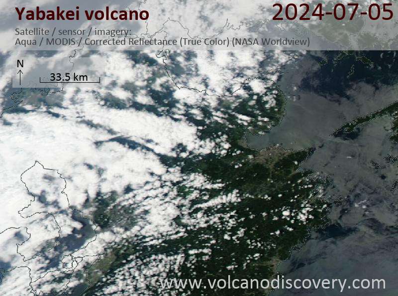
Latest satellite images

yabakei satellite image sat1yabakei satellite image sat2
News

No news in this list.

On this page:

Try our free app!
Volcanoes & Earthquakes - new app for Android
Android | iOS version

More on VolcanoDiscovery

Why is there advertising on this site?

Support us - Help us upgrade our services!

We truly love working to bring you the latest volcano and earthquake data from around the world. Maintaining our website and our free apps does require, however, considerable time and resources.
We need financing to increase hard- and software capacity as well as support our editor team. We're aiming to achieve uninterrupted service wherever an earthquake or volcano eruption unfolds, and your donations can make it happen! Every donation will be highly appreciated. If you find the information useful and would like to support our team in integrating further features, write great content, and in upgrading our soft- and hardware, please make a donation (PayPal or Online credit card payment).

Planned features:Thanks to your past donations, these features have been added recently:
Download and Upgrade the Volcanoes & Earthquakes app to get one of the fastest seismic and volcano alerts online:
Android | IOS
Thank you!
Sources: VolcanoDiscovery / VolcanoAdventures and other sources as noted.
Use of material: Most text and images on our websites are owned by us. Re-use is generally not permitted without authorization. Contact us for licensing rights.
Volcanoes & Earthquakes
VolcanoDiscovery Home
Volcanoes | Earthquakes | Photos | Volcano News | App
Adventure & Study Travel
Tours to Volcanoes and Volcanic Areas: walking tours, photo tours, study tours
Tours & Dates | FAQ | About us
Get our newsletter!
Company info
Contact | Legal info | Terms & conditions
Follow us
Follow us on facebook Follow us on Instagram Follow us on Twitter Visit our Youtube channel
EN | DE | EL | ES | FR | IT | RU
VolcanoDiscovery GmbH, Germany, Reg. nr.: HRB 103744, EU Tax Id: DE 297 465 123 owned and created by
Dr. Tom Pfeiffer, volcanologist, volcano photographer, tour organizer member of
IAVCEI
IAVCEI
Vulkanologische Gesellschaft
Volcanological Society
Ecotourism Greece
Ecotourism Greece
RUV insurance
Insured by R+V
VolcanoDiscovery © 2004- All Rights Reserved | Privacy - Cookie Settings