Contact | RSS | EN | DE | EL | ES | FR | IT | RU

Barren Island volcano (India) - intermittent activity detected on satellite data

Tue, 4 Feb 2014, 12:28 | BY: T
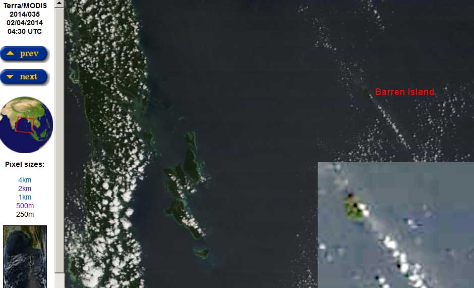
Gas and ash plume from Barren Island today (MODIS/Terra, NASA)
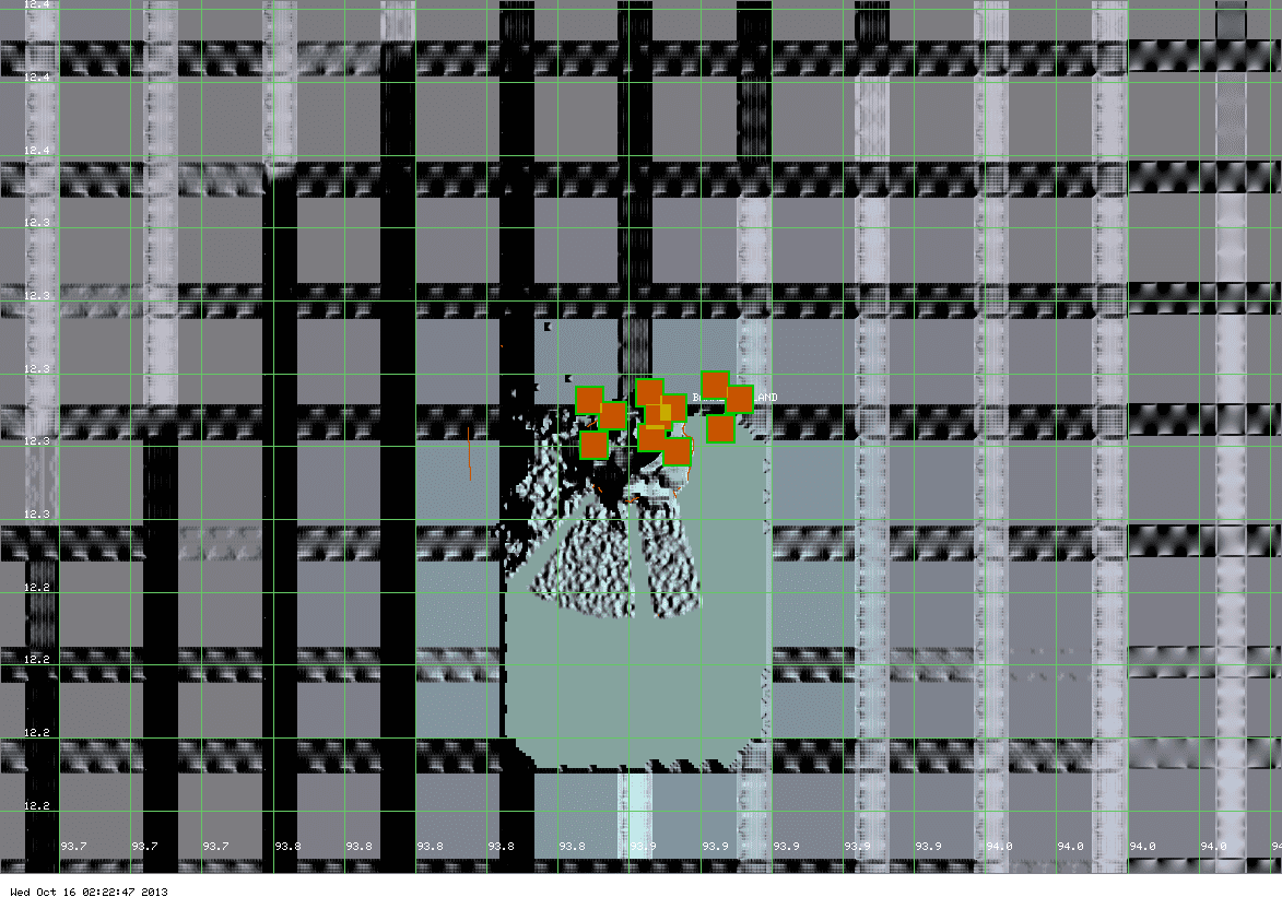
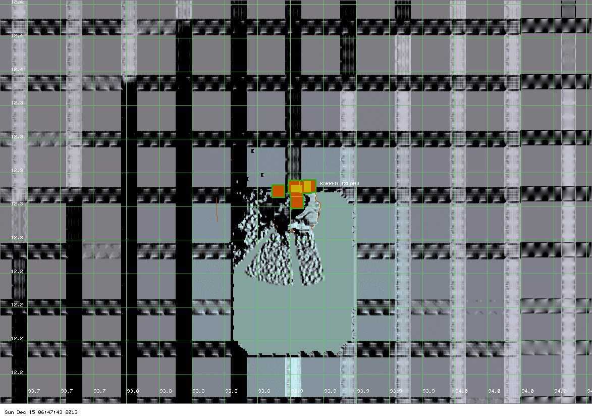
MODIS hot spot on Barren Island volcano (ModVolc, Univ. Hawaii)
Intermittent eruptive activity continues on the small remote island next to the Andaman island group. A small steam and ash plume and a thermal hot spot can be seen on today's and yesterday's satellite images.
Without (the rare) direct observations (usually by Indian navy), it is impossible to know exactly what type of activity is going on at the moment. It could be intermittent strombolian-type explosions, and/or lava flows or even the formation of a small temporary lava lake.

Previous news

Mon, 23 Dec 2013, 08:47

Barren Island volcano (Indian Ocean) activity update

MODIS hot spot data (past 7 days) for Brren Island volcano (ModVolc, Univ. Hawaii)
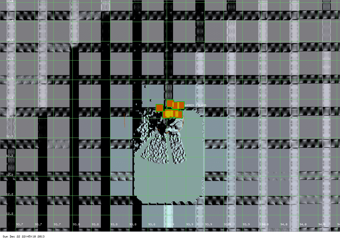
A significant thermal anomaly remains present at the volcano which is likely in some sort of eruptive activity (lava flows?). However, no plumes could be detected on satellite imagery. An aerial survey by the Indian Navy could give more clues what is going on. ... Read all
Sun, 15 Dec 2013, 16:50

Barren Island volcano (India) - new hot spots, possible lava flows

MODIS hot spot data (past 7 days) for Barren Island volcano (ModVolc, Univ. Hawaii)
New and relatively strong thermal signals are visible on satellite data. They suggest renewed (or increased) activity, perhaps in the form of lava flows. ... Read all
Show more

Background:

Barren Island, a possession of India in the Andaman Sea about 135 km NE of Port Blair in the Andaman Islands, is the only historically active volcano along the N-S-trending volcanic arc extending between Sumatra and Burma (Myanmar).  The 354-m-high island is the emergent summit of a volcano that rises from a depth of about 2250 m.  The small, uninhabited 3-km-wide island contains a roughly 2-km-wide caldera with walls 250-350 m high.  The caldera, which is open to the sea on the west, was created during a major explosive eruption in the late Pleistocene that produced pyroclastic-flow and -surge deposits.  The morphology of a fresh pyroclastic cone that was constructed in the center of the caldera has varied during the course of historical eruptions.  Lava flows fill much of the caldera floor and have reached the sea along the western coast during eruptions in the 19th century and more recently in 1991 and 1995.
---
Source: GVP, Smithsonian Institution

Stratovolcano 354 m / 1,161 ft.
Indian Ocean, 12.28°N / 93.86°E
Current status: erupting (4 out of 5) Barren Island volcano eruptions:
1787, 1789, 1795, 1803-04, 1852(?), 1991, 1994-95, 2005-2006, 2015, 2016, 2018, 2019
Typical eruption style
Explosive
Location map of Barren Island.
Try our free app!
Volcanoes & Earthquakes - new app for Android
Android | iOS version

More on VolcanoDiscovery

Why is there advertising on this site?

Support us - Help us upgrade our services!

We truly love working to bring you the latest volcano and earthquake data from around the world. Maintaining our website and our free apps does require, however, considerable time and resources.
We need financing to increase hard- and software capacity as well as support our editor team. We're aiming to achieve uninterrupted service wherever an earthquake or volcano eruption unfolds, and your donations can make it happen! Every donation will be highly appreciated. If you find the information useful and would like to support our team in integrating further features, write great content, and in upgrading our soft- and hardware, please make a donation (PayPal or Online credit card payment).

Planned features:Thanks to your past donations, these features have been added recently:
Download and Upgrade the Volcanoes & Earthquakes app to get one of the fastest seismic and volcano alerts online:
Android | IOS
Thank you!
Sources: VolcanoDiscovery / VolcanoAdventures and other sources as noted.
Use of material: Most text and images on our websites are owned by us. Re-use is generally not permitted without authorization. Contact us for licensing rights.
Volcanoes & Earthquakes
VolcanoDiscovery Home
Volcanoes | Earthquakes | Photos | Volcano News | App
Adventure & Study Travel
Tours to Volcanoes and Volcanic Areas: walking tours, photo tours, study tours
Tours & Dates | FAQ | About us
Get our newsletter!
Company info
Contact | Legal info | Terms & conditions
Follow us
Follow us on facebook Follow us on Instagram Follow us on Twitter Visit our Youtube channel
EN | DE | EL | ES | FR | IT | RU
VolcanoDiscovery GmbH, Germany, Reg. nr.: HRB 103744, EU Tax Id: DE 297 465 123 owned and created by
Dr. Tom Pfeiffer, volcanologist, volcano photographer, tour organizer member of
IAVCEI
IAVCEI
Vulkanologische Gesellschaft
Volcanological Society
Ecotourism Greece
Ecotourism Greece
RUV insurance
Insured by R+V
VolcanoDiscovery © 2004- All Rights Reserved | Privacy - Cookie Settings