Dutton Volcano
Updated: 8. Mai 2024 19:10 GMT -
Stratovolcano 1506 m / 4,941 ft
United States, Alaska Peninsula, 55.17°N / -162.27°W
Aktueller Status: normal / ruhend (1 von 5)
United States, Alaska Peninsula, 55.17°N / -162.27°W
Aktueller Status: normal / ruhend (1 von 5)
[smaller] [larger]
Ausbrüche des Dutton: unknown, no recent eruptions
Letzte Erdbeben in der Nähe
| Uhrzeit | Mag. / Tiefe | Entfernung / Ort | |||
| 2. Mai. 08:10 (Anchorage) | 0.8 2.3 km | Info | |||
| Mittwoch, 1. Mai 2024 GMT (1 Beben) | |||||
| 1. Mai. 14:37 (Anchorage) | 0.8 1.3 km | Info | |||
| Dienstag, 30. April 2024 GMT (1 Beben) | |||||
| 30. Apr. 15:34 (Anchorage) | 0.9 2.7 km | Info | |||
| Montag, 29. April 2024 GMT (3 Beben) | |||||
| 29. Apr. 10:40 (Anchorage) | 1.0 0.4 km | Info | |||
| 29. Apr. 10:00 (Anchorage) | 1.3 3.4 km | 24 km südlich | Info | ||
| 29. Apr. 05:34 (Anchorage) | 1.1 1.8 km | 13 km südlich | Info | ||
Beschreibung
The Mount Dutton volcanic center east of Cold Bay near the tip of the Alaska Peninsula consists of a glacier-covered, 1506-m-high central lava dome complex. Early andesitic lava flows and late-stage dacitic lava domes have been partially removed by one or more Holocene edifice collapses about 5100-6800 years ago. This created debris avalanches that traveled to the west and to the south, reaching Belkofski Bay. The important regional fishing center of King Cove lies less than 15 km from the volcano, and the village's airstrip is built on top of the southern avalanche deposit. A steep-sided complex of lava domes forms the summit of the volcano, and young block-and-ash flow deposits extend to the east. Two small unglaciated lava domes on the NE flank 3.5 km from the summit are also of Holocene age. Major earthquake swarms near the volcano were recorded in 1984-85 and 1988.---
Smithsonian / GVP volcano information
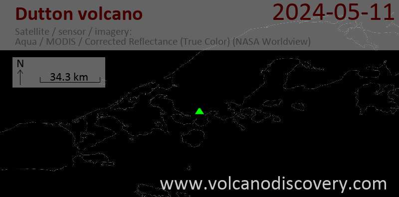
Latest satellite images