Kuchinoerabu-jima Volcano
Updated: 6. Mai 2024 13:09 GMT -
stratovolcanoes 657 m / 2,155 ft
Ryukyu-Inseln (Japan), 30.44°N / 130.22°E
Aktueller Status: unruhig (2 von 5)
Ryukyu-Inseln (Japan), 30.44°N / 130.22°E
Aktueller Status: unruhig (2 von 5)
Last update: 17 Apr 2024 (Smithsonian / USGS Weekly Volcanic Activity Report)
Kuchinoerabu-jima (口永良部島 本村西) volcano is one of the active volcanoes of the Ryukyu Island arc, Japan. The 4x12 km wide island is sparsely populated and located 15 km west of Yaku-shima.
All historic activity which consisted in frequent explosions recorded since 1840 took place from Shin-take, but there is a young, but undated lava flow from the south flank of Furu-take that reached the coast.
The largest eruption in historic time occurred in December 1933 and caused damage in several villages located only a few km from the active crater.
[smaller] [larger]
Ausbrüche des Kuchinoerabu-jima: 2015, 2014, 1980, 1976, 1974, 1973, 1972, 1968-69, 1966, 1945, 1933-34, 1932 (?), 1931, 1914, 1906-07 (?), 1841, 1840
radiocarbon-dated: 1560 ± 100 years, 1470 ± 50, 1440 ± 50, 1110 ± 75, 1100 ± 100, 970 AD ± 75, 600 AD ± 75, 1140 BC ± 150, 1450 BC ± 75, 3480 BC ± 150, 9520 BC ± 300
Letzte Erdbeben in der Nähe
| Uhrzeit | Mag. / Tiefe | Entfernung / Ort | |||
Beschreibung
It consists of a group of young stratovolcanoes on the eastern end of the island. The youngest vents are Furu-take (the highest peak of the island), Shin-take (the youngest crater), and Noike aligned south to north and form a composite cone.Ausbrüche des Vulkans Kuchinoerabu-jima
1996-2009 seismic unrest
No eruption has occurred since 1980, but there were many seismic swarms and periods with increased number of earthquakes from time to time in this interval.
For example, a seismic swarm with 70 earthquakes occurred on 4 September 2008 and triggered an alarm.
Seismicity was higher in March 2004, January-February, May, July-September, and November 2005, March-April, August, and October-December 2006, and February and April 2007.
1980 eruption
A brief and small phreatic eruption occurred on 28 September 1980 from Kuchinoerabu-jima volcano. It lasted half an hour and produced a 2-3 km high ash cloud, opened a new 0.6-6.0 m wide and 750 m long N-S trending fissure near Shin-dake crater, and deposited ash and blocks to the southwest of Shin-dake.
A brief and small phreatic eruption occurred on 28 September 1980 from Kuchinoerabu-jima volcano. It lasted half an hour and produced a 2-3 km high ash cloud, opened a new 0.6-6.0 m wide and 750 m long N-S trending fissure near Shin-dake crater, and deposited ash and blocks to the southwest of Shin-dake.
1976 eruption
The second last (as of 2011) historic eruption of Kuchinoerabu-jima volcano was on 2 April 1976. An explosion occurred from the Shin-dake cone and produced a 3 km high ash column. The main phase of the eruption lasted about 30 minutes and decreased to weak emissions reaching 200 m afterwards and intermittent larger explosions lasting until 3 June. weak plume. 2 cm deep ash was deposited in a village 3 km from the crater.
(Source: Smithsonian / GVP monthly reports)
1974 eruption
A small phreatic eruption took place from Shin-take cone on 3 June 1974.
A small phreatic eruption took place from Shin-take cone on 3 June 1974.
1933-34 eruption & fatalities
The largest eruption of Kuchinoerabu-jima started in historic times occurred between late 1933 and lasted until 12 January 1934.
An explosion on 23 December ejected tephra to the SSE, killing 8 and injuring 26. Nanakama village, 1.5 km from the crater was burned by fire from glowing blocks.
The largest eruption of Kuchinoerabu-jima started in historic times occurred between late 1933 and lasted until 12 January 1934.
An explosion on 23 December ejected tephra to the SSE, killing 8 and injuring 26. Nanakama village, 1.5 km from the crater was burned by fire from glowing blocks.
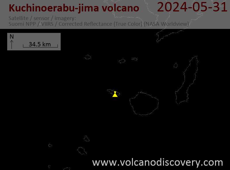
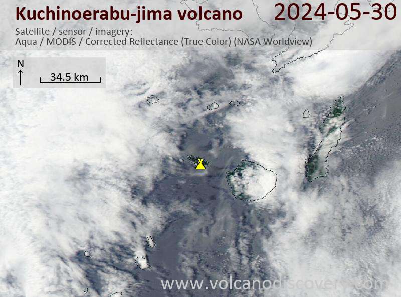
Latest satellite images