


Latest quakes in or near Mosul, Nineveh, Iraq - list, stats and map
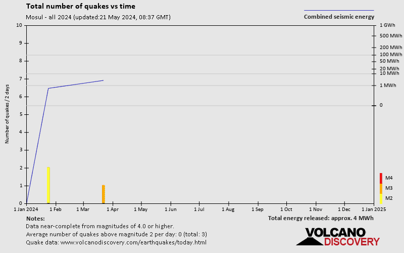
| Latest See all | Mag. 3.5 earthquake 15 km southeast of Mossul - Nineveh, Iraq - Mar 22, 2024 - |
| Strongest since 1970 | Mag. 5.1 Iraq - Jul 18, 2009 - |
- 1 quake above magnitude 5
- 4 quakes between magnitude 4 and 5
- 16 quakes between magnitude 3 and 4
- 13 quakes between magnitude 2 and 3
Date and Time | Mag Depth | Nearest Volcano | Location | Details | Map |
|---|---|---|---|---|---|
| Mar 22, 04:39 pm (Baghdad) | 3.5 7 km | Info | |||
| Tuesday, January 23, 2024 GMT (2 quakes) | |||||
| Jan 23, 01:50 pm (Baghdad) | 2.7 9.9 km | Info | |||
| Jan 23, 09:49 am (Baghdad) | 2.8 7 km | Info | |||
| Friday, December 29, 2023 GMT (1 quake) | |||||
| Dec 29, 2023 08:54 pm (Baghdad) | 2.3 18 km | Info | |||
| Friday, October 1, 2021 GMT (1 quake) | |||||
| Oct 1, 2021 09:57 pm (Baghdad) | 2.0 4 km | Info | |||
| Saturday, November 7, 2020 GMT (1 quake) | |||||
| Nov 7, 2020 11:38 pm (Baghdad) | 3.3 10 km | Info | |||
| Monday, September 23, 2019 GMT (1 quake) | |||||
| Sep 23, 2019 06:13 am (Baghdad) | 2.8 10 km | Info | |||
| Sunday, September 22, 2019 GMT (1 quake) | |||||
| Sep 22, 2019 04:49 am (Baghdad) | 3.8 11 km | Info | |||
| Monday, January 7, 2019 GMT (1 quake) | |||||
| Jan 7, 2019 11:59 am (Baghdad) | 3.8 1.9 km | Info | |||
| Tuesday, March 13, 2018 GMT (1 quake) | |||||
| Mar 13, 2018 11:00 pm (Baghdad) | 2.9 5 km | Info | |||
| Tuesday, June 10, 2014 GMT (2 quakes) | |||||
| Jun 10, 2014 11:01 pm (Baghdad) | 2.0 2 km | Info | |||
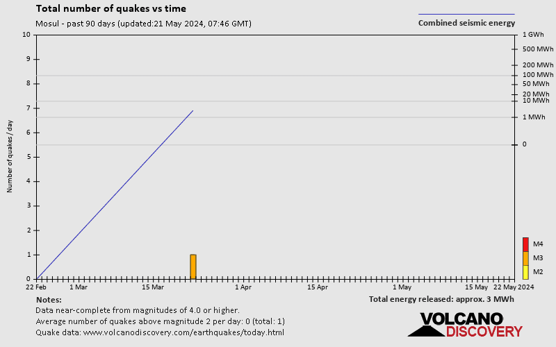
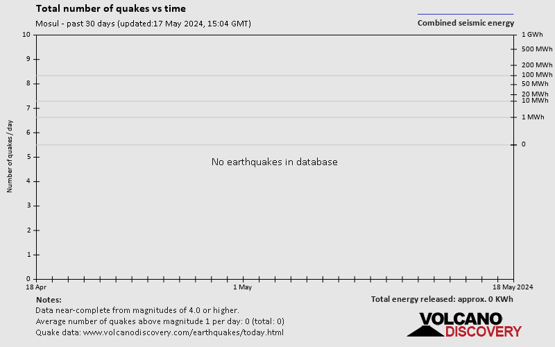
Mosul Quake-O-Meter
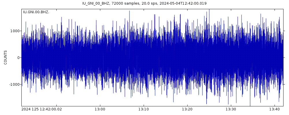
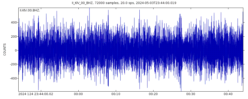
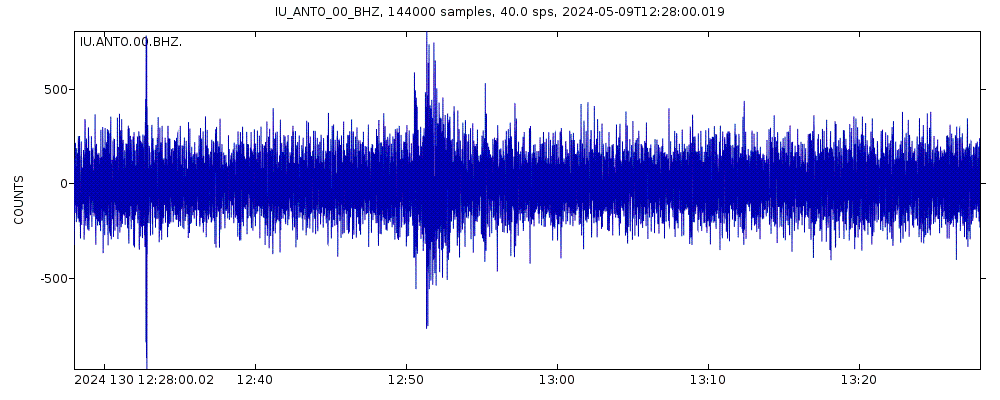
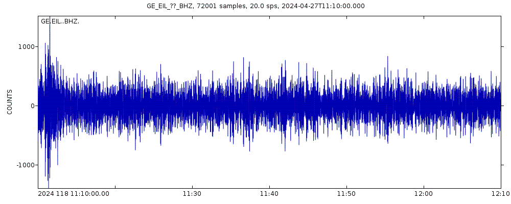
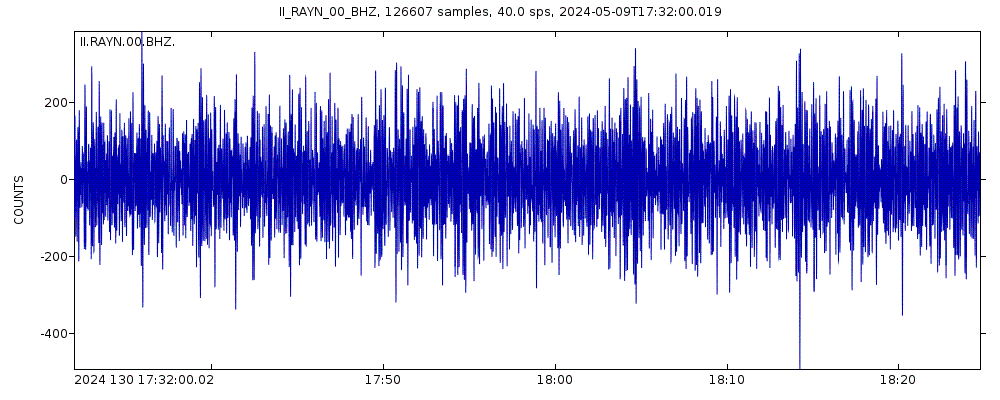
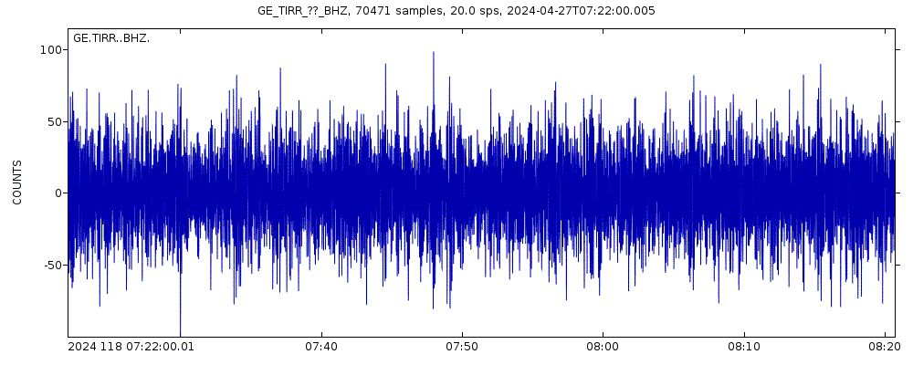
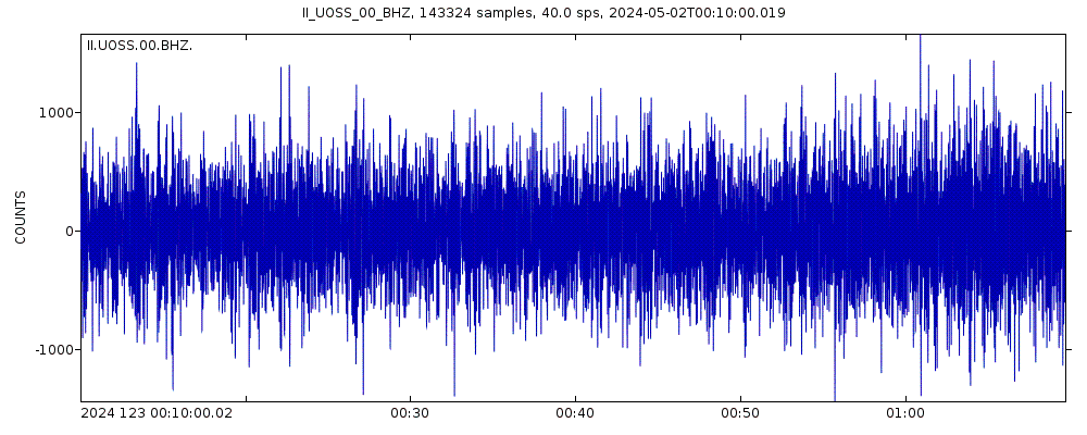
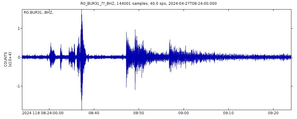
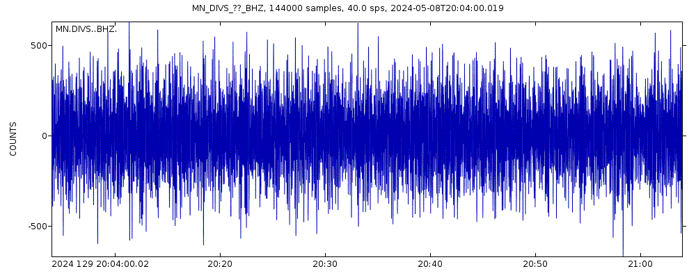
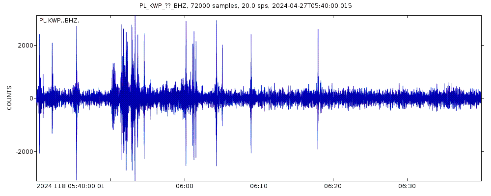
Latest seismic signals
Earthquake Catalog - Look up past earthquakes
| or | ||
Look up quakes! | ||
Earthquake statistics
Average number of earthquakes
- Mag. 5 or higher: 0.03 quakes per year (or 1 quake every 38.5 years)
- Mag. 4 or higher: 0.1 quakes per year (or 1 quake every 10 years)
- Mag. 3 or higher: 0.73 quakes per year (or 1 quake every 1.4 years)
- Mag. 2 or higher: 1.64 quakes per year
Number of earthquakes over time
Mosul Earthquake FAQ
+How frequent are earthquakes in or near Mosul, Nineveh, Iraq?
Mosul has very few earthquakes and most of them are very small (below magnitude 3). Larger quakes with magnitudes above 3 might occur from time to time. Based on data from the past 54 years and our earthquake archive back to 1900, there are about 1.6 quakes on average per year in or near Mosul, Nineveh, Iraq. However, Mosul has had at least 2 quakes above magnitude 5 since 1970, which suggests that larger earthquakes of this size occur infrequently, probably on average approximately every 25 to 30 years.
+When was the latest earthquake in Mosul?
The last earthquake in Mosul occurred 6 weeks ago and had a magnitude of 3.5:
A light magnitude 3.5 earthquake hit 15.4 km (10 mi) away from Mossul, Nineveh, ![]() Iraq, in the afternoon of Friday, Mar 22, 2024 at 4.39 pm local time (Asia/Baghdad GMT +3). The quake had a very shallow depth of 7 km (4.3 mi) and was not felt (or at least not reported so).
Iraq, in the afternoon of Friday, Mar 22, 2024 at 4.39 pm local time (Asia/Baghdad GMT +3). The quake had a very shallow depth of 7 km (4.3 mi) and was not felt (or at least not reported so).
+How many quakes were there in Mosul since 1970?
Since 1970, Mosul has had 1 quake of magnitude 5.1, 4 quakes between 4.0 and 5.0, 16 quakes between 3.0 and 4.0, and 13 quakes between 2.0 and 3.0.
+What was the strongest quake in Mosul since 1970?
The strongest earthquake in Mosul since 1970 had a magnitude of 5.1 and occurred 15 years ago:
A strong magnitude 5.1 earthquake hit 54 km (34 mi) away from Mossul, Nineveh, ![]() Iraq, late in the evening of Saturday, Jul 18, 2009 at 11.32 pm local time (Asia/Baghdad GMT +3). The quake had a very shallow depth of 26 km (16 mi) .
Iraq, late in the evening of Saturday, Jul 18, 2009 at 11.32 pm local time (Asia/Baghdad GMT +3). The quake had a very shallow depth of 26 km (16 mi) .
Embed or share standalone map
You can use the standalone version of our interactive earthquake map or embed it on your website:Largest Quakes in or near Mosul, Nineveh, Iraq
Date and Time | Mag Depth | ###DIST_LABEL### | Location | Details | Map |
|---|


