Langila volcano Volcanic Ash Advisory: VA OBS TO FL060 MOV TO NW AT 24/2120Z.
Tue, 24 Jan 2017, 22:00 |
Volcanic Ash Advisory Center Darwin (VAAC) issued the following report:FVAU0405 at 21:45 UTC, 24/01/17 from ADRM
VA ADVISORY
DTG: 20170124/2145Z
VAAC: DARWIN
VOLCANO: LANGILA 252010
PSN: S0532 E14825
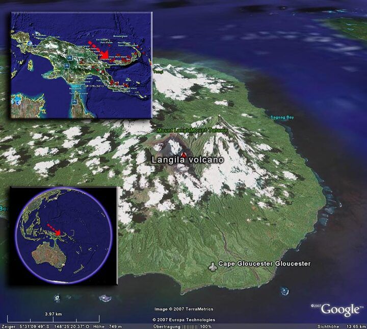
AREA: PAPUA NEW GUINEA
SUMMIT ELEV: 1330M
ADVISORY NR: 2017/23
INFO SOURCE: HIMAWARI-8
AVIATION COLOUR CODE: ORANGE
ERUPTION DETAILS: VA OBS TO FL060 MOV TO NW AT 24/2120Z.
OBS VA DTG: 24/2145Z
OBS VA CLD: SFC/FL060 S0532 E14824 - S0531 E14827 - S0524
E14824 - S0508 E14824 - S0511 E14808 - S0524 E14818 MOV N
15KT
FCST VA CLD +6 HR: 25/0345Z SFC/FL060 S0502 E14829 - S0506
E14804 - S0532 E14824 - S0531 E14828
FCST VA CLD +12 HR: 25/0945Z SFC/FL060 S0503 E14831 - S0505
E14810 - S0532 E14824 - S0532 E14827
FCST VA CLD +18 HR: 25/1545Z SFC/FL060 S0503 E14832 - S0505
E14810 - S0533 E14824 - S0531 E14828
RMK: VA OBS MOV TO NW ON LATEST SATELLITE IMAGERY; HOWEVER,
EXTENT OF VA PARTLY OBSCURED BY MET CLOUD. HEIGHT AND
FORECAST DERIVED FROM OBS PLUME MOVEMENT ON HIMAWARI-8 VIS
IMAGERY AND EC MODEL GUIDANCE.
NXT ADVISORY: NO LATER THAN 20170125/0345Z
- All news about: Langila volcano
- Information about: Langila volcano
Previous news
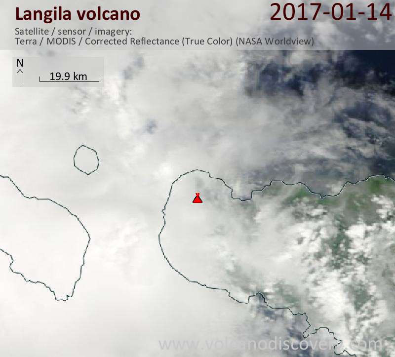
Sat, 14 Jan 2017, 22:00
Langila volcano Volcanic Ash Advisory: VA OBS TO FL070 MOV TO SE AT 14/2120Z.
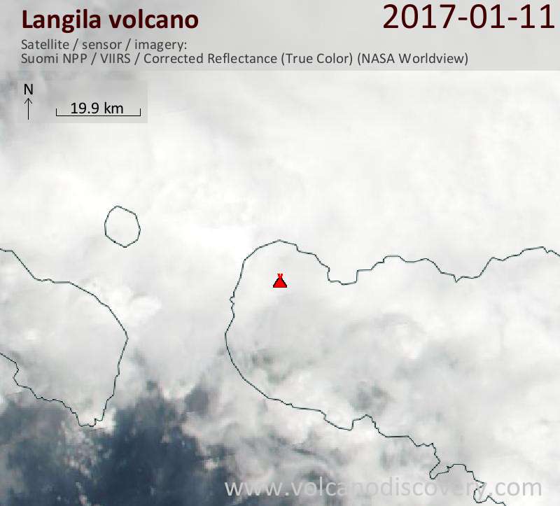
Wed, 11 Jan 2017, 22:45
Langila volcano Volcanic Ash Advisory: VA OBS TO FL070 MOV TO ESE AT 11/2220Z.
Show more