


Latest quakes in or near Blönduosbær, Northwest, Iceland - list, stats and map
| Latest See all | Mag. 1.2 earthquake 14.1 km WNW of Gjögurtá - |
| Strongest since 2024 | Mag. 2.4 26.6 Km E of Hveravellir - Jan 18, 2024 - |
Date and Time | Mag Depth | Nearest Volcano | Location | Details | Map |
|---|---|---|---|---|---|
| Apr 28, 10:02 pm (Reykjavik) | 1.2 8.4 km | Info | |||
| Apr 28, 06:56 pm (Reykjavik) | 1.8 5.1 km | Info | |||
| Apr 28, 06:41 pm (Reykjavik) | 1.6 1.1 km | Info | |||
| Apr 28, 06:18 pm (Reykjavik) | 1.7 5.3 km | Info | |||
| Thursday, April 25, 2024 GMT (1 quake) | |||||
| Apr 25, 02:42 pm (Reykjavik) | 0.9 10 km | Info | |||
| Monday, April 22, 2024 GMT (2 quakes) | |||||
| Apr 22, 06:57 pm (Reykjavik) | 1.3 0.7 km | Info | |||
| Apr 22, 06:04 pm (Reykjavik) | 0.5 10 km | Info | |||
| Friday, April 19, 2024 GMT (1 quake) | |||||
| Apr 19, 10:12 am (Reykjavik) | 1.1 10 km | Info | |||
| Friday, April 12, 2024 GMT (2 quakes) | |||||
| Apr 12, 08:02 pm (Reykjavik) | 2.0 4.5 km | Info | |||
| Apr 12, 03:04 pm (Reykjavik) | 1.7 3.5 km | Info | |||
| Monday, April 8, 2024 GMT (1 quake) | |||||
| Apr 8, 04:33 pm (Reykjavik) | 0.9 10 km | Info | |||
Blönduosbær Quake-O-Meter
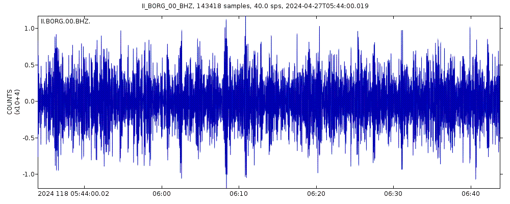
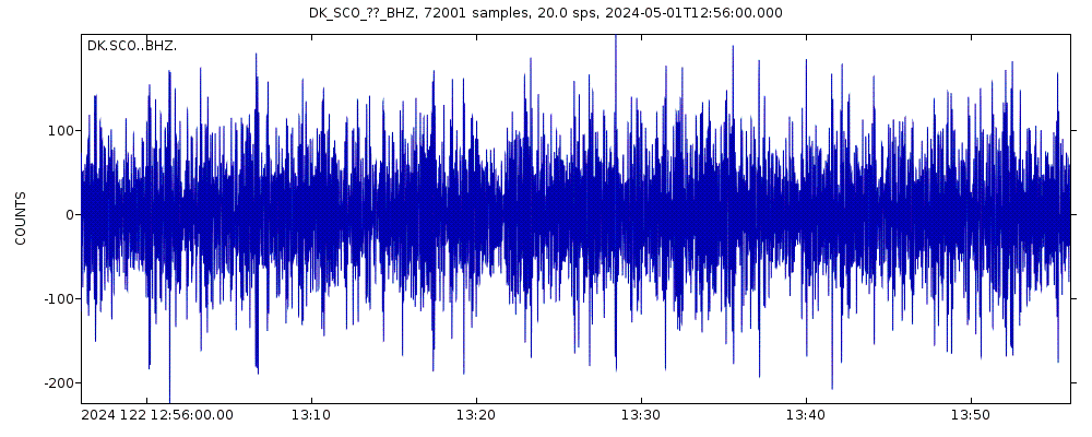
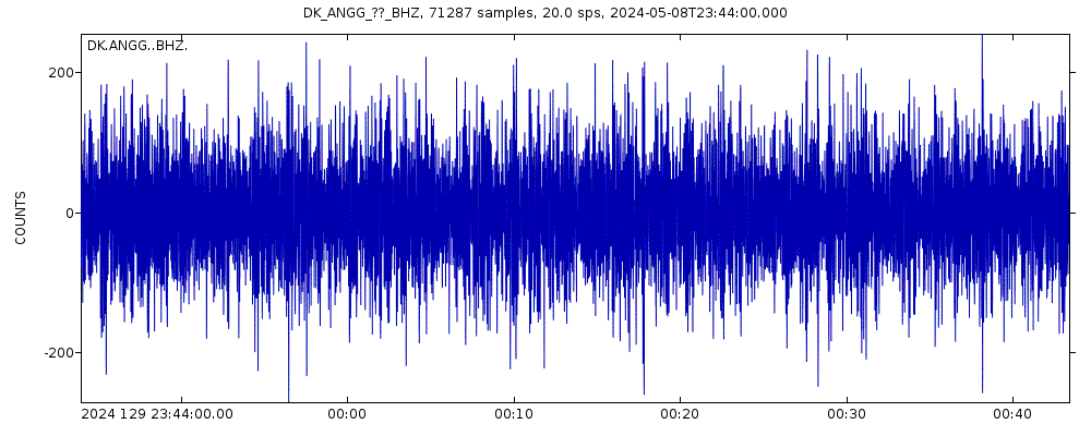
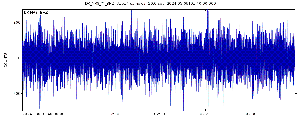
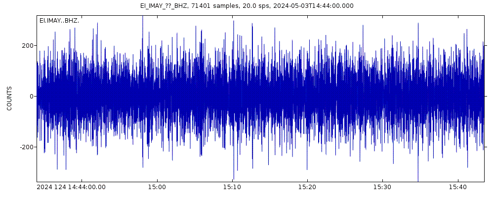
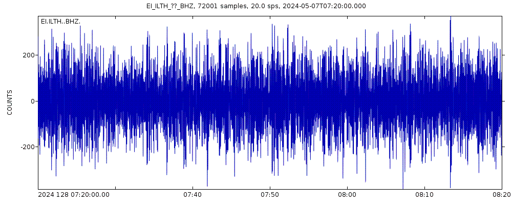
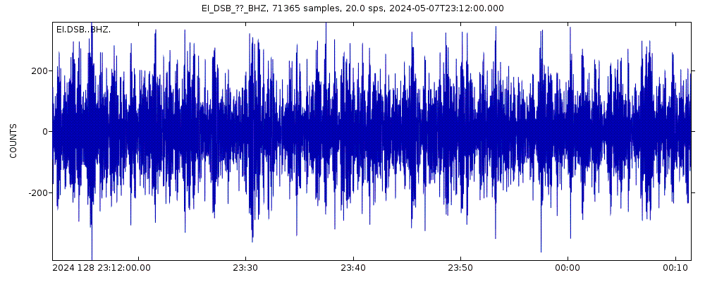
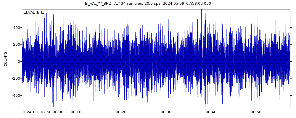
Latest seismic signals


Earthquake Catalog - Look up past earthquakes
| or | ||
Look up quakes! | ||
Earthquake statistics
Average number of earthquakes
- Mag. 3 or higher: 0.16 quakes per year (or 1 quake every 6.3 years)
- Mag. 2 or higher: 1.43 quakes per year
- Mag. 1 or higher: 4.6 quakes per year
Number of earthquakes over time


Blönduosbær Earthquake FAQ
+How frequent are earthquakes in or near Blönduosbær, Northwest, Iceland?
Blönduosbær has very few earthquakes and most of them are very small (below magnitude 3). Larger quakes with magnitudes above 3 might occur from time to time. Based on data from the past 54 years and our earthquake archive back to 1900, there are about 7 quakes on average per year in or near Blönduosbær, Northwest, Iceland. No earthquakes of magnitude 5 or higher are known to have occurred in or near Blönduosbær, Northwest, Iceland over the past 54 years. This does not mean that they cannot occur, but if any suggests that quakes of this strength are extremely rare.
+When was the latest earthquake in Blönduosbær?
The last earthquake in Blönduosbær occurred 5 hours ago and had a magnitude of 1.2:
A light magnitude 1.2 earthquake occurred under the sea near the coast of ![]() Iceland late in the evening of Sunday, Apr 28, 2024 at 10.02 pm local time (Atlantic/Reykjavik GMT +0). The quake had a very shallow depth of 8.4 km (5.2 mi) and was too small to be felt by people.
Iceland late in the evening of Sunday, Apr 28, 2024 at 10.02 pm local time (Atlantic/Reykjavik GMT +0). The quake had a very shallow depth of 8.4 km (5.2 mi) and was too small to be felt by people.
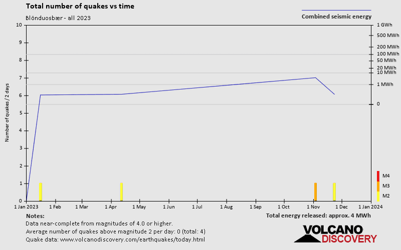
+How many quakes were there in Blönduosbær since 2024?
There have been 0 quakes of magnitude 2.0+ in or near Blönduosbær since 2024.
+What was the strongest quake in Blönduosbær since 2024?
The strongest earthquake in Blönduosbær since 2024 had a magnitude of 2.4 and occurred 14 weeks ago:
A light magnitude 2.4 earthquake hit 98 km (61 mi) away from Akureyri, Northeast, ![]() Iceland, in the late afternoon of Thursday, Jan 18, 2024 at 6.13 pm local time (Atlantic/Reykjavik GMT +0). The quake had a very shallow depth of 3.3 km (2.1 mi) and was not felt (or at least not reported so).
Iceland, in the late afternoon of Thursday, Jan 18, 2024 at 6.13 pm local time (Atlantic/Reykjavik GMT +0). The quake had a very shallow depth of 3.3 km (2.1 mi) and was not felt (or at least not reported so).
Embed or share standalone map
You can use the standalone version of our interactive earthquake map or embed it on your website:Largest Quakes in or near Blönduosbær, Northwest, Iceland
Date and Time | Mag Depth | ###DIST_LABEL### | Location | Details | Map |
|---|


